


The Southern Apex: Geomorphology, Glacial Cirques, and High-Altitude Navigation of White Coomb
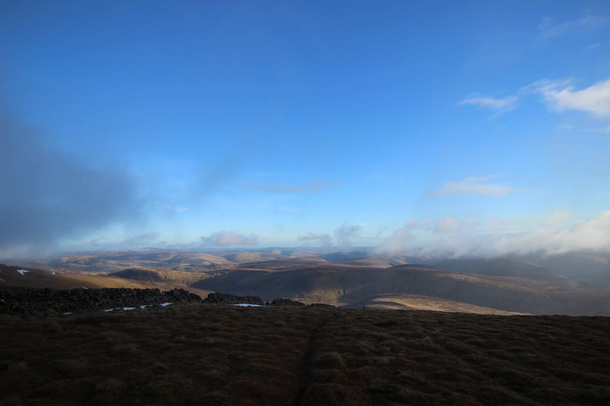
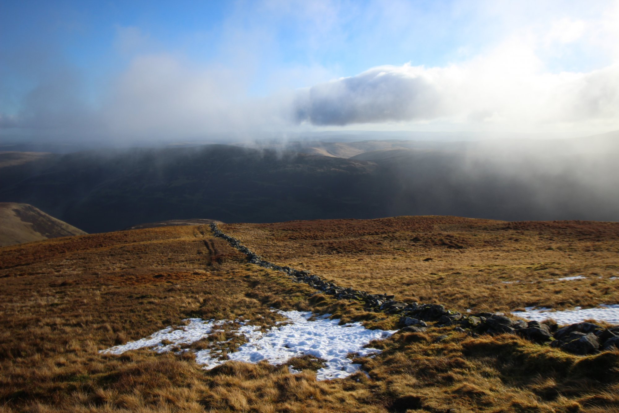
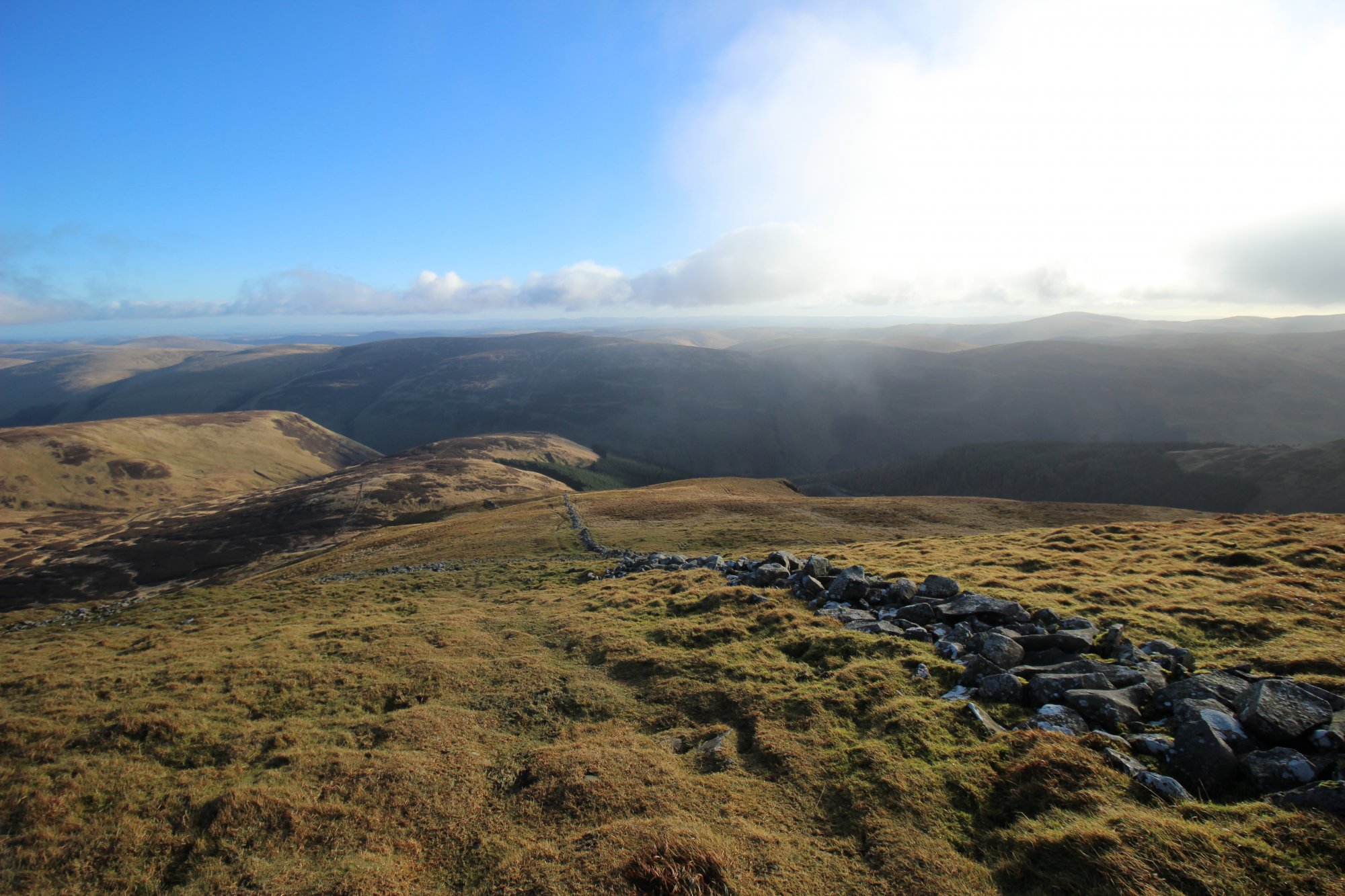
Dominating the skyline of the Moffat Hills in the Southern Uplands of Scotland, White Coomb stands as the highest peak in the region outside of the Highlands. Rising to an elevation of $821 ext{ meters}$ ($2,694 ext{ feet}$), this massive, rounded summit serves as the primary drainage divide for the high-altitude cirques of the Borders. Unlike the sharp, volcanic peaks of the north, White Coomb is defined by its deep, glacially-sculpted corries and extensive blanket bogs. Navigating this massif requires an understanding of the Southern Upland Fault systems, the unique hydrology of the Grey Mare’s Tail waterfall, and the self-sufficient navigation skills essential for the exposed, featureless plateaus of the Moffat range.
The Structural Blueprint: Glacial Corries and Sedimentary Lithology
The physical profile of White Coomb is a result of extensive Quaternary glaciation acting upon ancient sedimentary rock layers:
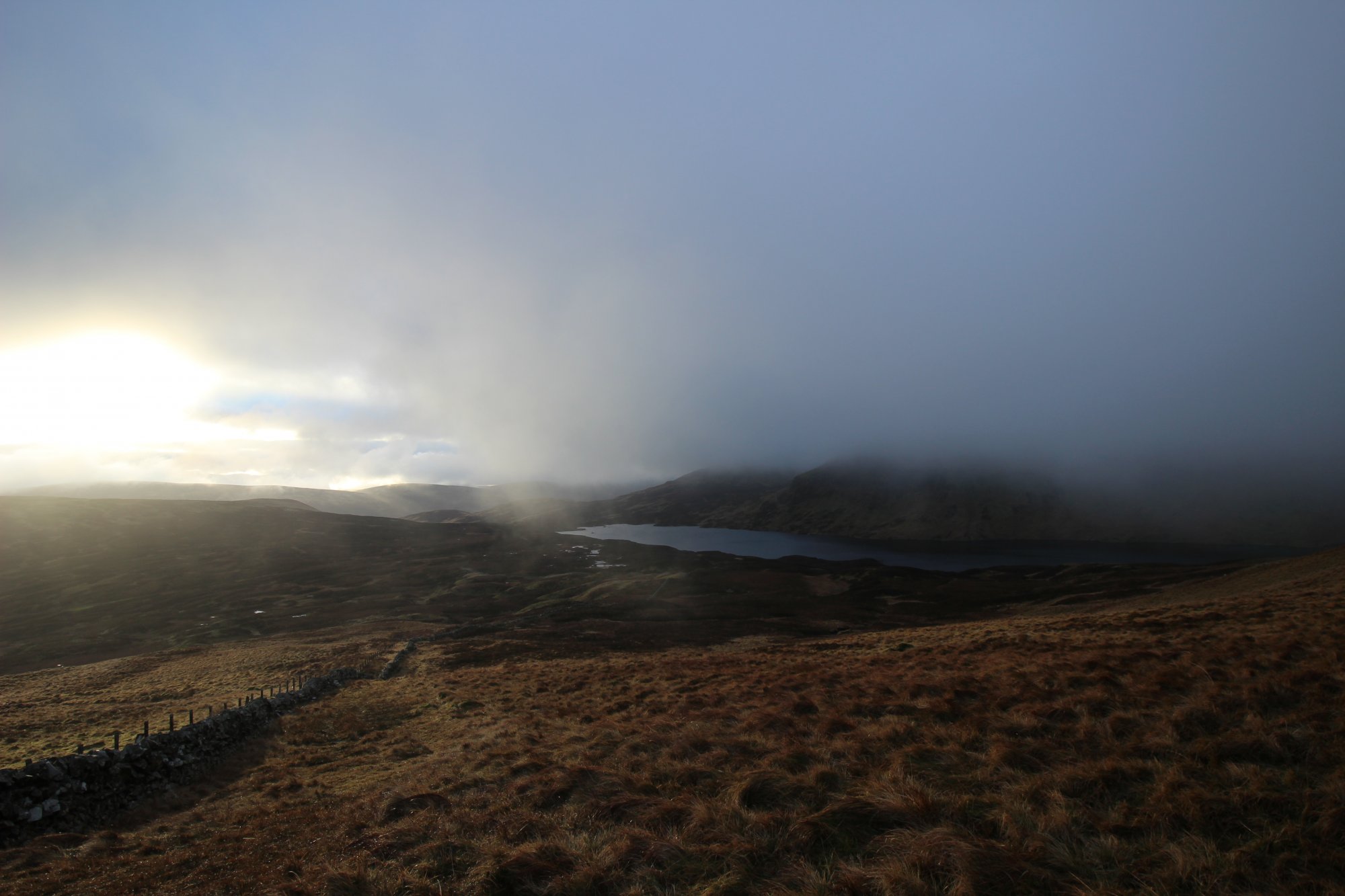
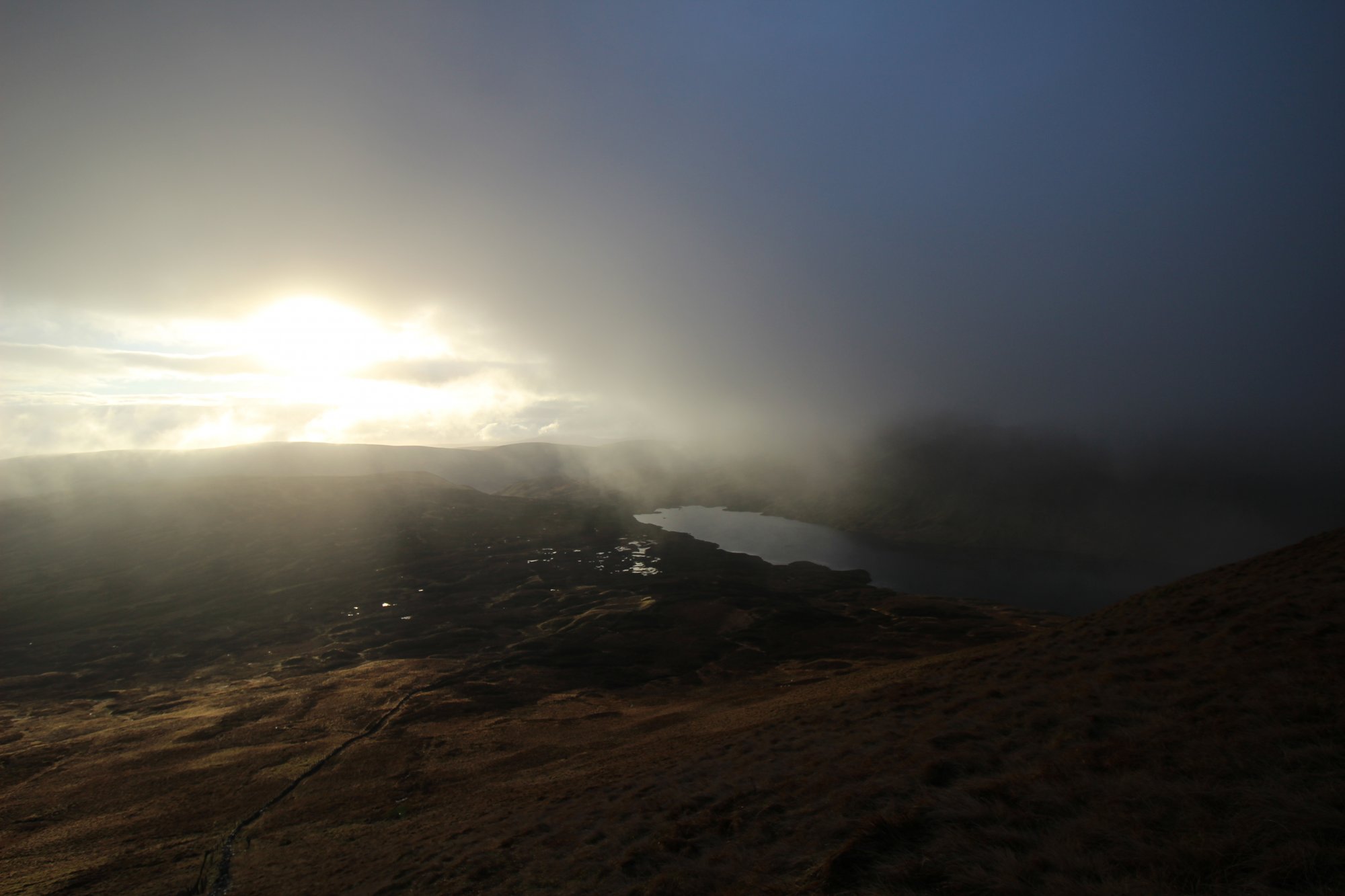
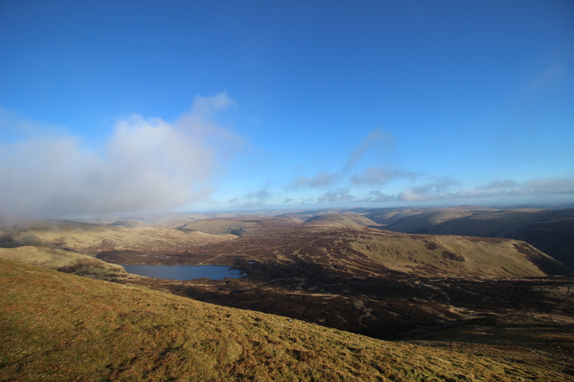
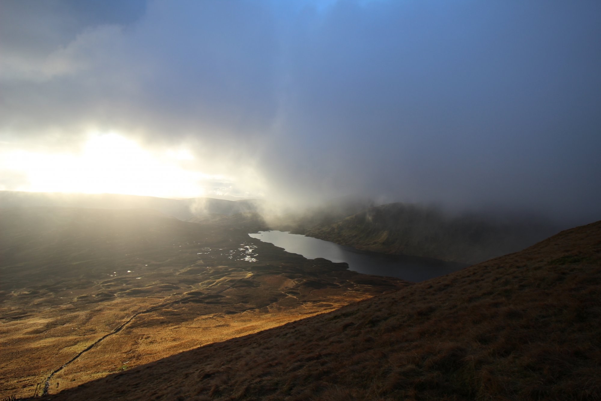
- The Corrie System (The Coomb): The name "Coomb" derives from the local term for a glacial cirque. The massif is carved by several distinct amphitheater-like basins, most notably the hollow containing Loch Skeen. These corries were formed by persistent ice accumulation and rotational scouring during successive glacial periods, which deepened the valleys and steepened the surrounding crags.
- Lithological Composition: The massif is composed primarily of Silurian-age greywacke and shale. These sedimentary rocks are highly susceptible to chemical weathering and frost-shatter, resulting in the expansive, undulating plateau top characteristic of the Southern Uplands. This lithology also influences the water retention of the area, contributing to the deep, pervasive peat deposits that mantle the higher ridges.
- The Grey Mare’s Tail Hydrology: The massif’s primary drainage channel is the Tail Burn, which exits Loch Skeen and descends the dramatic $60 ext{-meter}$ ($200 ext{-foot}$) hanging valley waterfall known as the Grey Mare’s Tail. This feature acts as the primary hydrological link between the high-altitude loch and the valley floor of Moffat Water, serving as the most significant drainage structure in the region.
The Trail Blueprint: Navigational Challenges and Moorland Safety
White Coomb is often perceived as a "walkable" mountain due to its rounded silhouette, yet the plateau presents significant navigational hazards:
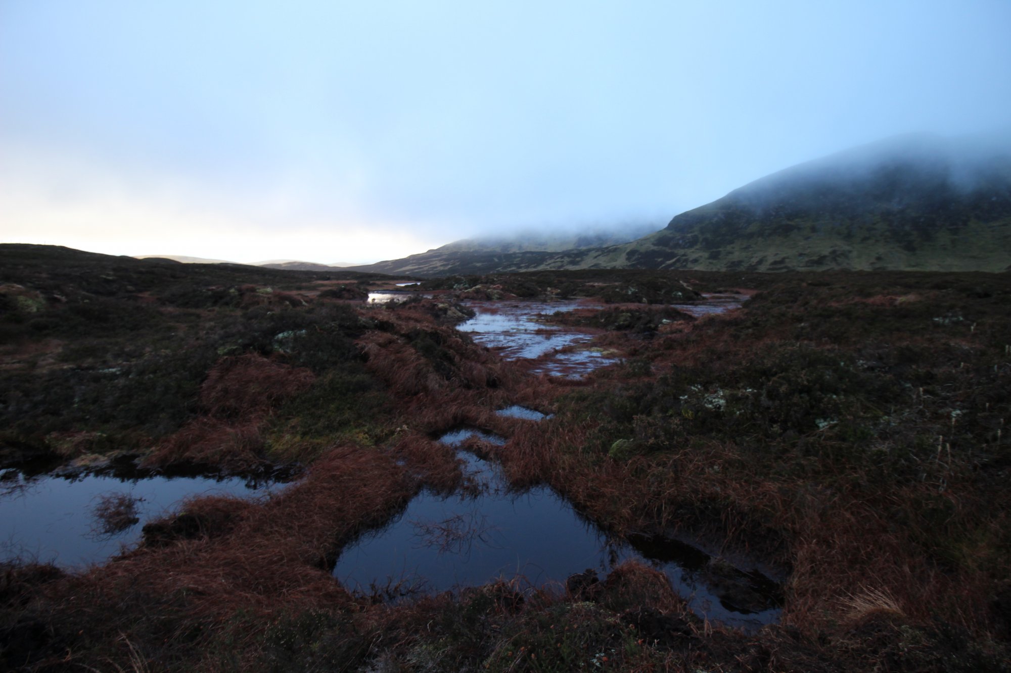
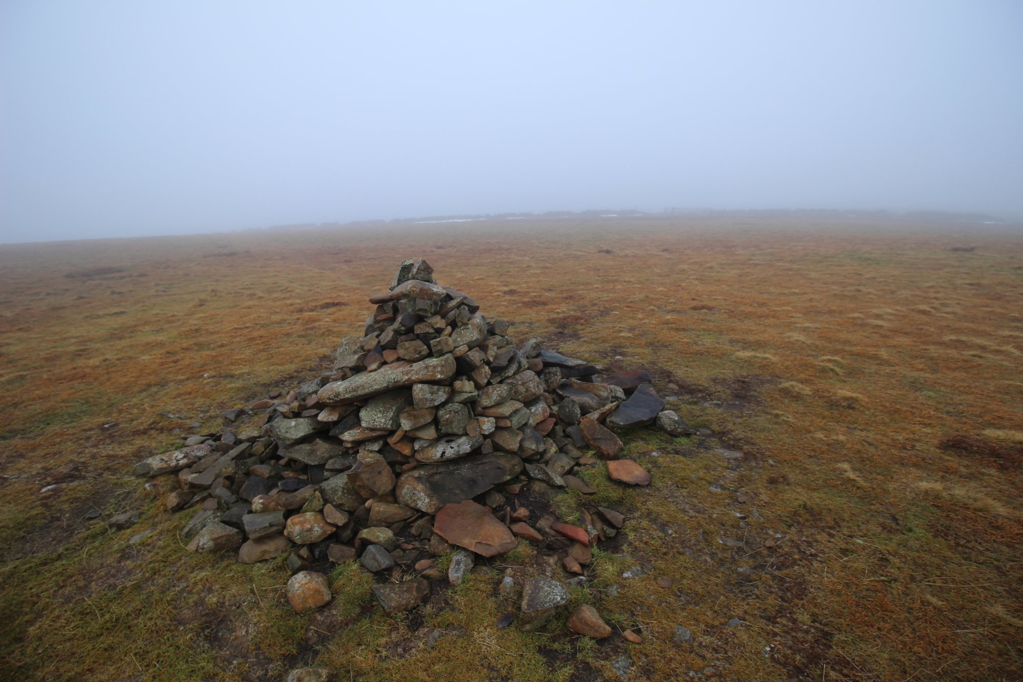
- Moorland Navigation: The plateau surrounding White Coomb is an expansive, largely featureless expanse of heather and peat bog. In conditions of low cloud cover, visibility can drop to zero within minutes. The absence of vertical landmarks necessitates advanced proficiency with a magnetic compass and topographical map. Relying on digital GPS units is discouraged, as signal degradation can occur in deep corrie basins.
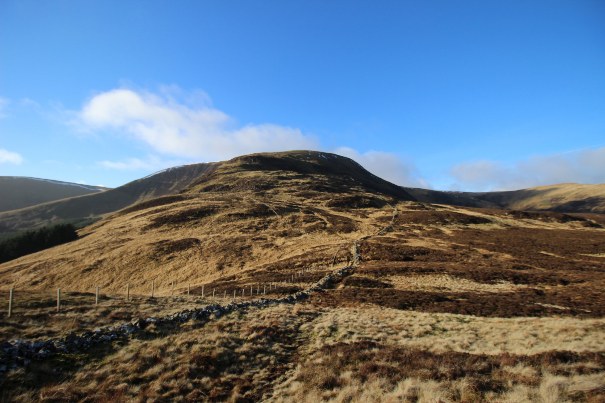
- Peat Bog and Terrain Integrity: The ascent routes, particularly those originating from the Grey Mare’s Tail car park, involve traversing deep, saturated peat. These areas are prone to severe erosion; hikers must utilize established, hardened paths wherever possible to prevent the degradation of the delicate upland biosphere. Following heavy rainfall, the drainage channels on the slopes can become impassable, requiring strategic route adjustment.
- Ascent Logistics: The standard ascent via Loch Skeen and the Firth Hope pass is a strenuous high-mountain walk. The ascent from the valley floor involves a steep climb beside the Grey Mare’s Tail, requiring stable, high-lug waterproof footwear and the physical stamina to navigate sustained inclines.
Environmental Hazards and Visitor Management
The Moffat Hills are a high-energy maritime environment where atmospheric conditions dictate safe access:
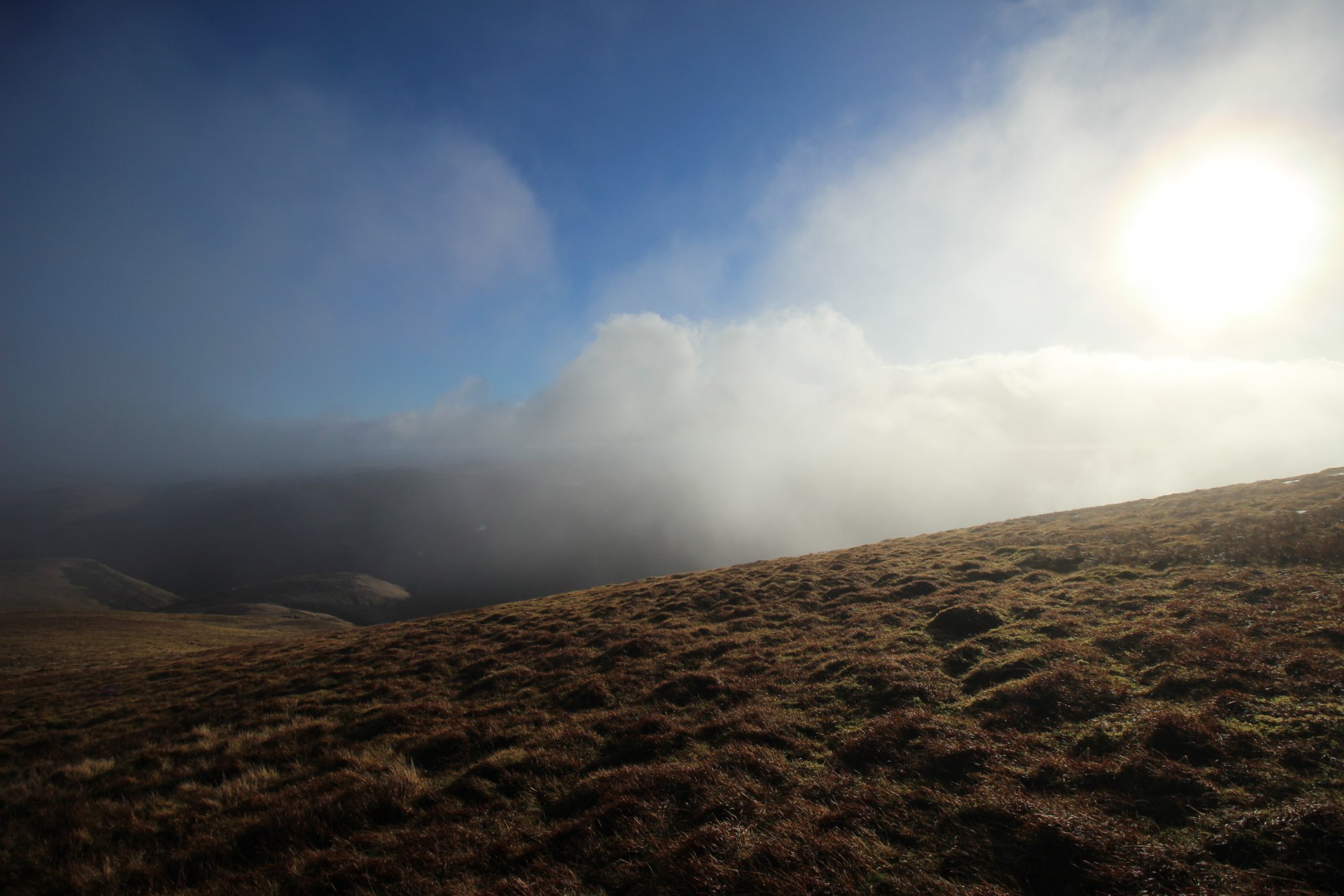
- Climatic Exposure: The lack of significant rock shelter on the White Coomb plateau makes it extremely vulnerable to sudden shifts in temperature and wind speed. Hypothermia is a genuine risk for ill-prepared hikers, even during the summer months, due to the cooling effect of high-altitude mist and rapid wind-chill factor increases.
- Wildlife and Habitat Protection: The summit area is a prime habitat for diverse upland fauna, including raptors such as peregrine falcons. The environment is strictly managed to protect these populations. Visitors must keep dogs under strict control, particularly during the ground-nesting bird season, to avoid the displacement of fragile upland species.
- Staging and Road Safety: The primary staging area is the National Trust for Scotland parking facility at the base of the Grey Mare’s Tail. This site is subject to high visitor throughput. Drivers are reminded that the A708 road is a narrow, winding route with limited passing opportunities; roadside parking is strictly prohibited to maintain traffic flow and emergency access.