



The Fractured Ridge: Geomorphology, Tectonic Landsliding, and Trail Logistics of The Whangie
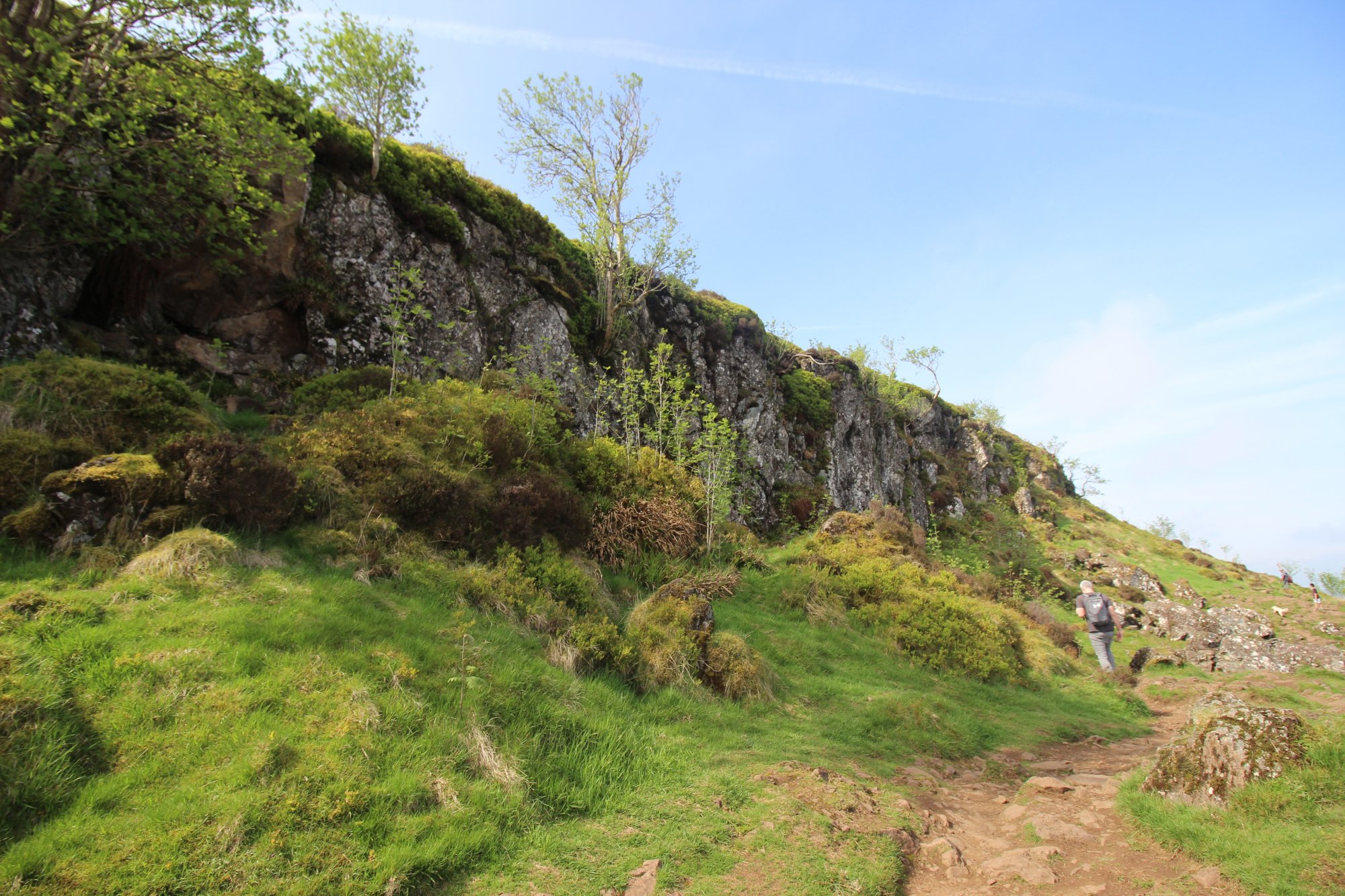
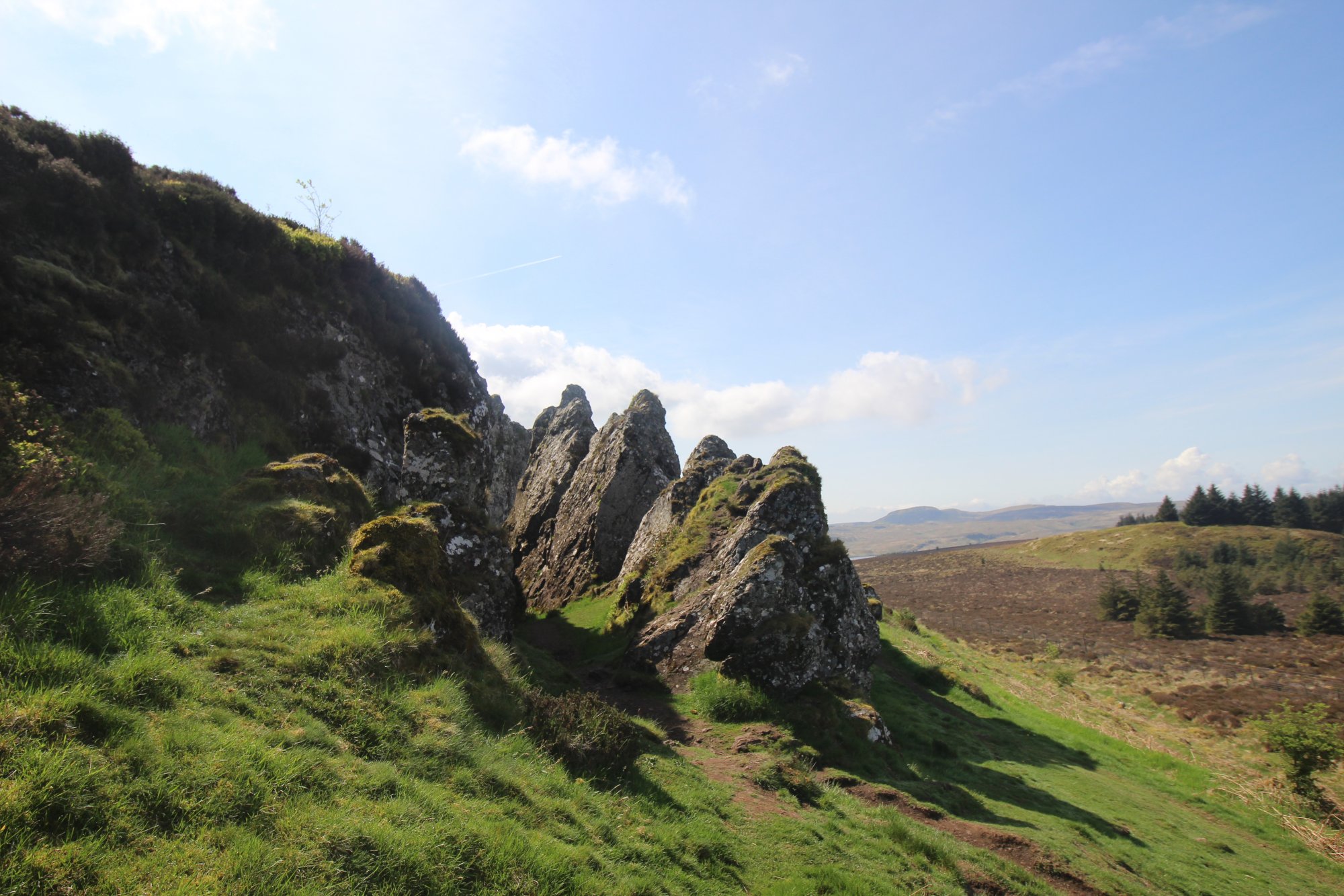
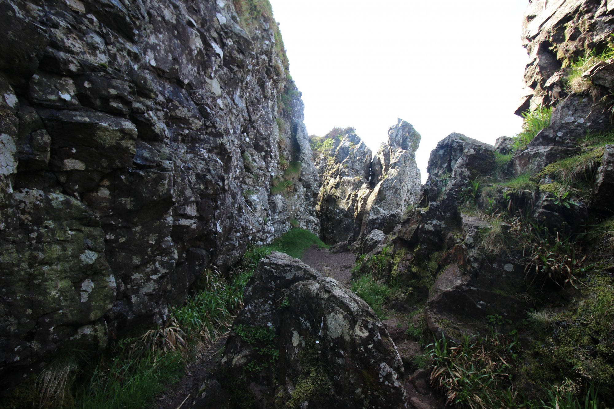
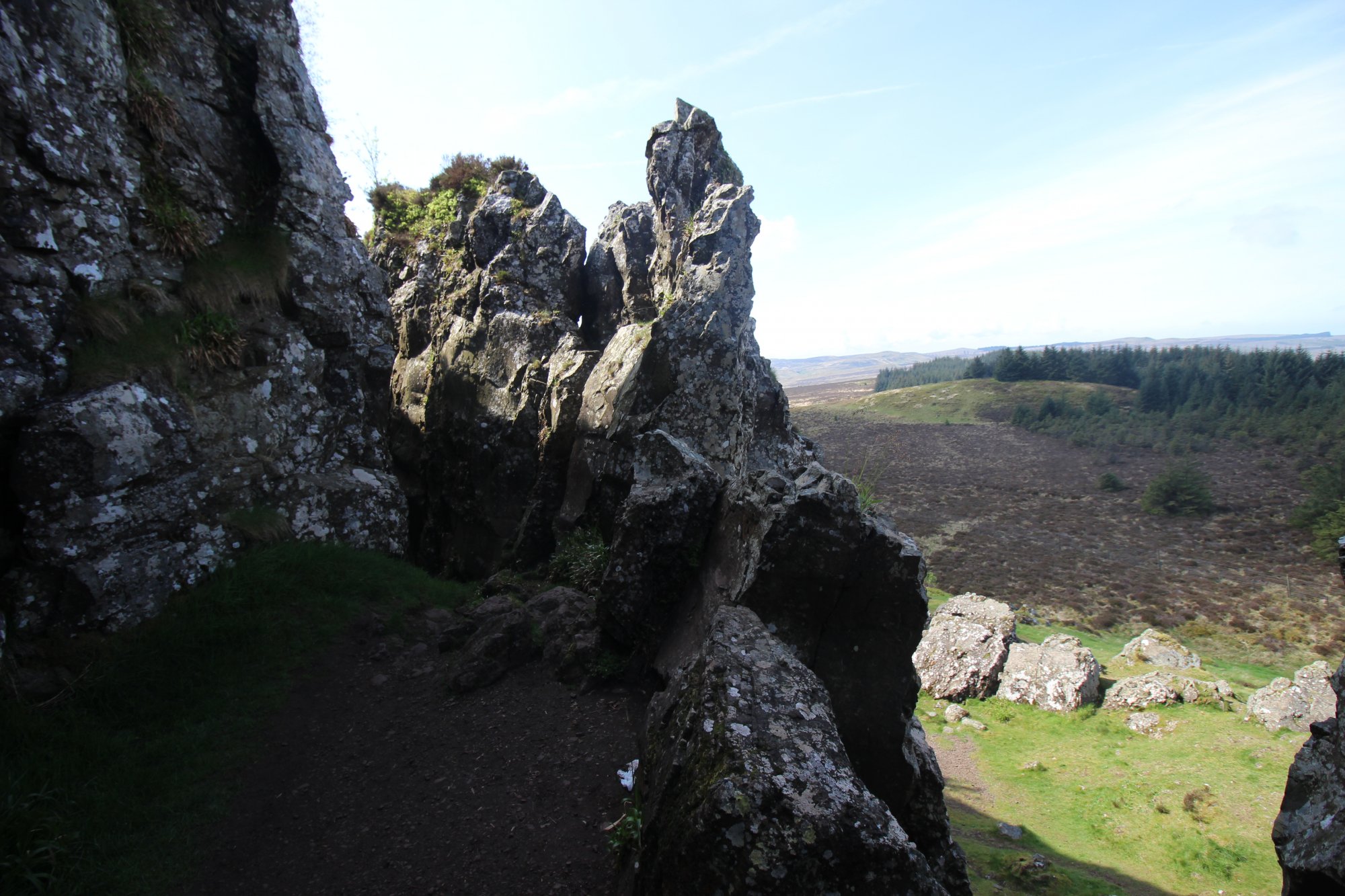
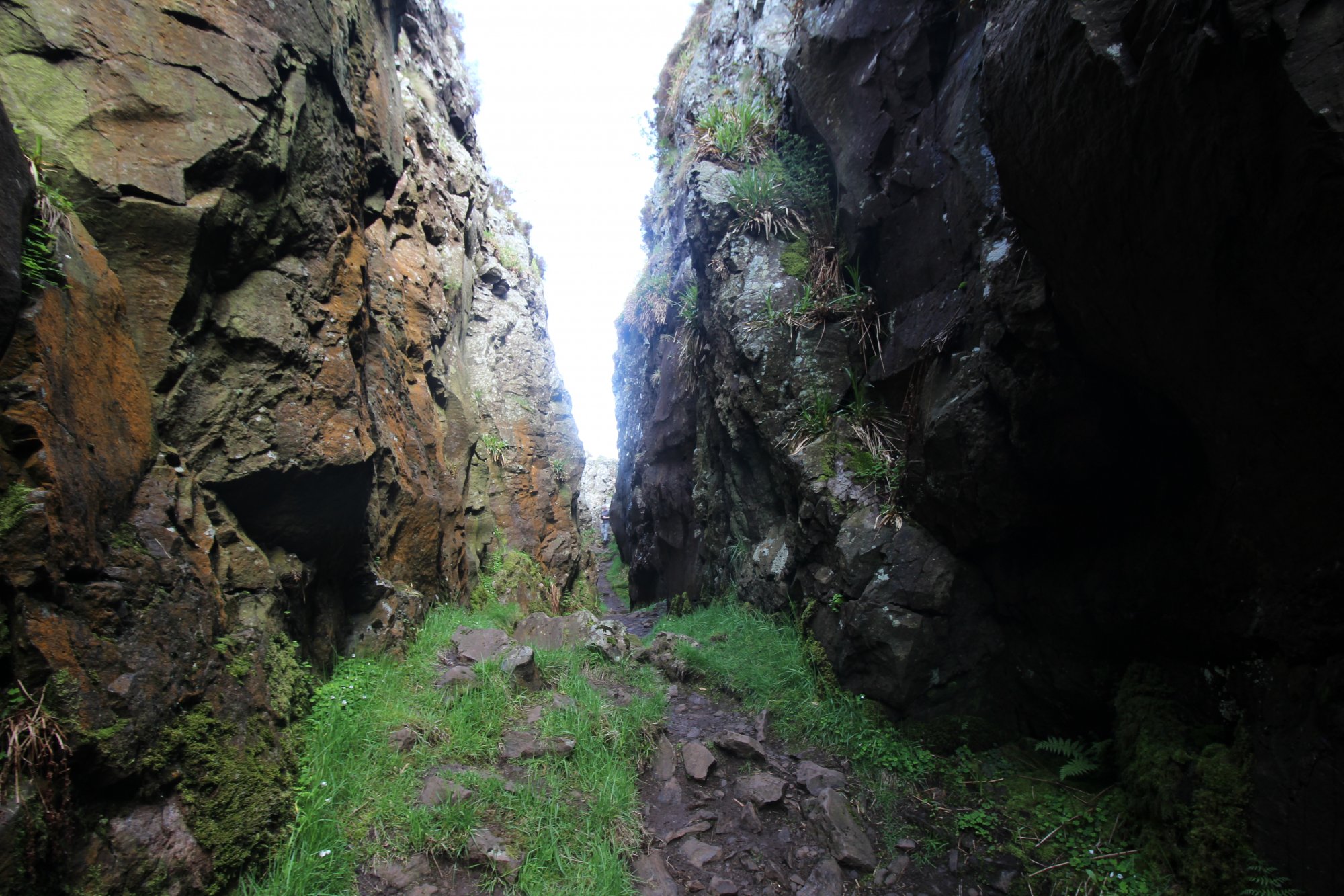
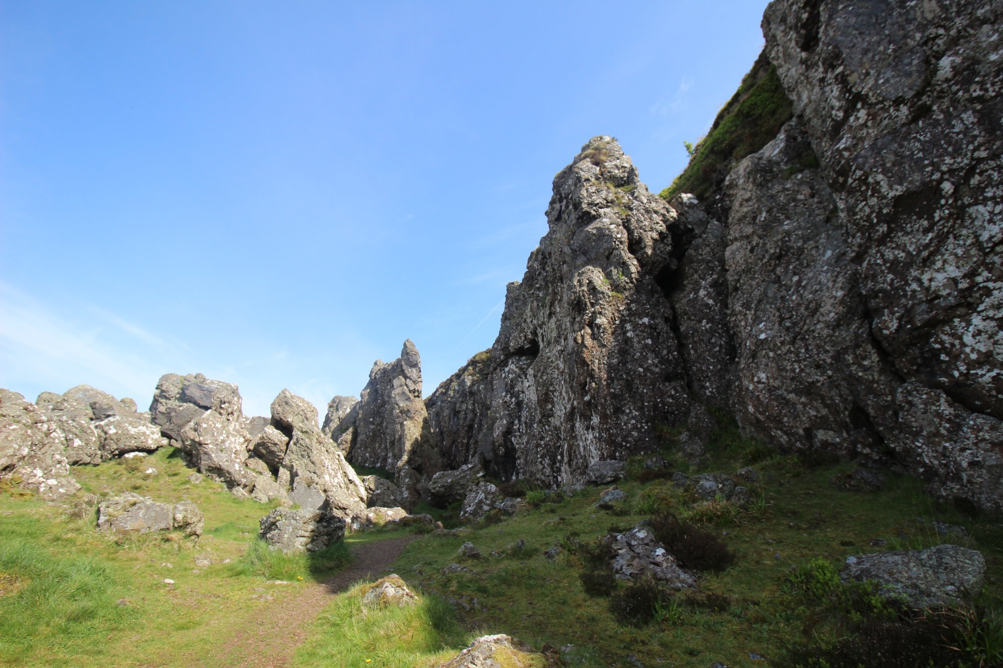
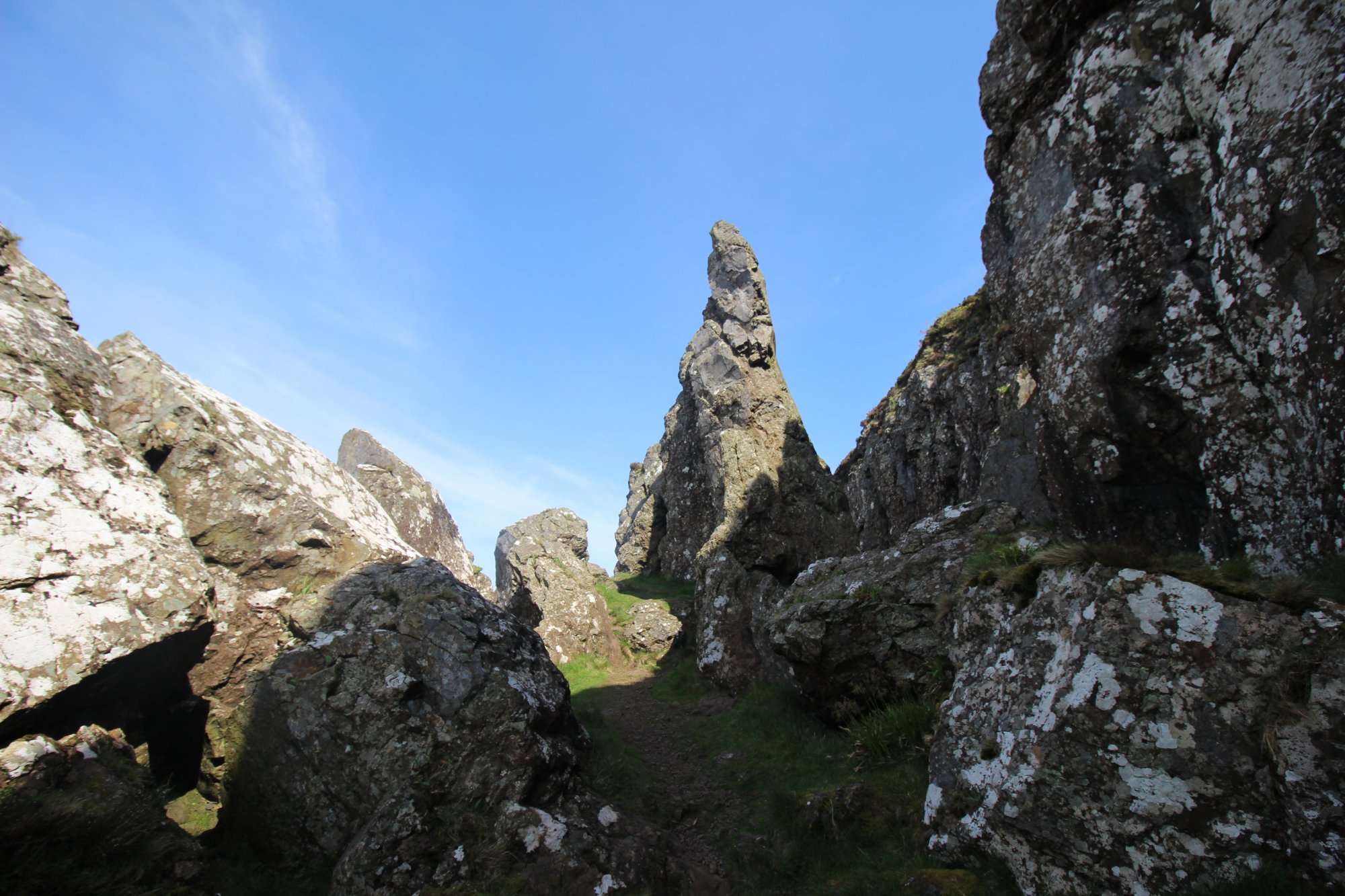
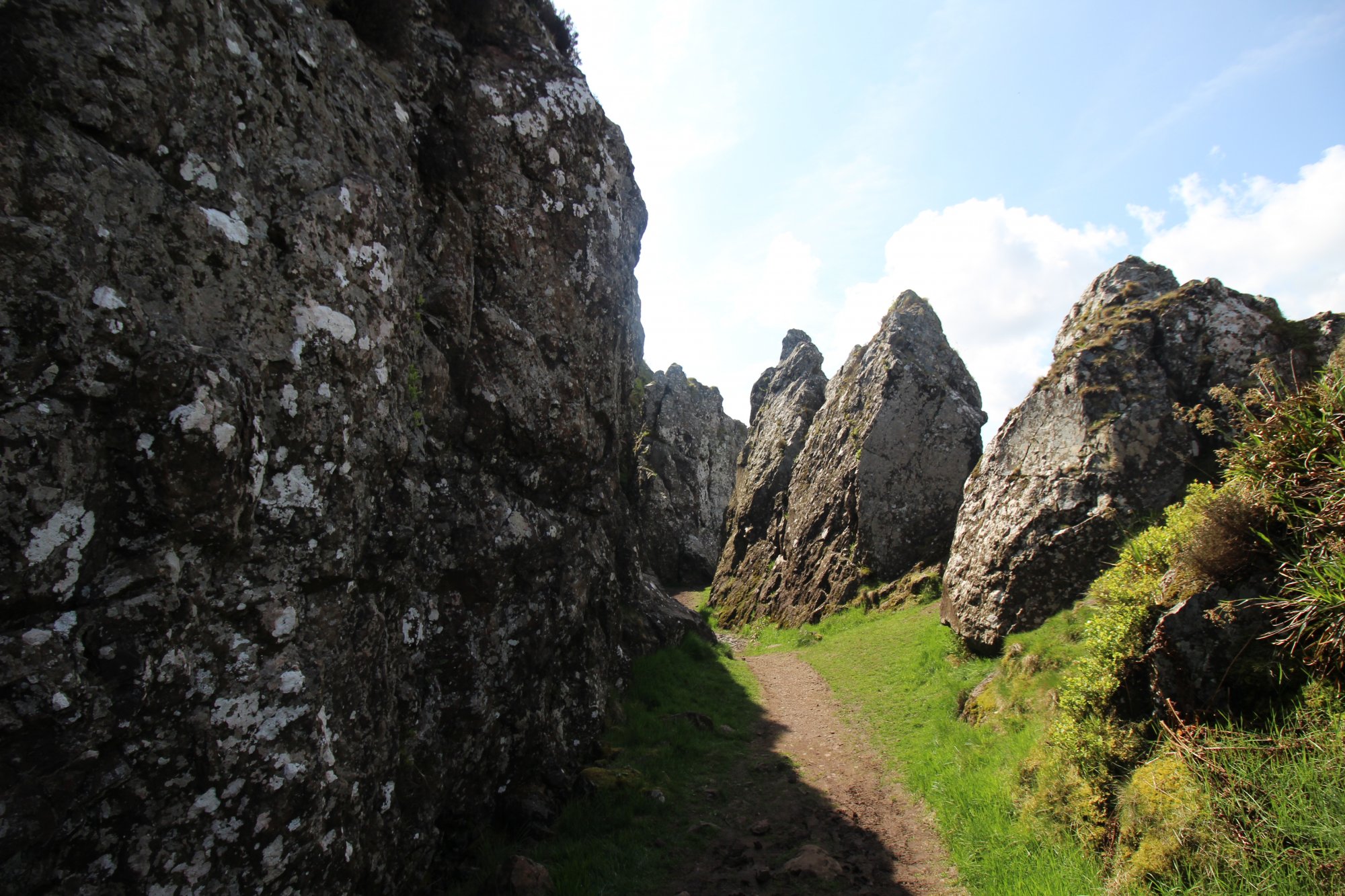
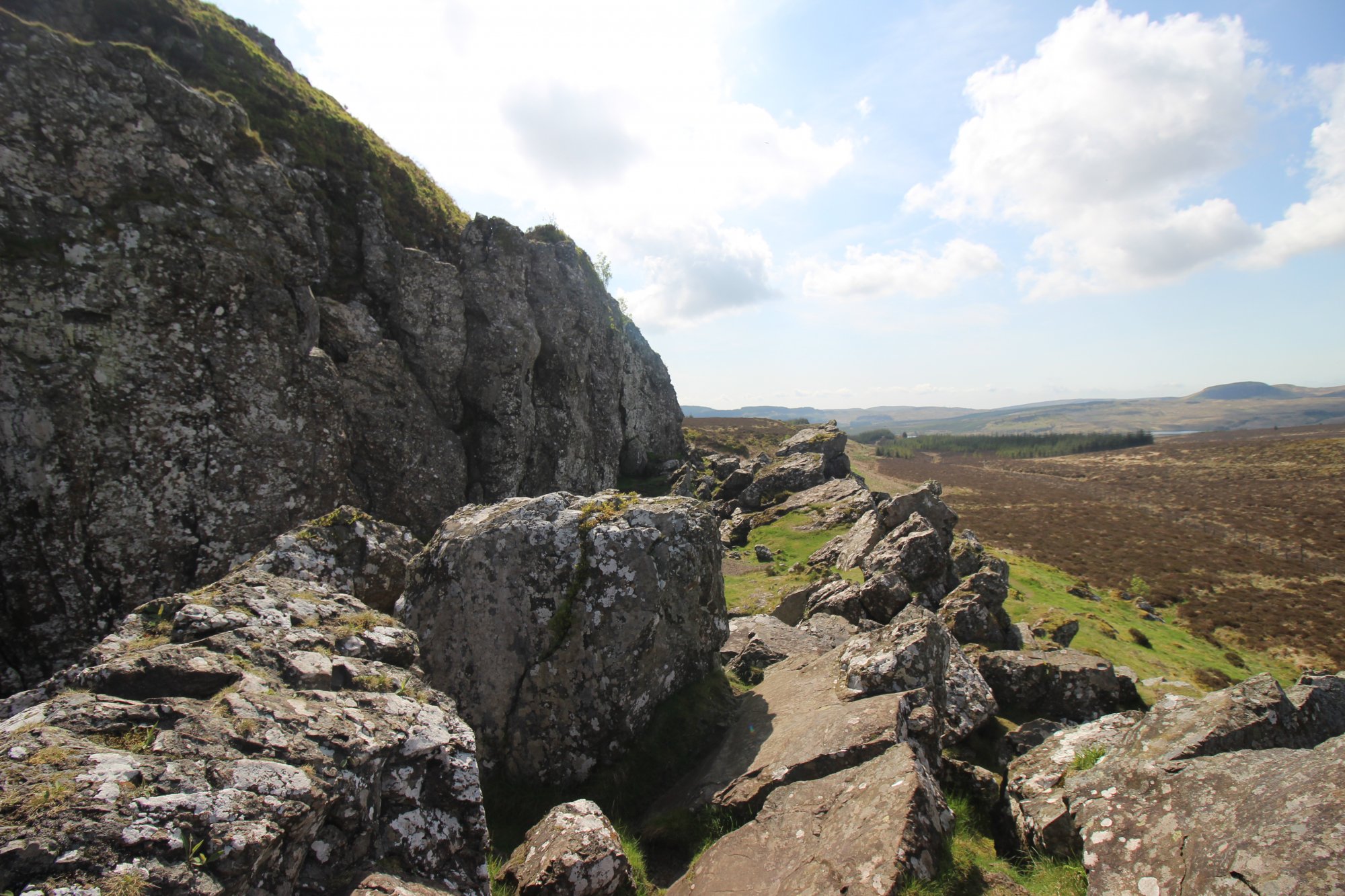
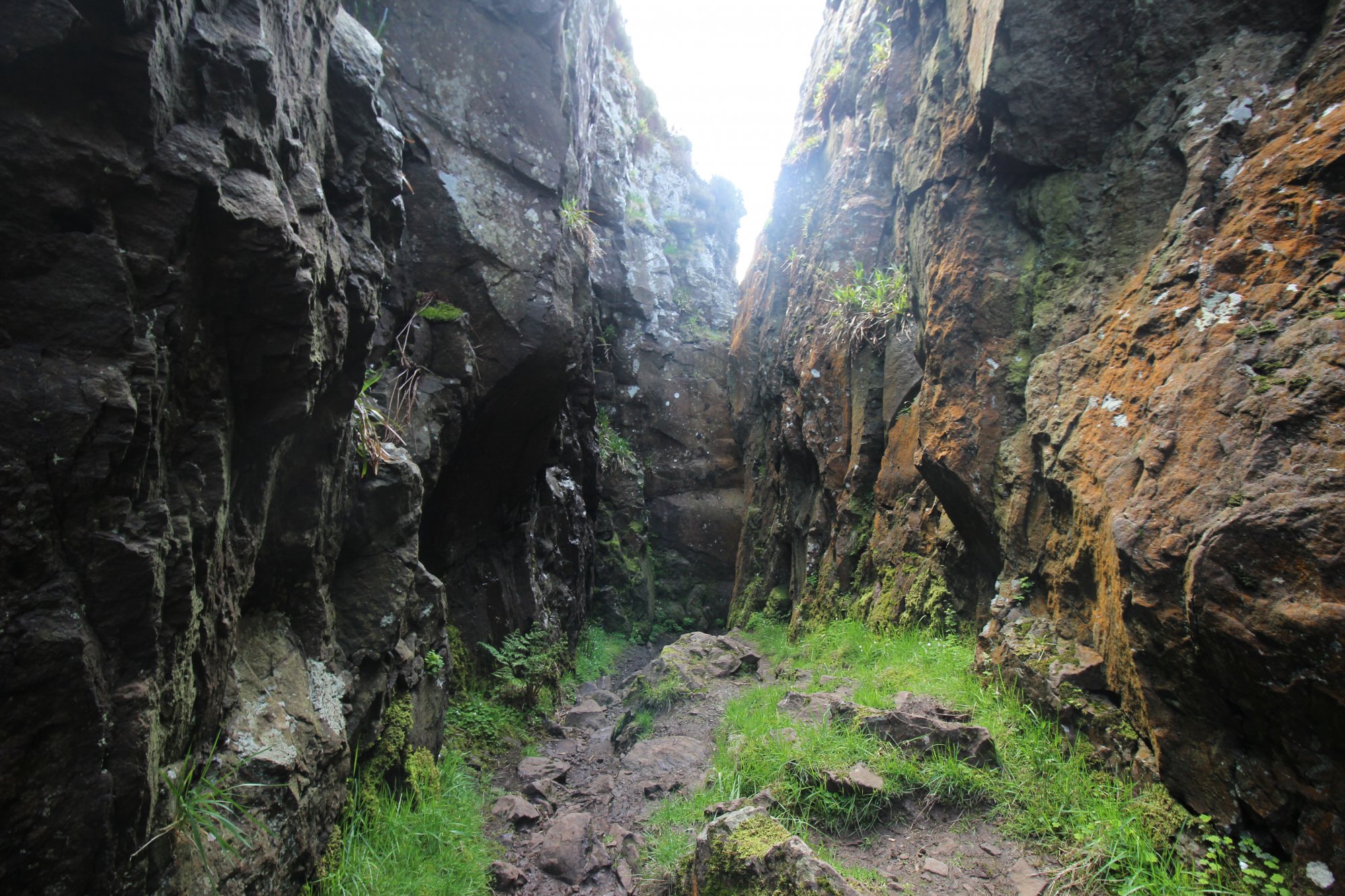
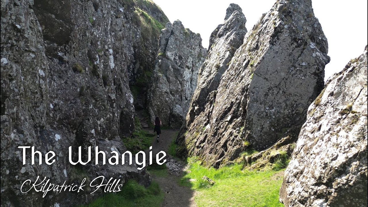
Situated on the southwestern flank of the Kilpatrick Hills, overlooking the lowland basin of the River Clyde, The Whangie is a distinctive, narrow rock chasm that stands as one of Scotland’s most singular geological features. While popular folklore attributes the formation to the strike of a devil’s tail, the scientific reality is a complex study in rotational landsliding. The site consists of a $100 ext{-meter}$ ($328 ext{-foot}$) long passage created by the separation of a large block of Carboniferous lavas from the main cliff face, leaving behind a deep, corridor-like fissure. This unique feature attracts geologists, wilderness walkers, and rock climbers to the high-moors of West Dunbartonshire, offering a strategic vantage point across the Campsie Fells, Loch Lomond, and the Highland Boundary Fault.
The Structural Blueprint: Rotational Landsliding and Bedrock Displacement
The Whangie is not a product of glacial erosion, but rather of post-glacial mass wasting—the movement of rock mass down a slope under the influence of gravity:
- Rotational Landslide Mechanics: The Whangie was formed when a massive slice of volcanic basalt, resting on softer, water-saturated sedimentary rock (tuff), began to slide downslope. As the sedimentary base became plasticized by water infiltration, the overlying basalt slab tilted and pulled away from the main ridge. This created the distinct "slice" or "gap"—the term "Whangie" being a Scots colloquialism for a slice.
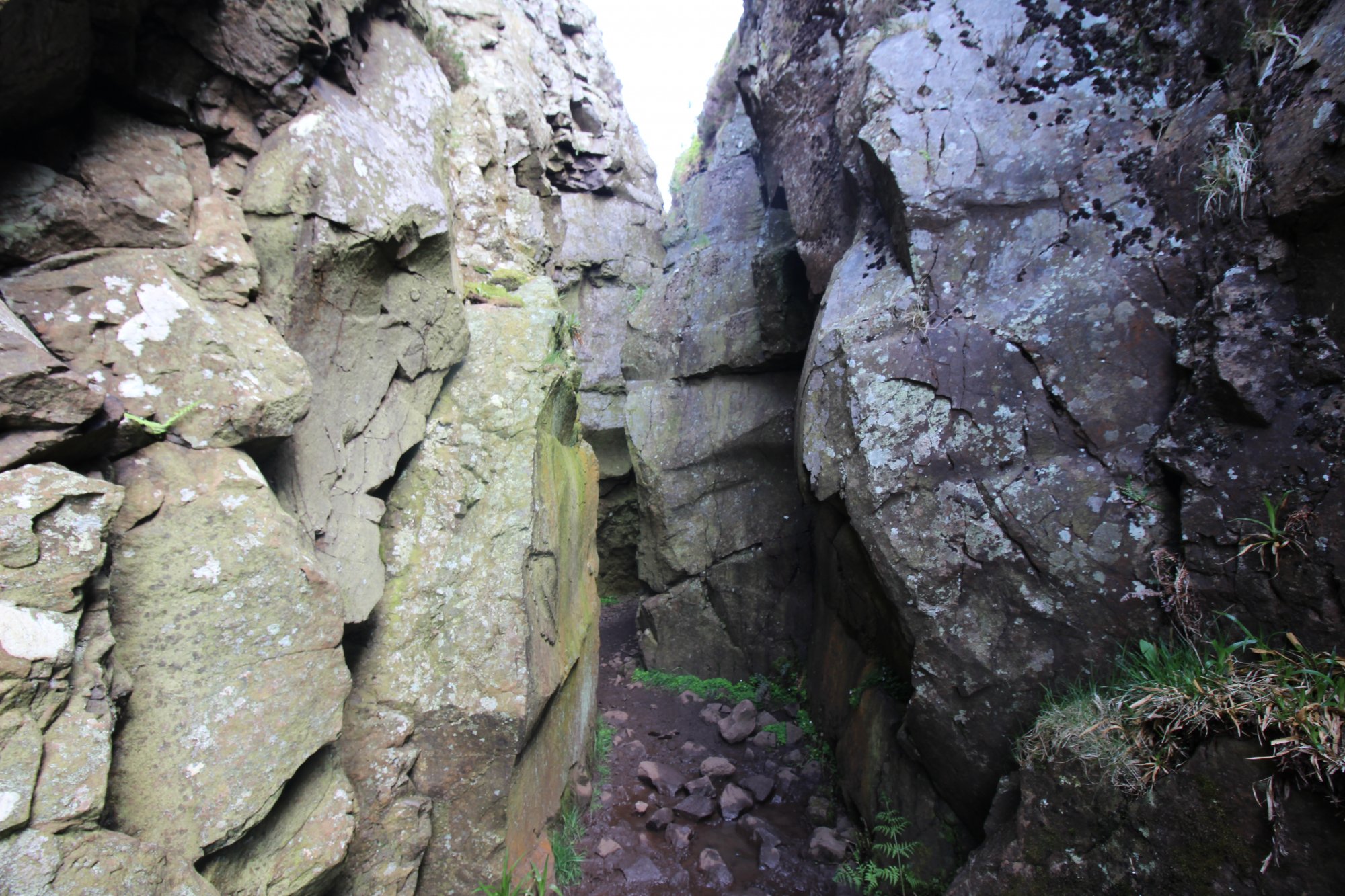
- Dimensions and Physical Geometry: The chasm maintains a consistent depth of approximately $10 ext{ meters}$ ($33 ext{ feet}$), with walls that rise sheer and parallel for most of the passage's length. The corridor is narrow enough in places to touch both sides, providing a unique vertical perspective on the layering of ancient lava flows. The floor of the chasm is carpeted in weathered rock debris and organic matter that has accumulated over centuries, providing a sheltered, cool micro-environment that contrasts with the exposed moorland above.
- Topographic Context: The feature is positioned at an elevation that allows for clear line-of-sight toward the Highland Boundary Fault—the major tectonic division separating the Lowlands from the Highlands. This positioning provides a functional visual reference for understanding the broader structural geology of Scotland.
The Trail Blueprint: Ascent Logistics and Moorland Navigation
Accessing The Whangie requires self-sufficient navigation through the Kilpatrick Hills, a landscape that shifts rapidly from managed forestry to exposed, high-altitude moorland:
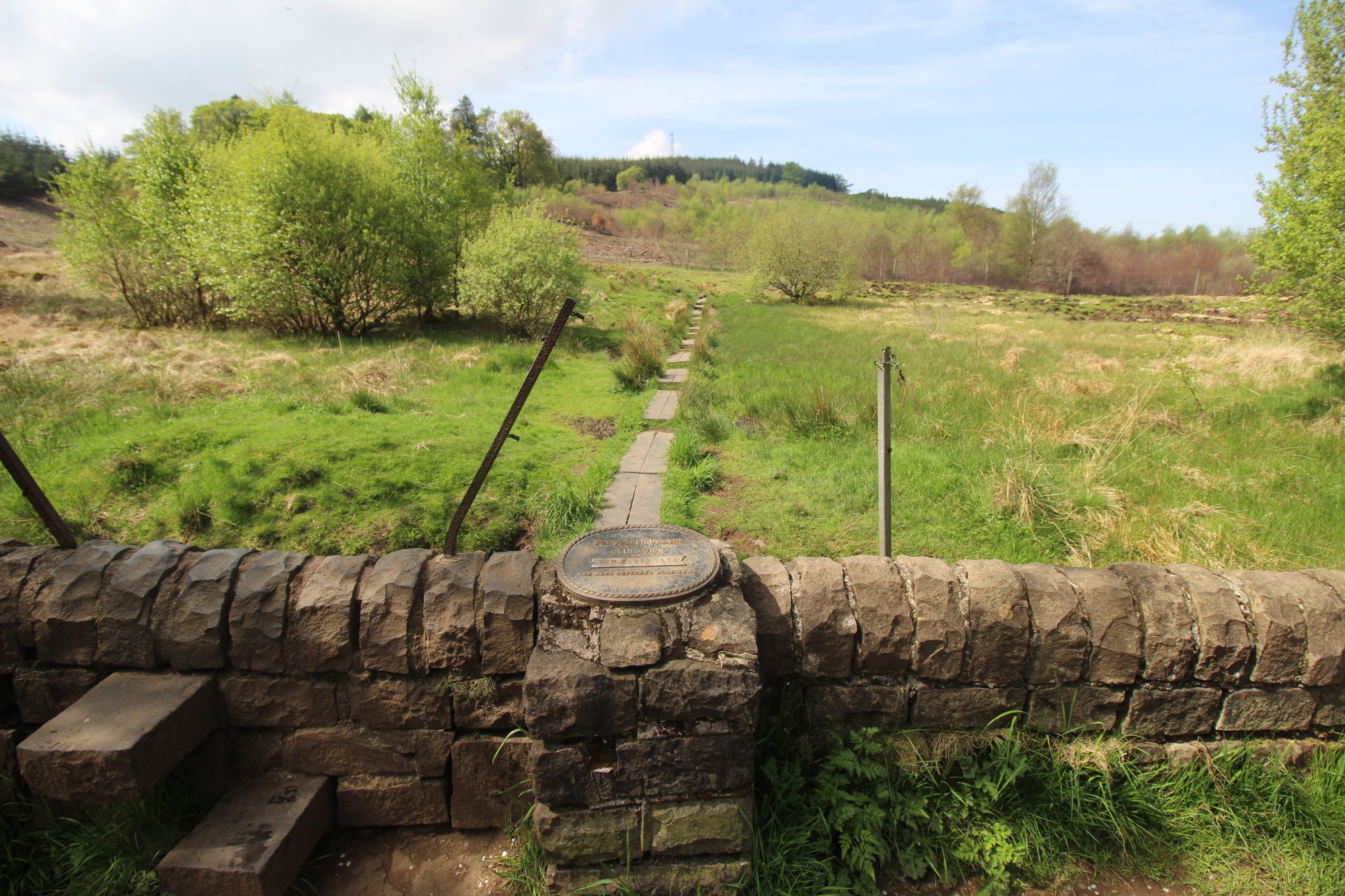
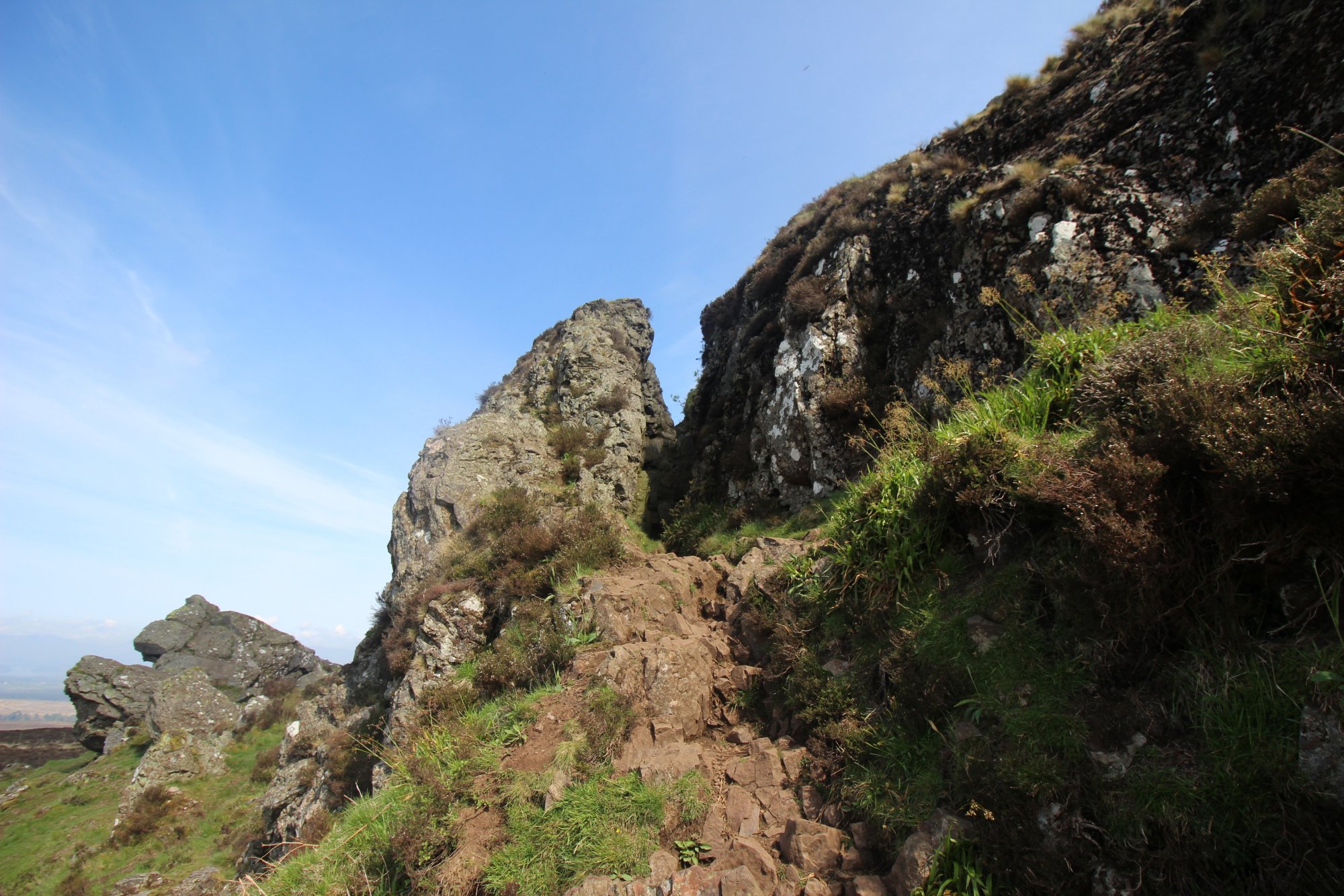
- Path Mechanics and Surface Integrity: The trail originates from the Queen’s View car park and traverses open grazing land before ascending to the escarpment. The surface is highly prone to waterlogging; the combination of high-density rainfall and heavy footfall creates deep, peat-based mud that can submerge standard footwear. Navigation relies on established but non-engineered paths that require constant vigilance, especially during the descent, where rock-slip is a constant hazard.
- Ascent and Exposure Parameters: The ascent to the ridge is moderate but continuous. Hikers must be prepared for extreme wind exposure at the summit plateau. Once at the escarpment, the ridge is open and lacks any natural windbreak, necessitating high-specification windproof and waterproof layering regardless of low-land weather reports.
- Wildlife and Botanical Sensitivity: The Kilpatrick Hills moorland is a critical nesting ground for upland bird species, including skylarks and meadow pipits. During the spring nesting season, visitors must strictly adhere to trail boundaries to prevent the accidental trampling of ground-nesting birds. The fragile alpine flora within the Whangie chasm is also prone to destruction; rock climbing on the walls of the chasm is discouraged to preserve the delicate lichen and moss colonies that occupy the vertical surfaces.
Environmental Hazards and Visitor Safety
The Kilpatrick Hills environment is a variable high-moorland zone where atmospheric stability can change within a single movement cycle:
- Navigation in Low-Visibility Cycles: The Whangie is located on a high plateau that frequently experiences dense, low-hanging cloud cover. When visibility drops, the featureless expanse of the Kilpatrick moorland makes navigation extremely difficult. Traditional magnetic compasses and physical topographical maps are essential, as relying on GPS signals alone is risky when the ridge shadows interfere with satellite connectivity.
- Rock-Fall and Structural Instability: While the Whangie walls are generally stable, they are composed of fractured, weathered basalt. Freeze-thaw cycles continue to cause localized rockfalls, particularly during the transition from winter to spring. Hikers should avoid standing directly beneath overhangs or loose sections of the wall.
- Staging and Parking Logistics: The Queen's View car park is the primary staging area for this region. This facility is frequently over-capacity during peak periods. Visitors are warned against parking on the adjacent narrow road network, as this restricts emergency access and agricultural transport. Maintaining the integrity of the staging area is vital for the continued access rights provided by the local estate management.