




The Cliffside Stairway of Caithness: Engineering, Herring Logistics, and Geomorphology of Whaligoe Steps
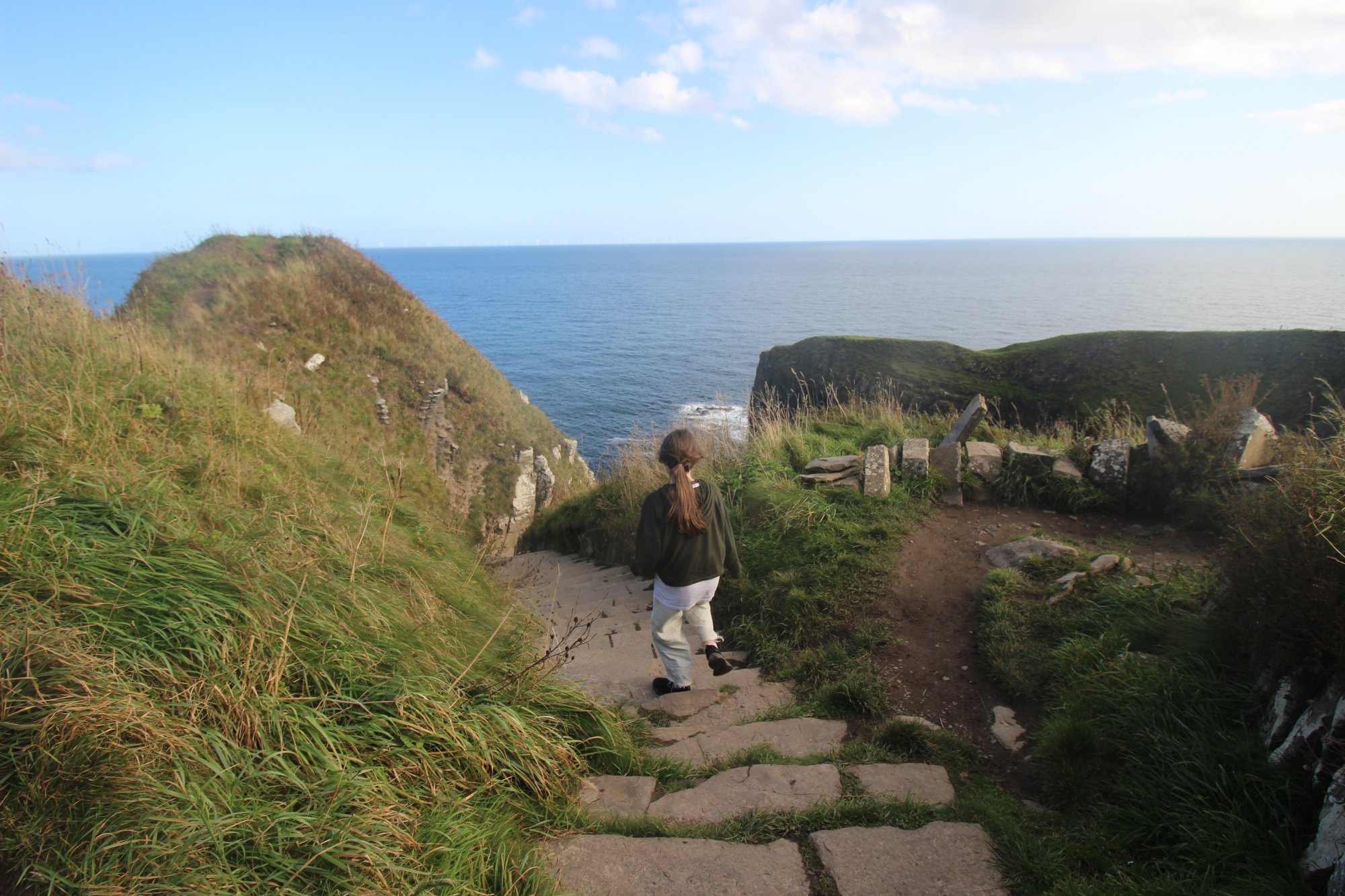
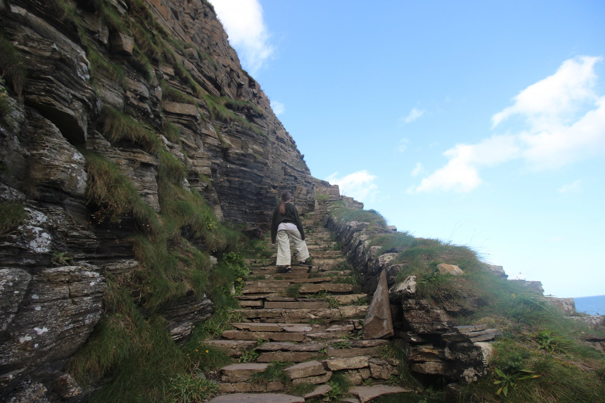
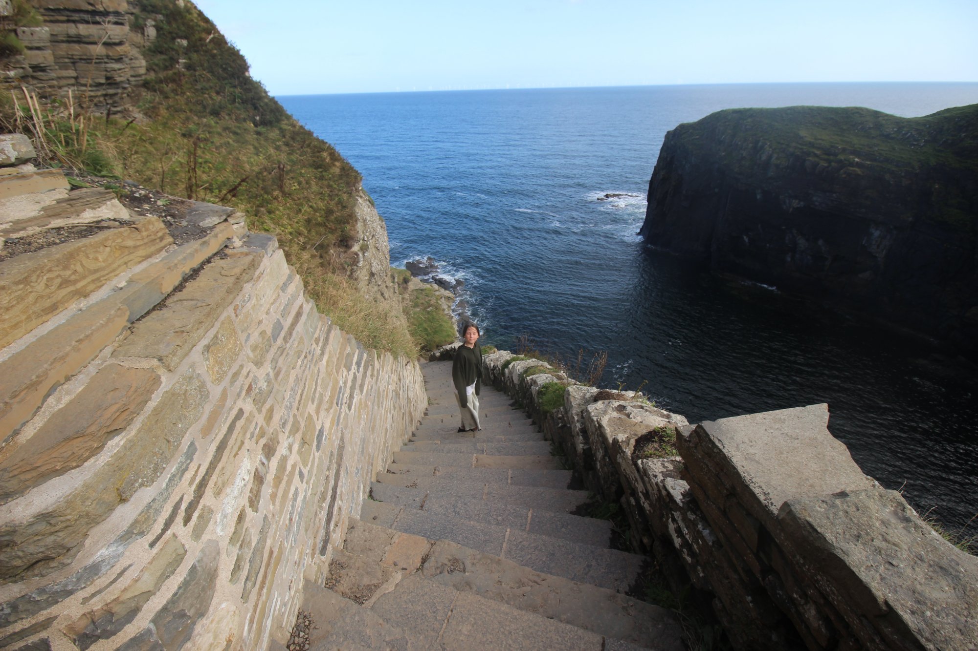
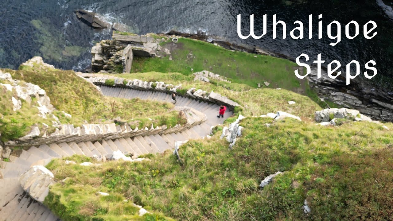
Carved into the sheer, precipitous limestone and sandstone cliffs of the northeastern Scottish coastline, Whaligoe Steps stand as a monumental feat of eighteenth-century dry-stone construction. Located in the historical county of Caithness, south of the town of Wick and near the village of Ulbster, this coastal feature consists of exactly three hundred and sixty-five man-made steps zigzagging down a near-vertical cliff face to a secluded, natural rocky inlet below. Originally developed during the last quarter of the eighteenth century, this sheltered geo functioned as a remarkably active, albeit geographically perilous, fishing port. Today, the steps represent a significant cultural and historical waypoint along the eastern corridor of the North Coast 500 (NC500) route, offering independent coastal hikers, maritime historians, and geomorphology enthusiasts an unparalleled encounter with industrial heritage and raw marine forces.
The Structural Blueprint: Dry-Stone Engineering and Maritime Economics
The physical infrastructure of Whaligoe Steps was driven by the rigorous demands of the nineteenth-century Scottish whitefish and herring fisheries, transforming a naturally inaccessible chasm into a functional industrial asset:
- The Three Hundred and Sixty-Five Steps: Constructed circa 1792 by local landowner Captain David Brodie, the stairway was engineered to provide pedestrian access to the water's edge at the base of the $250 ext{-foot}$ ($76 ext{-meter}$) cliffs. The steps are built directly into the terraced rock strata using local flagstone, requiring continuous maintenance and resetting of the stones to counteract freeze-thaw weathering and sea-spray erosion.
- The Herring Station Logistics: During the height of the regional fishing boom in the early to mid-nineteenth century, this natural harbor supported an operational fleet of up to fourteen small, open fishing boats (farls). Because the geo is enclosed on three sides by towering vertical walls, all caught marine life—primarily herring and cod—had to be physically hauled up the cliff face. Fishwives and laborers carried heavy creels of fish strapped to their backs up the entire $365 ext{-step}$ incline to be transported to regional markets.
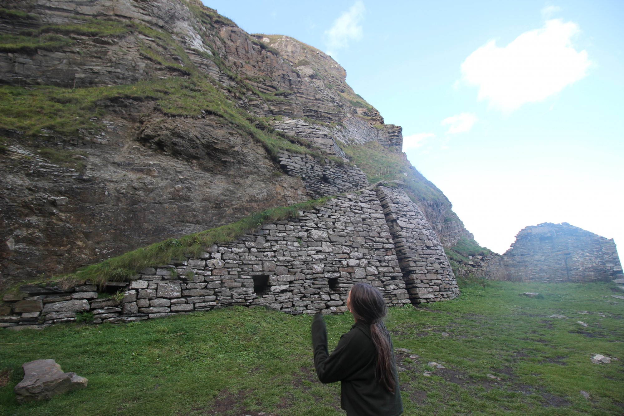
- Curing and Cargo Operations: The harbor infrastructure included basic stone platforms where fish were gutted, salted, and packed into wooden barrels directly on-site. Larger cargo vessels and coastal traders would anchor offshore or tie up directly to iron rings anchored into the rocks, taking on the preserved barrels for transport to mainland Scottish ports and international markets.
The Geomorphological Blueprint: The Caithness Geo and Associated Hydrology
The unique environment of Whaligoe is a product of specific wave-cut erosion and tectonic fault lines along the Caithness coast:
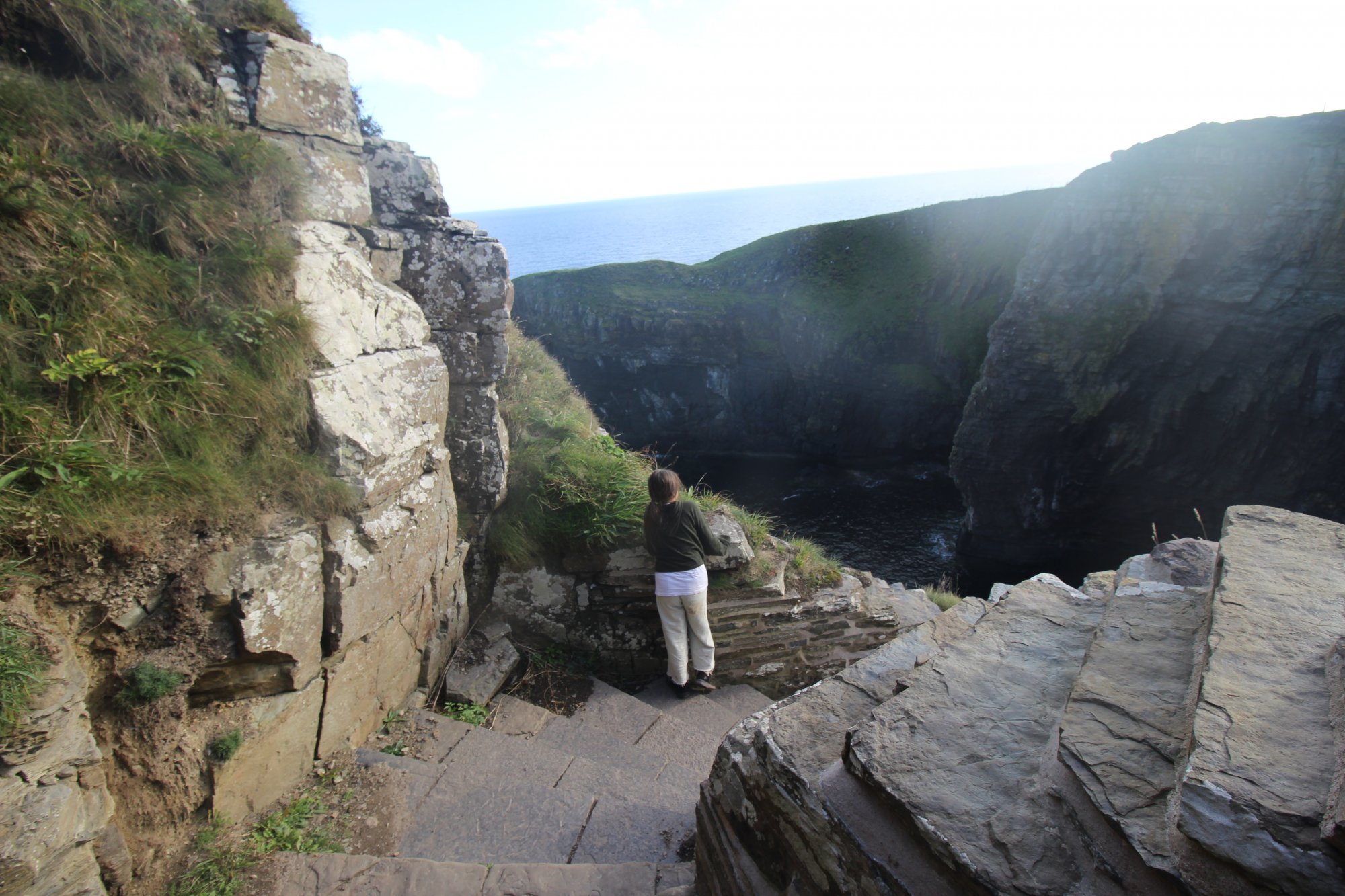
- The Natural Geo Formation: A "geo" is a steep-sided, narrow inlet formed where marine erosion has exploited a vertical line of weakness—in this case, fault lines within the Old Red Sandstone bedrock. The Whaligoe geo acts as a natural breakwater, absorbing much of the oceanic energy, yet remaining susceptible to severe wave surges during northeasterly gales.
- Ravine Waterfalls and Drainage: On the opposing side of the coastal promontory, a secondary ravine funnels two distinct, small freshwater waterfalls directly down the rock face into the sea. These cascades represent the rapid drainage of the inland peat-moss, discharging high volumes of acidic highland water into the marine ecosystem.
- Intertidal Sea Caves: The base of the cliffs surrounding the dock features a series of deep marine caves formed by wave action. Some of these geological formations are accessible during the lowest ebb tides, revealing complex sedimentary layers and localized marine micro-habitats. However, entering these caves carries significant risk of entrapment by rising tides.
The Trail Blueprint: Access Mechanics and Staging Parameters
Navigating the Whaligoe Steps and the surrounding cliff-top terrain requires strict situational awareness regarding public access and physical exposure:
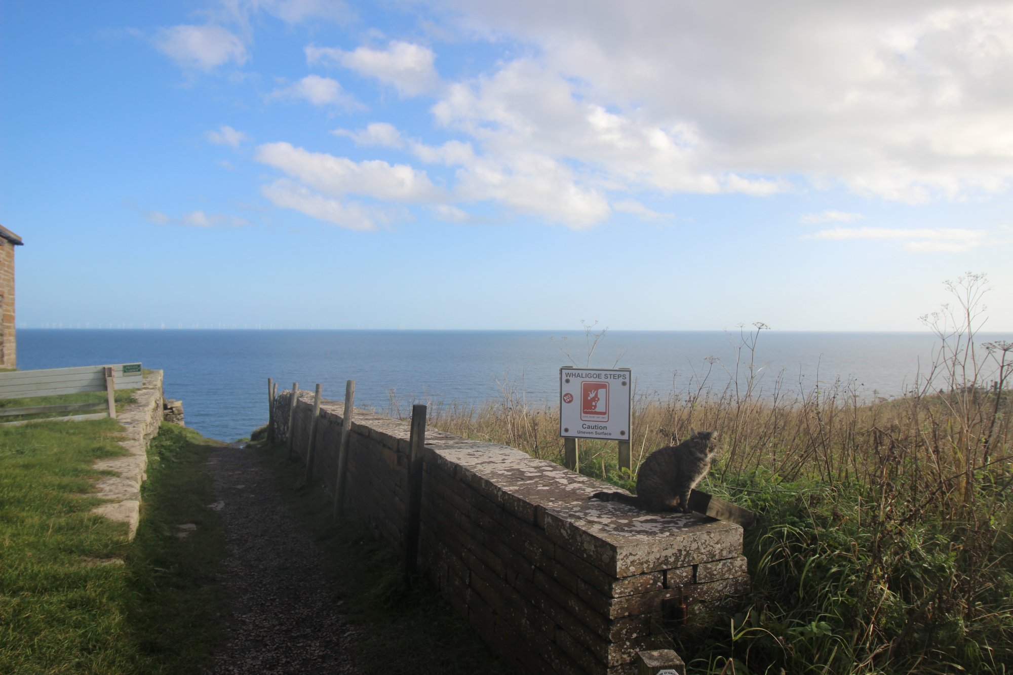
- Cliff-Edge Exposure and Path Stability: The stairway lacks vertical handrails or safety netting across the majority of its descent, demanding secure footing and physical stamina. At the cliff top, un-engineered, informal footpaths branch out toward the extreme edges of the headland. These paths cross highly friable, eroded ground and are subject to severe wind shear; approaching the unfenced drop-offs requires extreme caution.
- Arrival Logistics and A99 Traffic Management: The site is accessed via a dedicated, minor turnoff from the A99 arterial road. The primary staging infrastructure consists of a very compact public roadside car park. Due to the high volume of touring traffic along this section of Caithness, the parking capacity is frequently exceeded. If the lot is full, attempting to park on the verges of the fast A99 carriageway is prohibited due to sightline obstructions and traffic hazards.
- Pedestrian Amenity Realities: The site is maintained as a free-access heritage asset by a dedicated group of local volunteers. Consequently, the staging area does not feature commercial infrastructure, public waste disposal, or restroom facilities. Visitors must plan for a self-sufficient visit and adhere strictly to "Leave No Trace" environmental protocols to preserve the integrity of the flagstone path and surrounding maritime flora.