


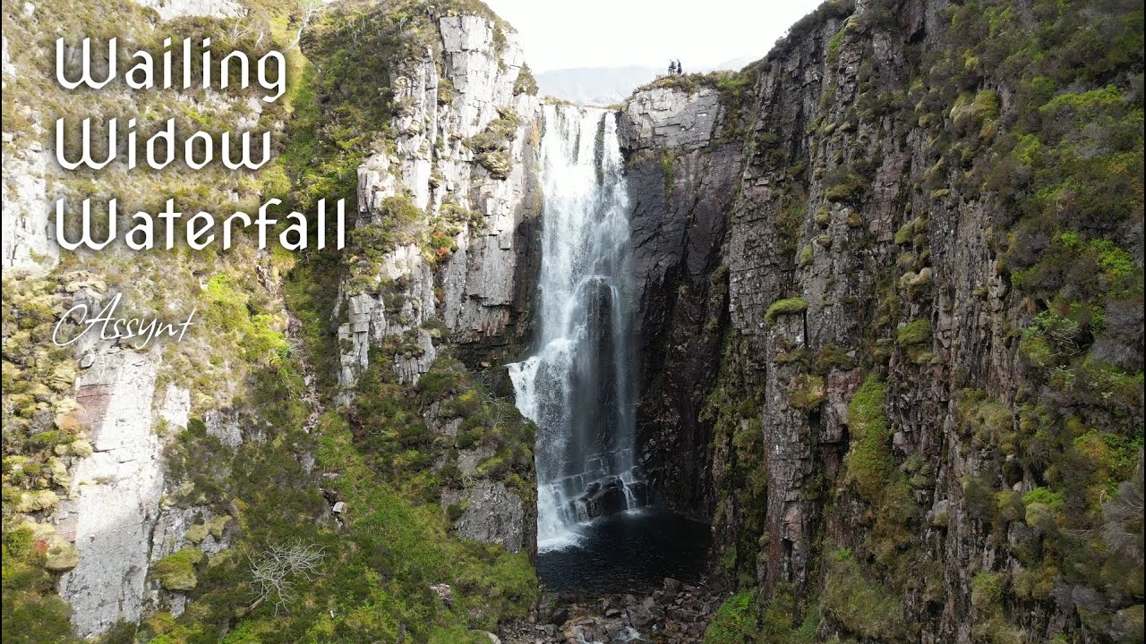

The Gorge of the Sorrowful Sound: Navigating the Hydrology, Geomorphology, and Trail Logistics of Wailing Widow Falls
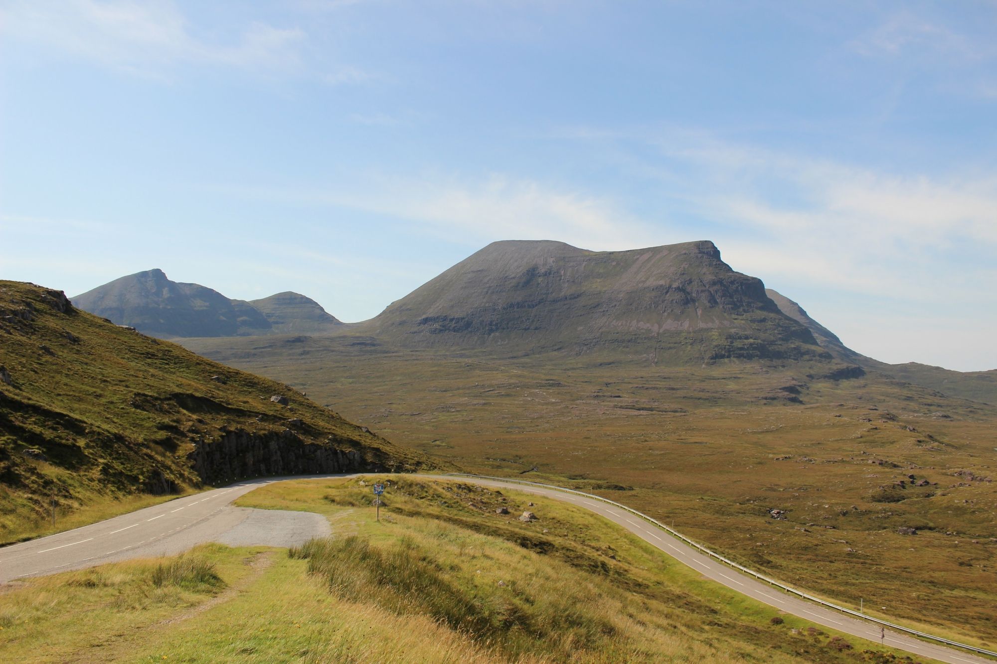
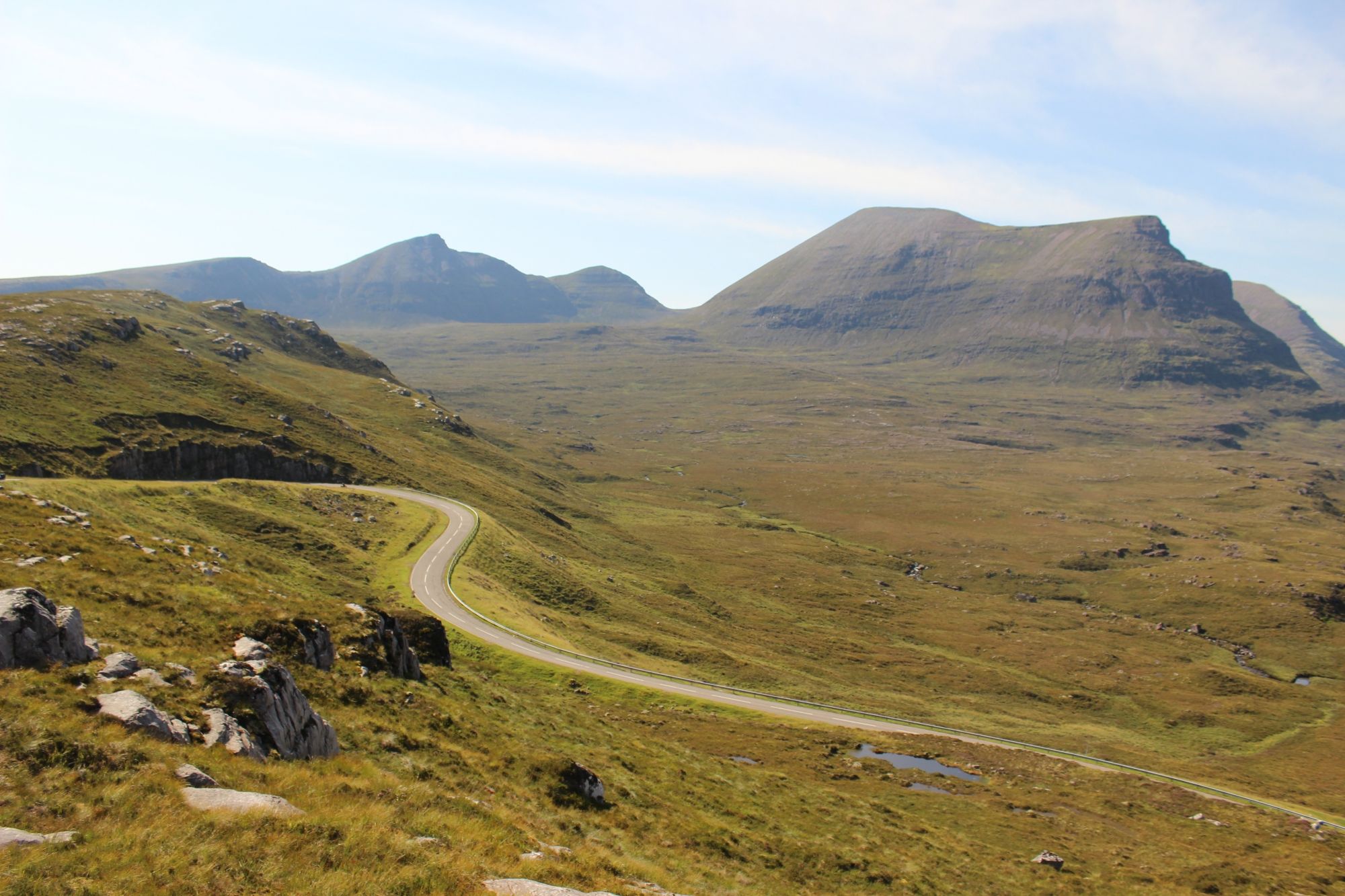
Situated within the ancient, glaciated terrain of the Assynt region, Wailing Widow Falls—recorded in Gaelic as Eas a' Bhealaich—is a prominent waterfall system defined by its dramatic exit from Loch na Gainmhich. Tucked into a sheer-walled gorge beneath the shadow of the mountain Quinag, the waterfall represents a quintessential example of the "knock and lochan" topography that characterizes the Northwest Highlands. Unlike larger, multi-tiered cascades, Wailing Widow is defined by its enclosed, cavernous setting and the specific geological interaction between the Cambrian sandstone plateau and the underlying volcanic rock strata. As a major natural landmark on the North Coast 500 (NC500) arterial route, the site requires precise logistical planning regarding high-traffic staging, hazardous terrain navigation, and hydrological awareness.
The Structural Blueprint: Hydrological Mechanics and Gorge Morphology
The waterfall's visual impact is a product of its specific drainage path and the restrictive geometry of the surrounding gorge:
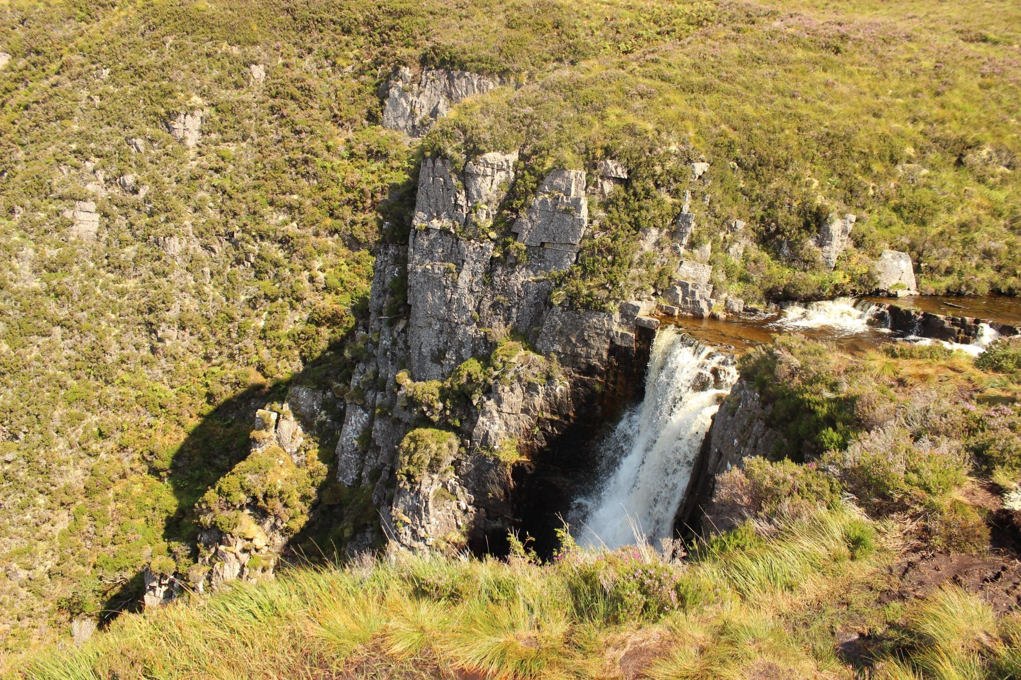
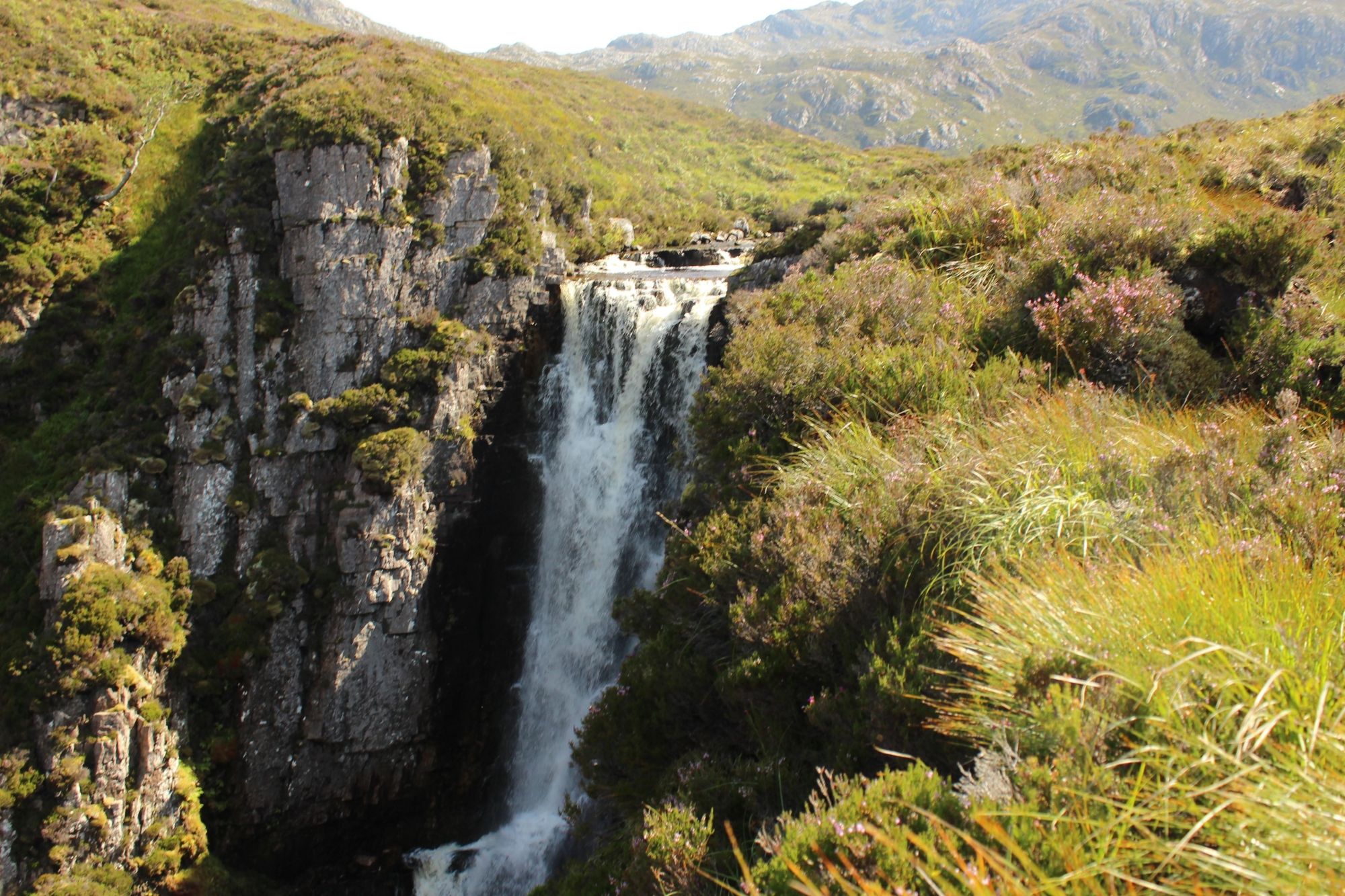
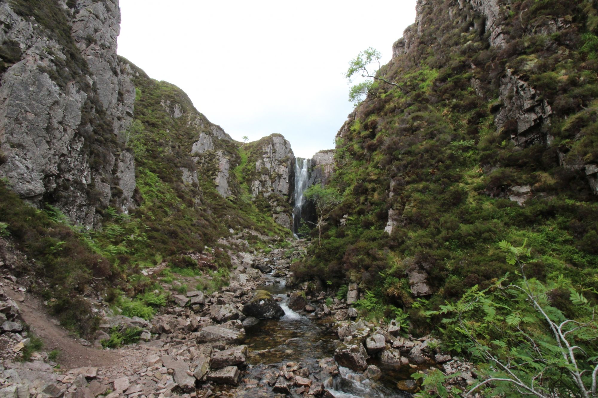
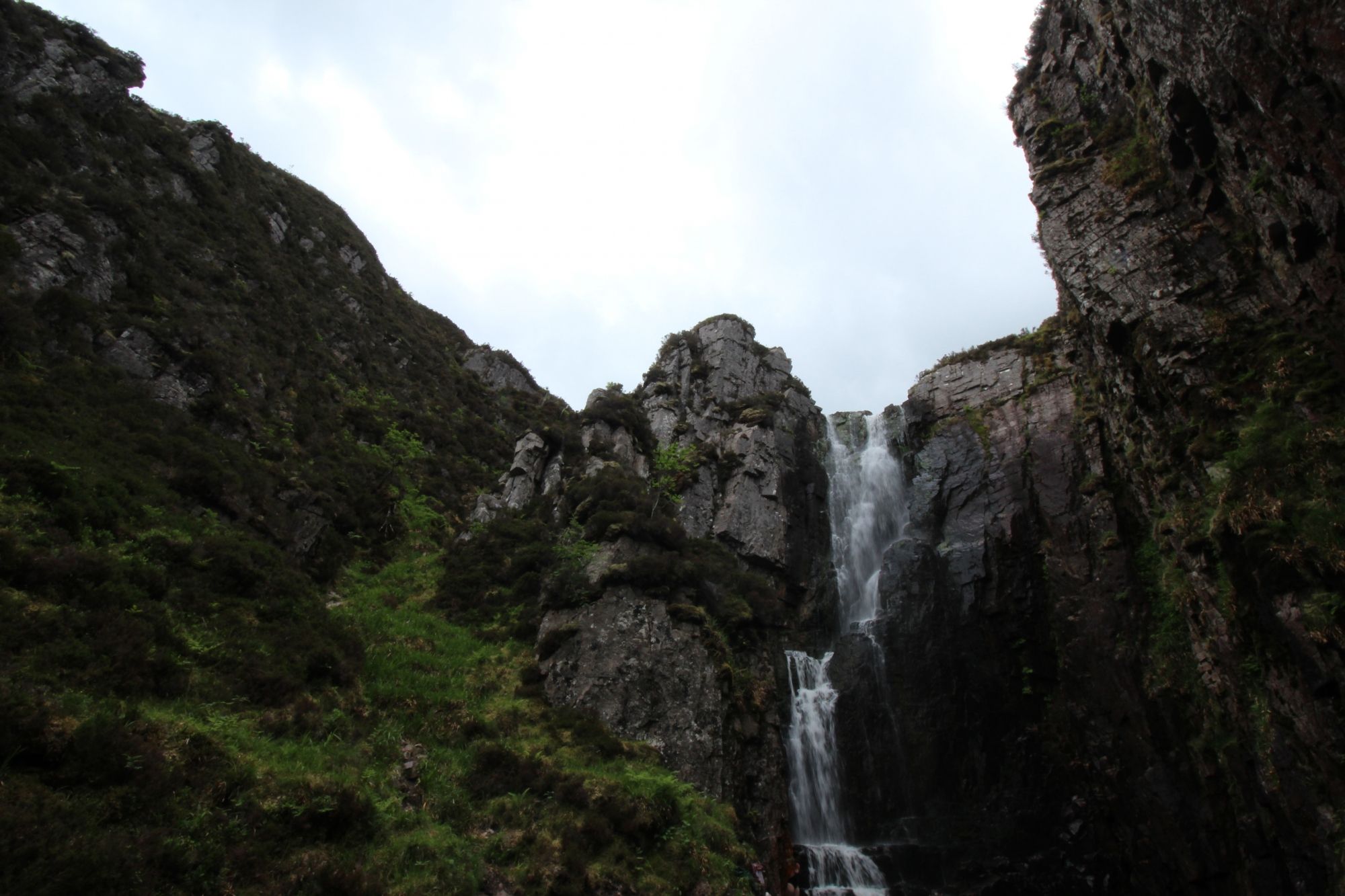
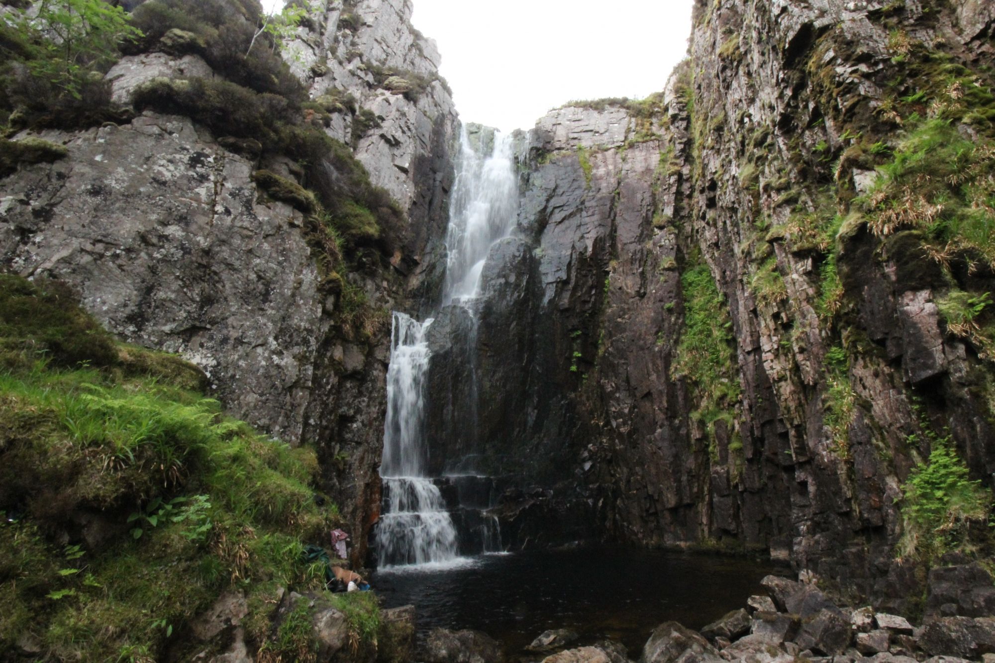
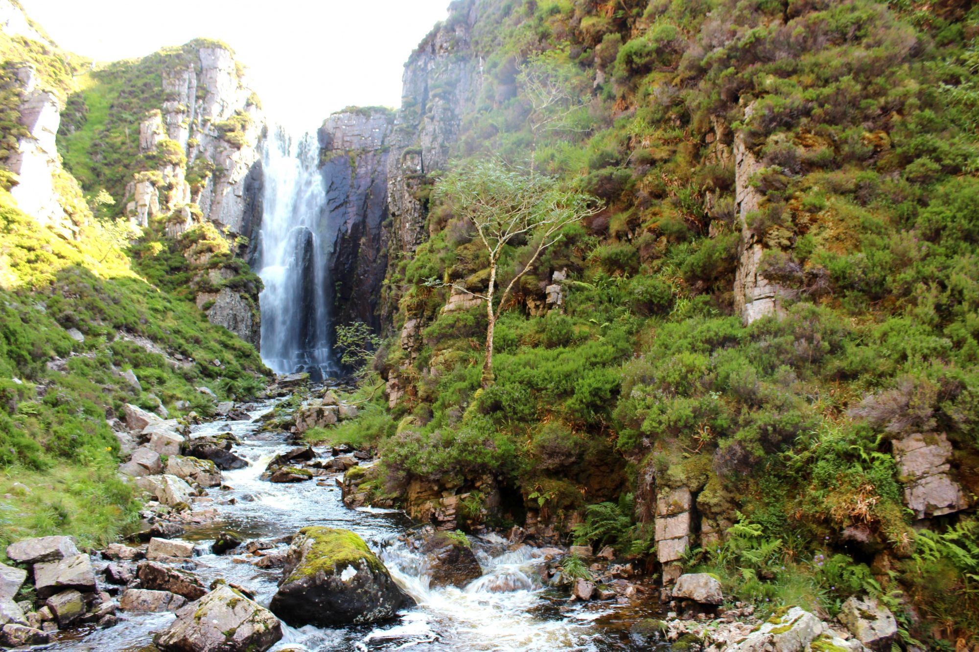
- The Loch na Gainmhich Outflow: The falls function as the primary spillway for Loch na Gainmhich. Because the loch is situated on a plateau, the river’s descent is vertical and immediate, creating a concentrated plume of water that shears off the semicircular cliff edge. The intensity of the cascade is directly proportional to seasonal rainfall across the Quinag massif; during high-saturation periods, the falls expand into a wide, powerful curtain, while in drier months, the flow narrows into a more precise, focused column.
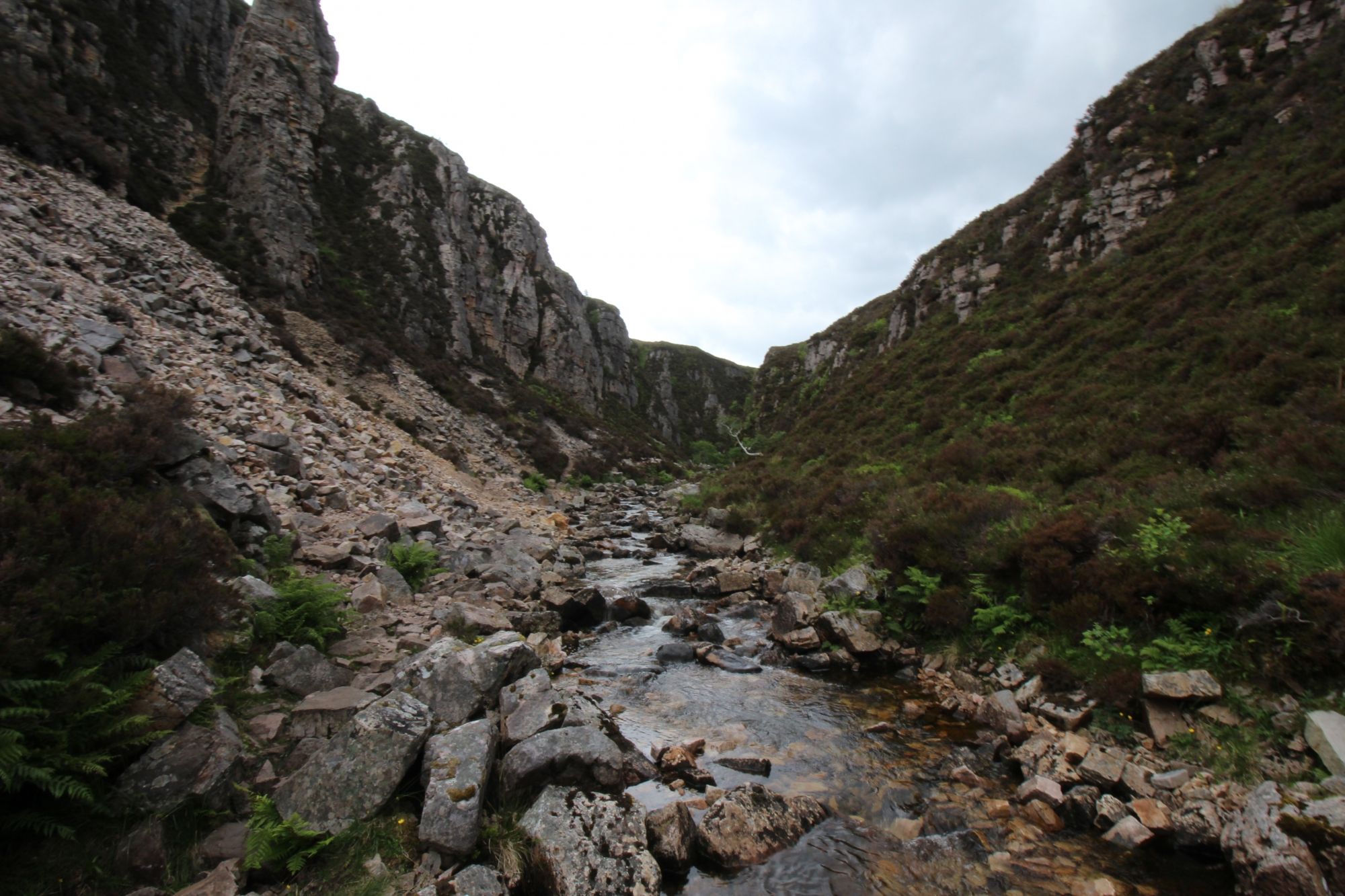
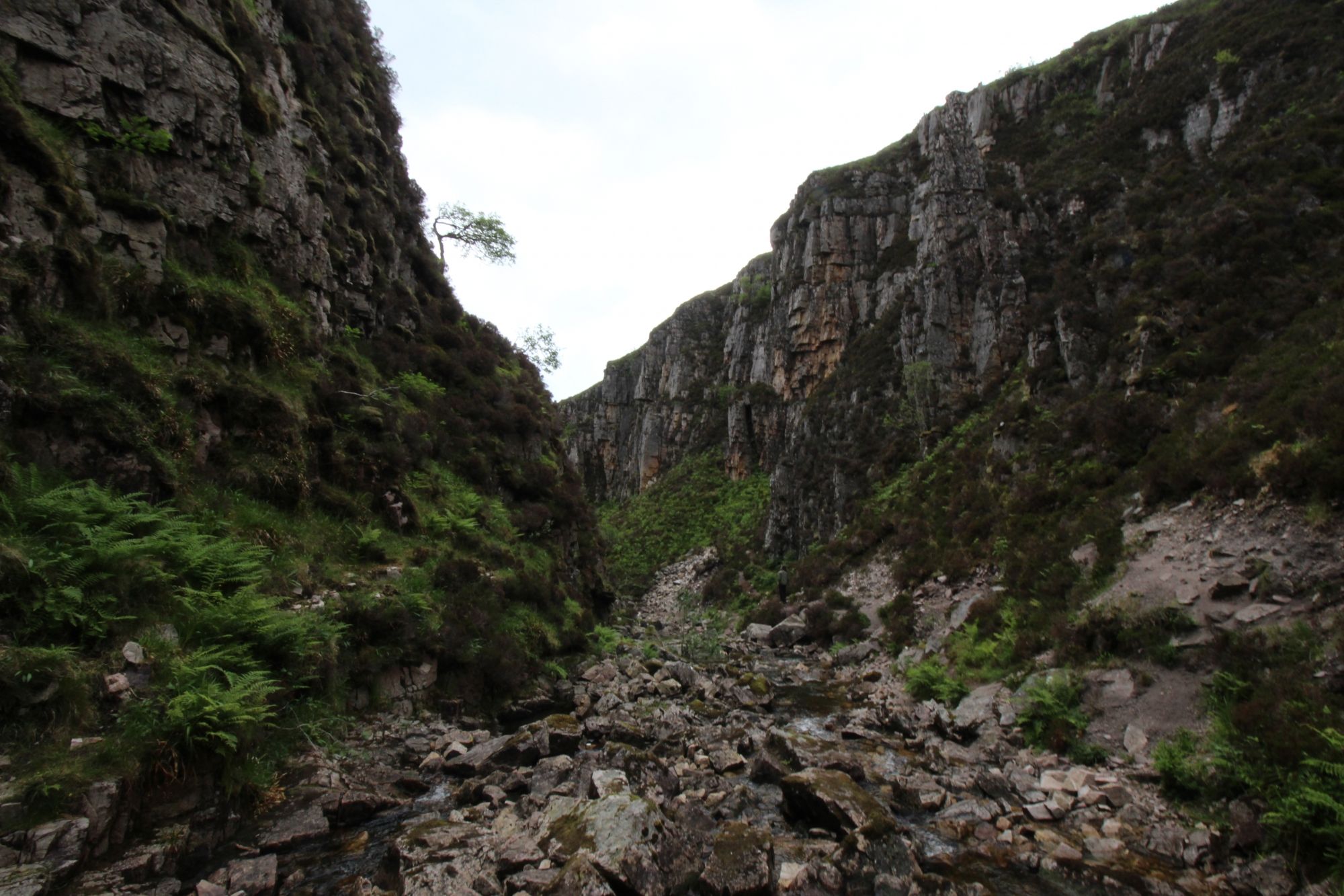
- Gorge Geomorphology: The plunge pool at the base of the falls is a product of hydraulic erosion over millennia. The gorge itself is a "box canyon" feature, where vertical rock walls prevent the dispersion of the water's energy, creating a high-humidity, sheltered micro-climate. This environment supports unique bryophyte and fern colonies that cling to the damp, mineral-rich basaltic and sandstone faces.
- Historical and Folklore Context: The site is culturally identified by local oral histories, which utilize the haunting acoustic properties of the gorge—where wind and water noise amplify in the narrow space—to underpin regional legends. While the "Wailing Widow" folklore provides a narrative layer to the site, the physical reality is a complex acoustic chamber formed by the vertical rock orientation.
The Trail Blueprint: Dual Perspectives and Navigation Parameters
Exploring Wailing Widow requires choosing between two distinct physical environments: the exposed plateau or the enclosed gorge floor.
- The Upper Plateau Route (The Loch Edge): Accessing the falls from above requires navigating a non-maintained, un-engineered track originating from the upper staging area near the loch. This route traverses extreme peat-bog conditions; the ground remains permanently saturated, necessitating high-lug waterproof mountain boots. Hikers are reminded that the cliff edge at the top of the gorge has no protective barriers, and the sheer drop is unstable due to friable rock layers.
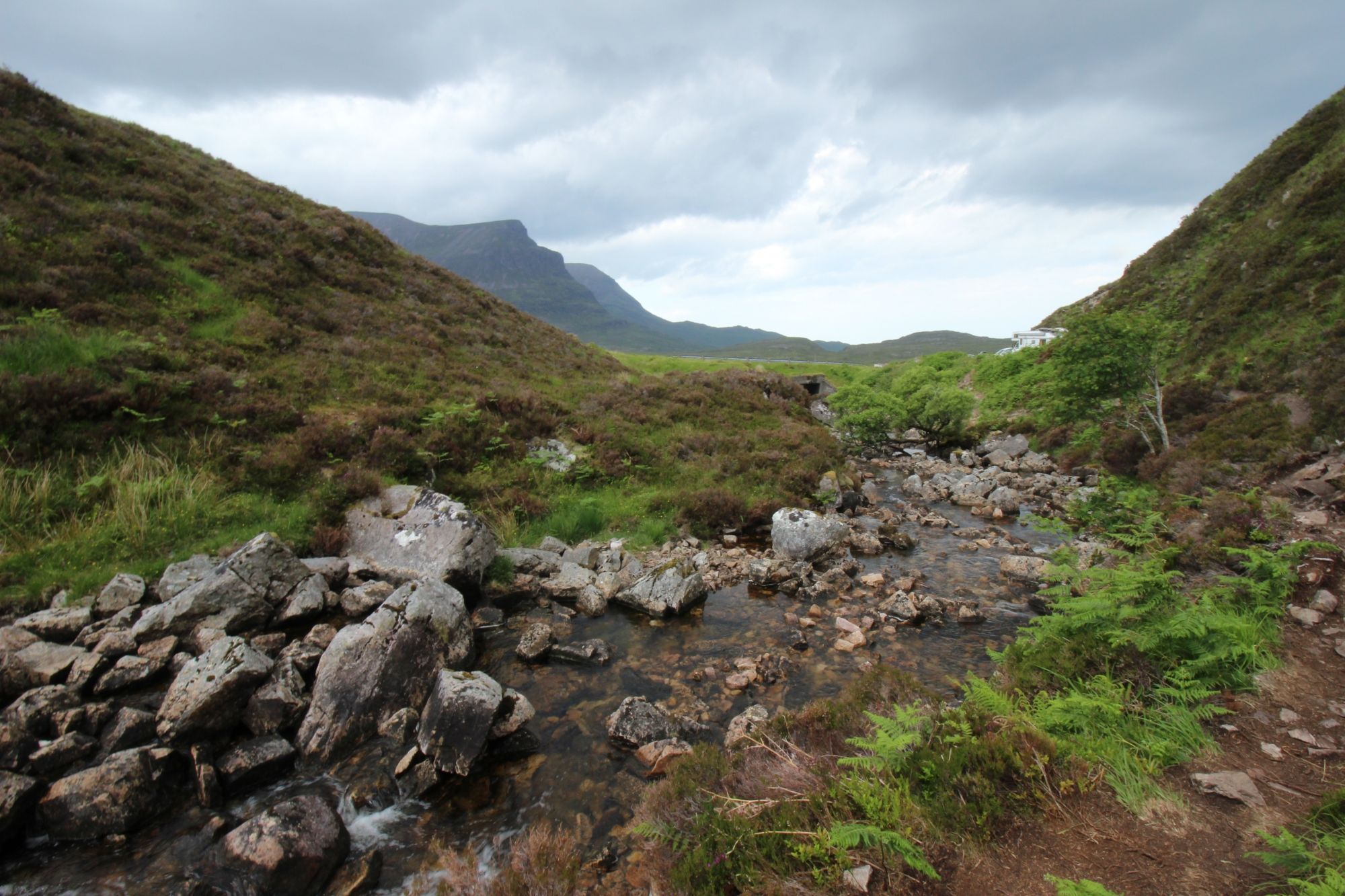
- The Gorge Floor Walk (The Serenity Path): The trail to the base of the falls originates from the lower A894 roadside pull-off. This path follows the river channel into the gorge. While significantly shorter than the upper route, the terrain is subject to constant spray-zone moisture, rendering the rock surfaces and exposed roots exceptionally slick. This path is classified as a low-level wilderness track, where steady foot placement is required on the uneven, debris-strewn ground.
- The Eas Chual Aluinn Connectivity: The stepping stones located near the upper falls are not just a local feature; they serve as a critical crossing point for wilderness hikers tracking deeper into the Assynt hinterland toward Eas Chual Aluinn, the highest waterfall in the United Kingdom. This onward route enters a trackless wilderness zone requiring advanced map-and-compass navigation skills.
Environmental Hazards and Logistics
The remote Assynt environment necessitates high levels of visitor self-sufficiency and awareness of changing conditions:
- Staging and Road Safety: The A894 is a fast, single-track road with limited passing places. Parking on the soft verges of the road is strictly prohibited due to both traffic safety risks and the destruction of fragile roadside vegetation. Visitors must exclusively utilize the two designated staging lots provided by the local land management trusts. If capacity is exceeded, vehicle movement to an alternative destination is the mandatory safety protocol.
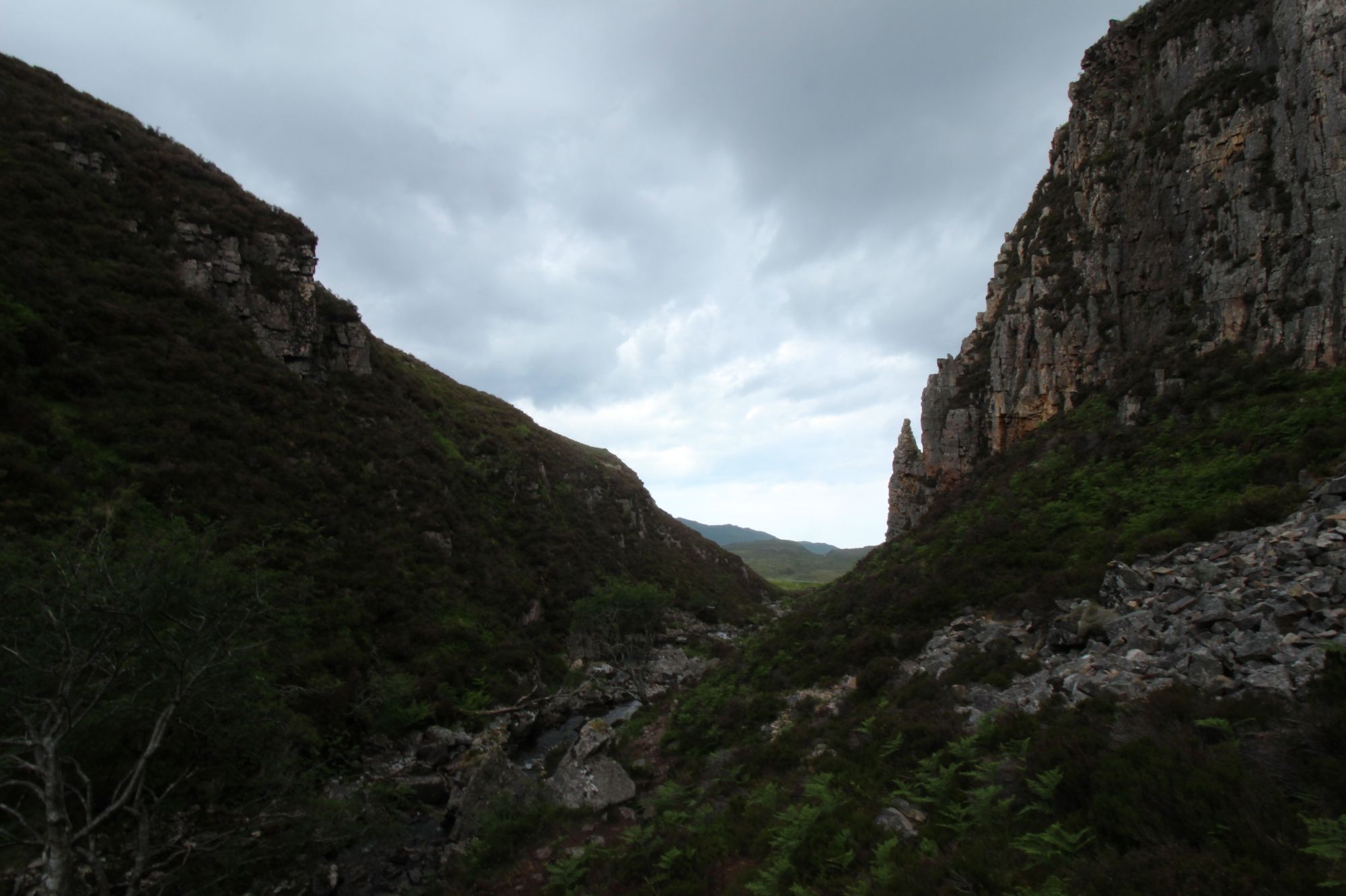
- Climatic Constraints: The gorge acts as a localized trap for stagnant air and moisture, making it a high-density zone for *Culicoides impunctatus* (Highland midges) during the summer season. Appropriate protective gear is essential for any stationary activity within the gorge. Furthermore, the light-to-dark contrast between the open plateau and the shadow-filled gorge floor creates significant challenges for light-metering and balance in terrain observation.
- Terrain Fragility: The Assynt landscape is a sensitive biosphere. Heavy foot traffic off the designated paths causes irreversible damage to the heathland and peat structures. Hikers must strictly adhere to the "Leave No Trace" protocol, ensuring that the unique, hardy flora clinging to the gorge walls is not disturbed by climbing or environmental impact.