



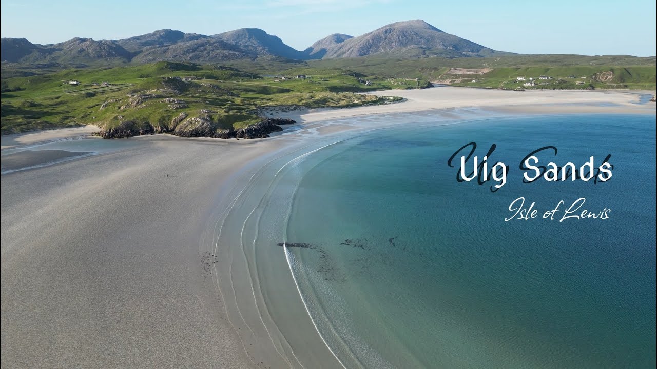

The Atlantic Desert: Navigating the Intertidal Plains, Norse Archeology, and Geomorphology of Uig Sands
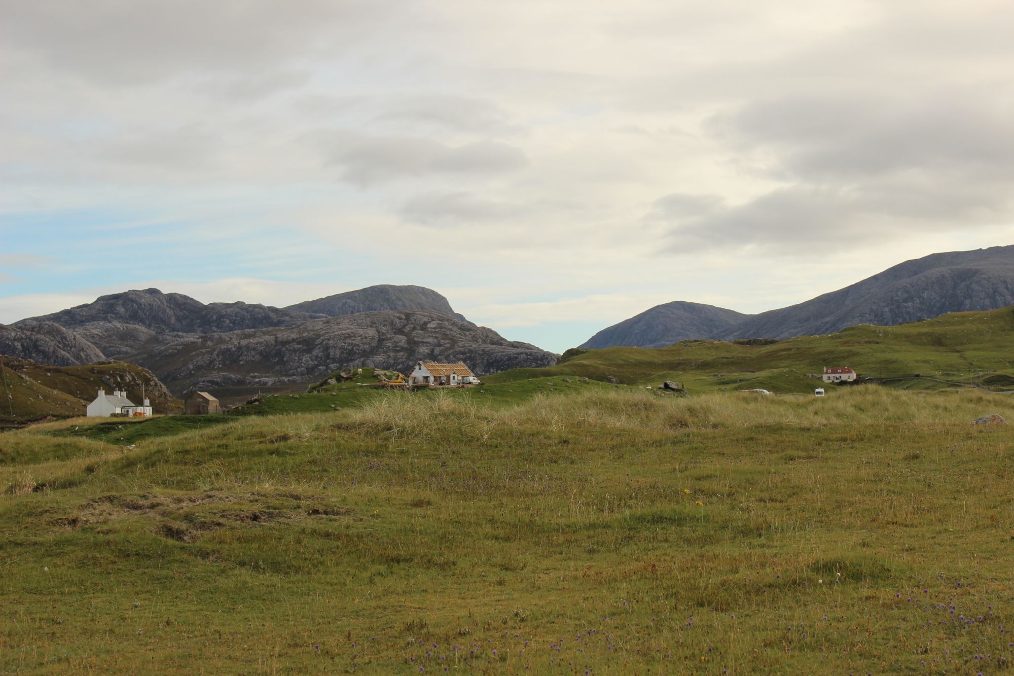
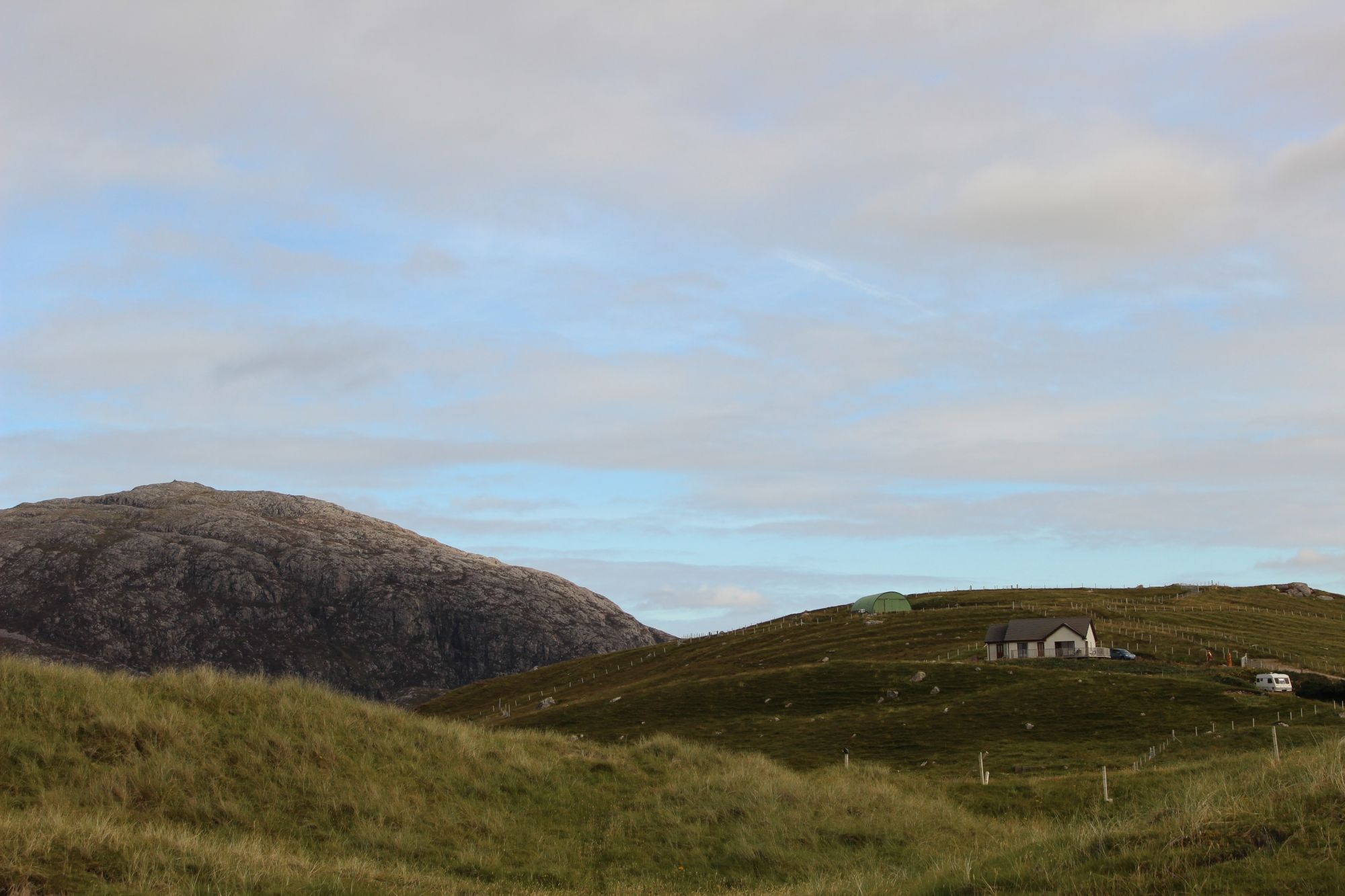
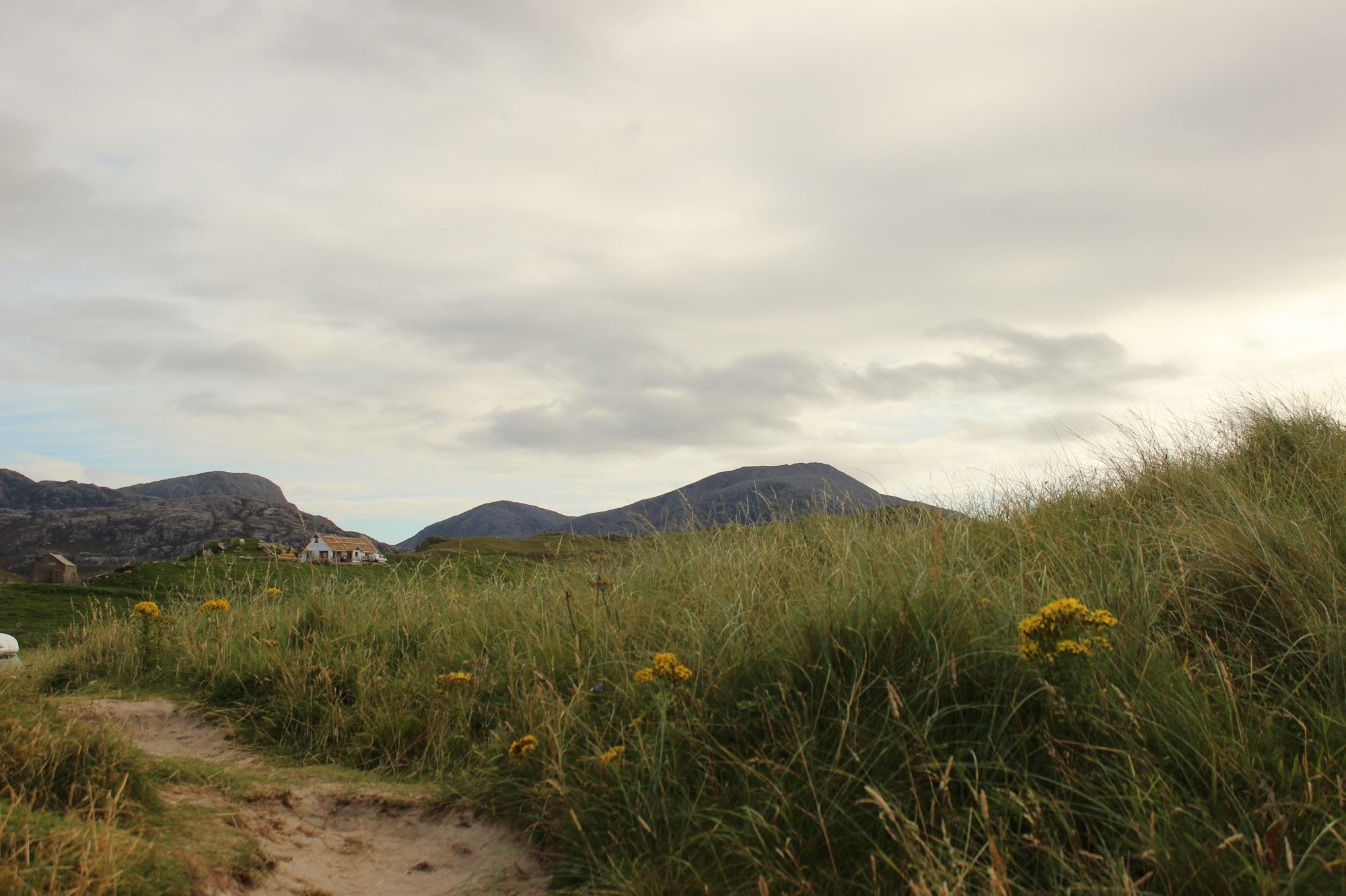
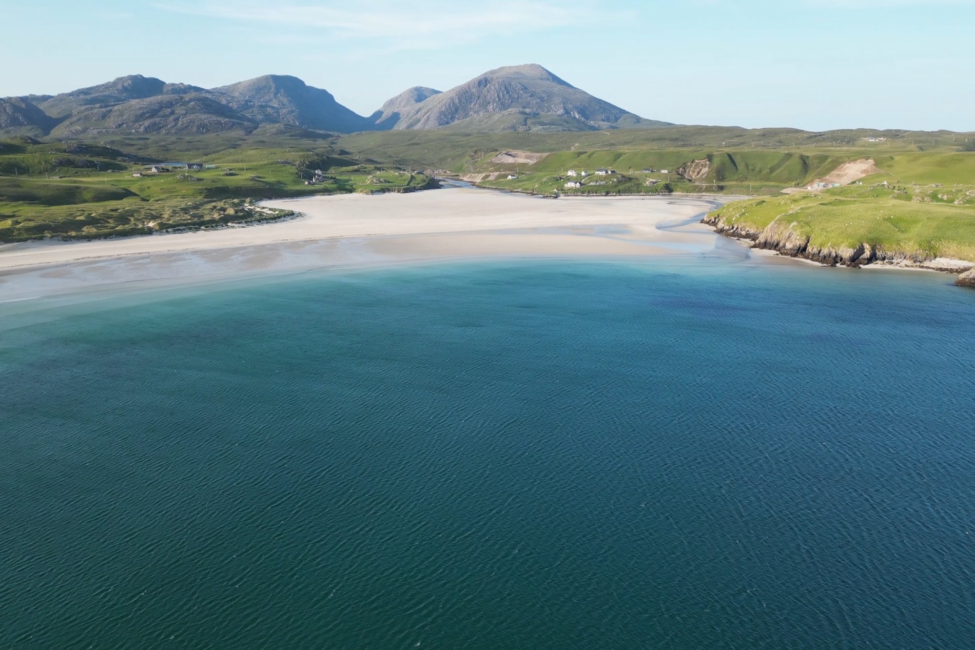
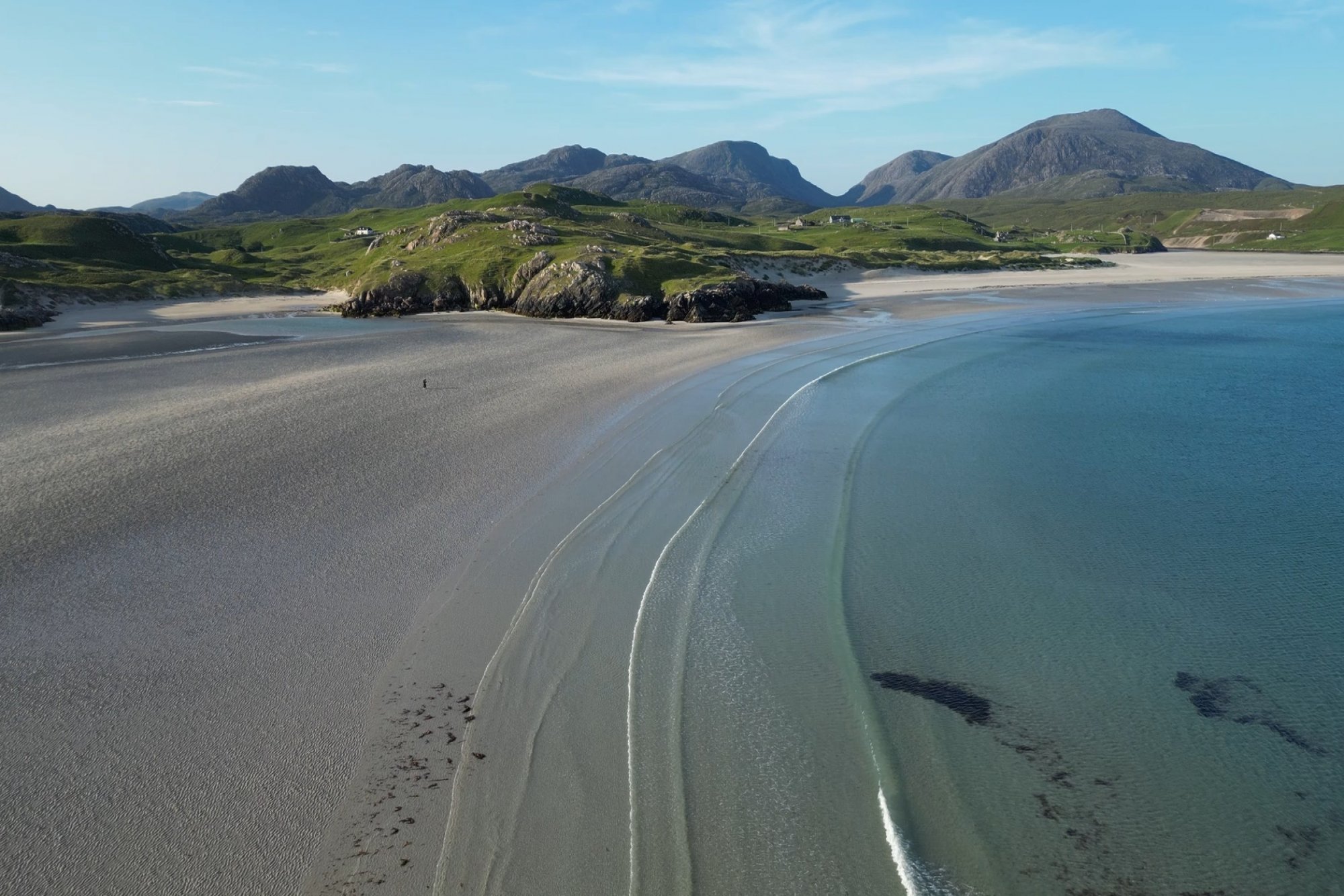
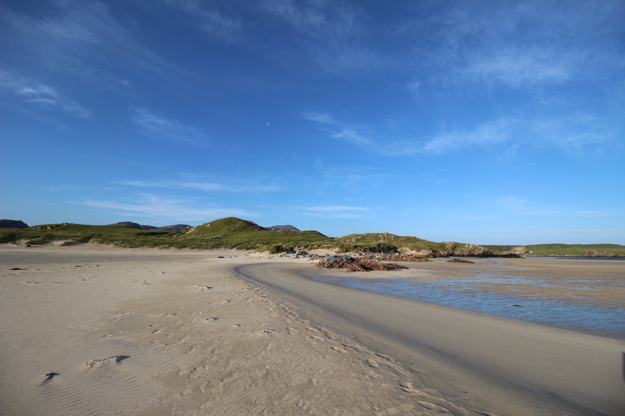
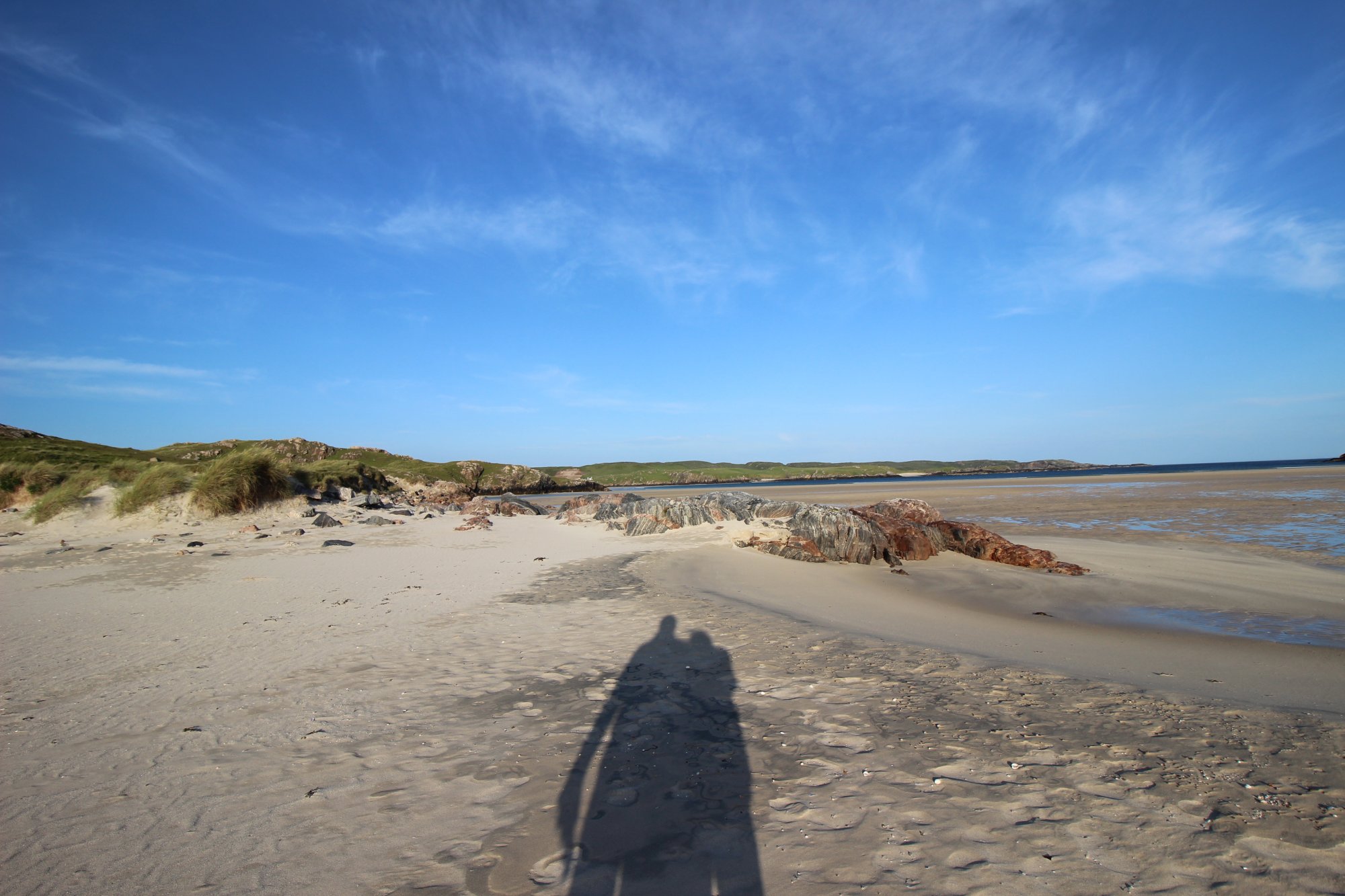
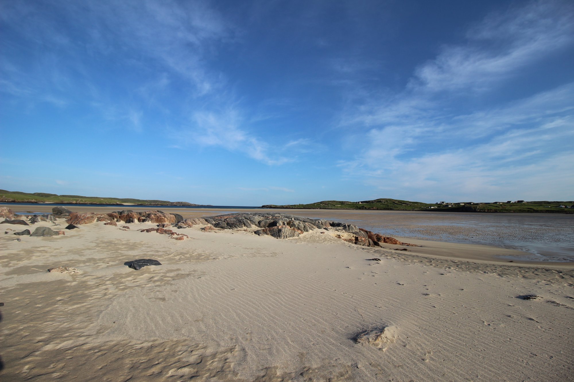
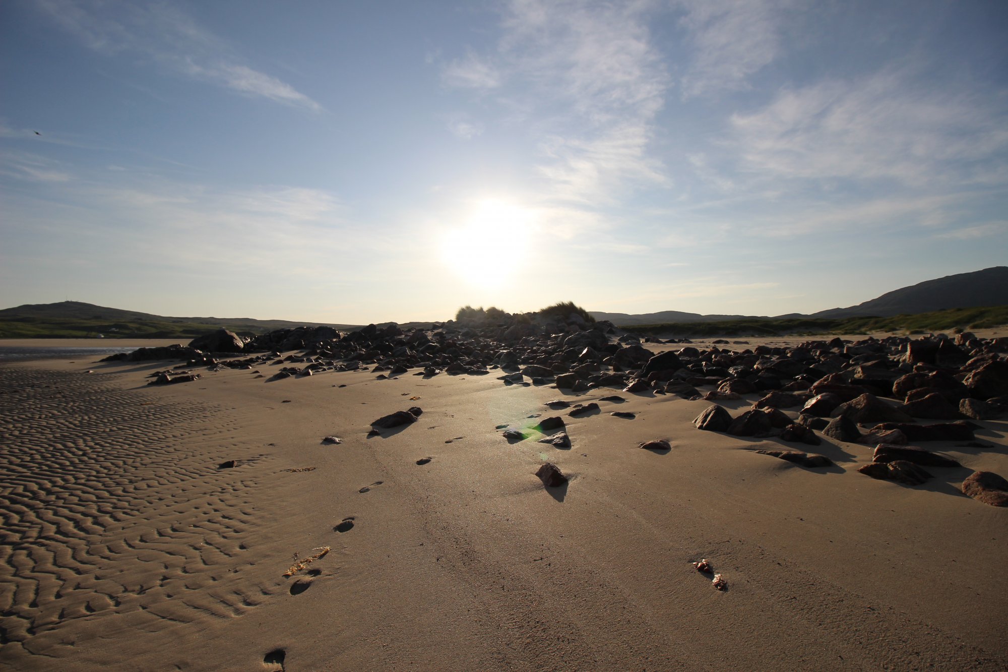
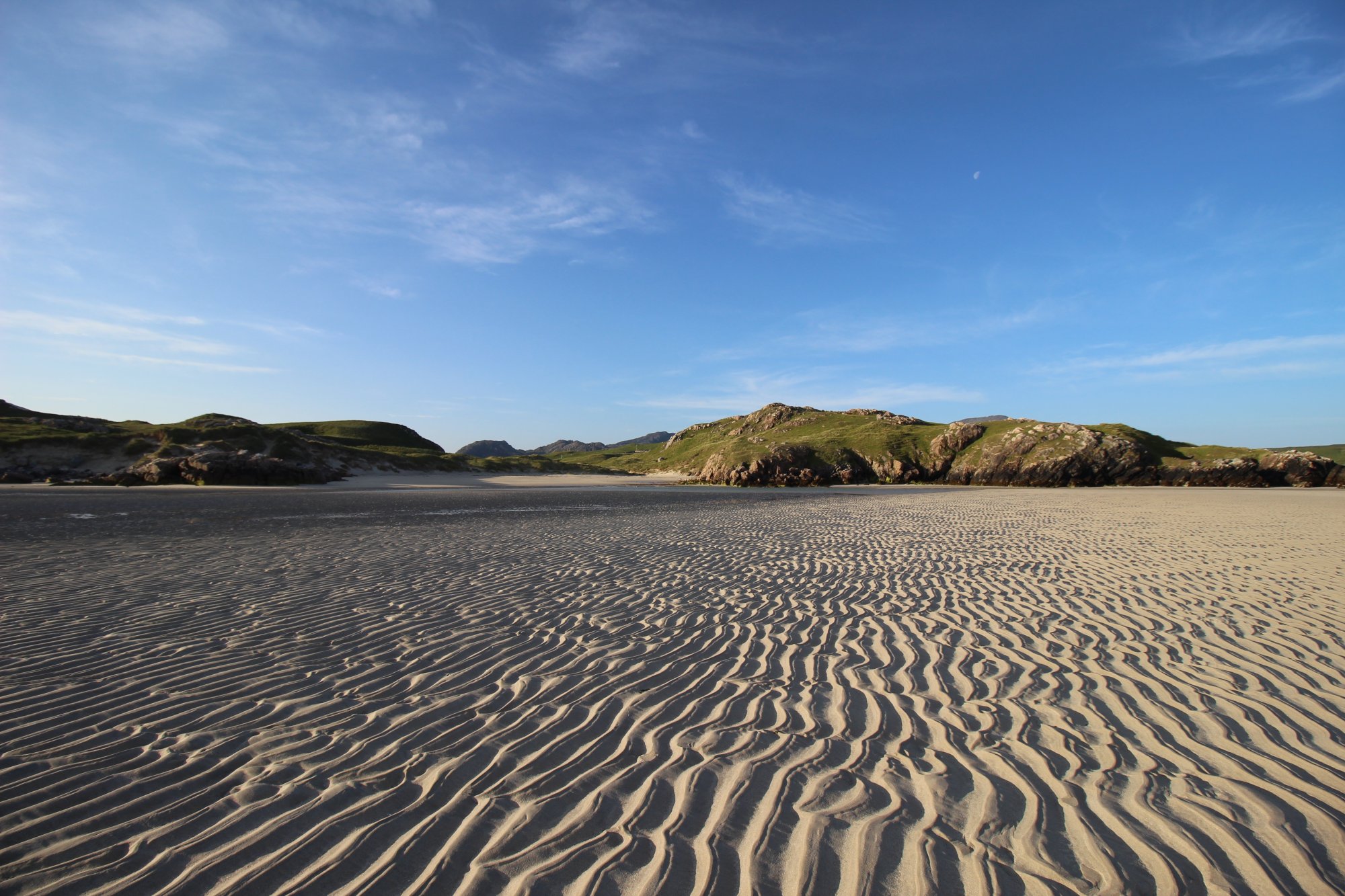
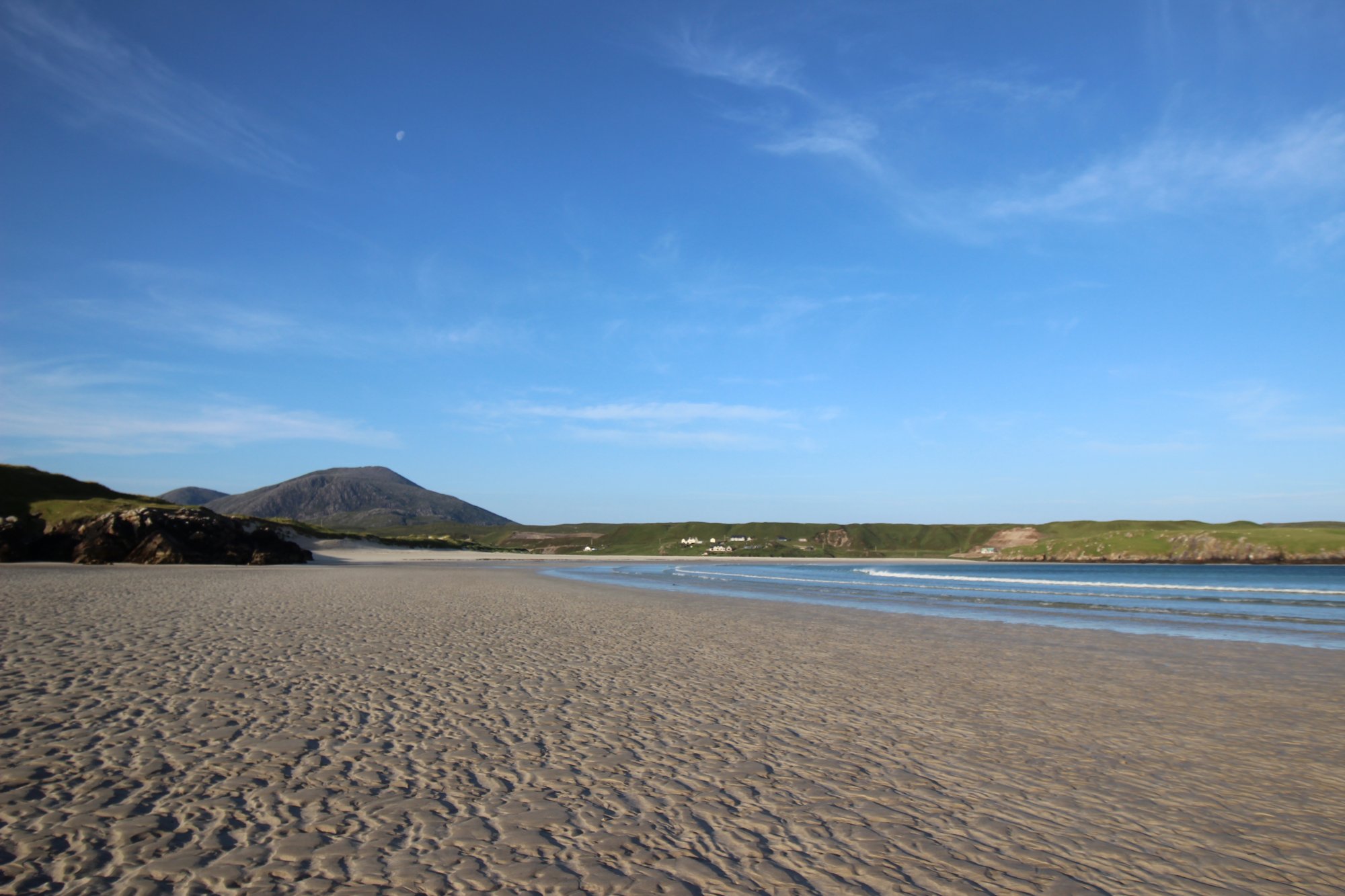
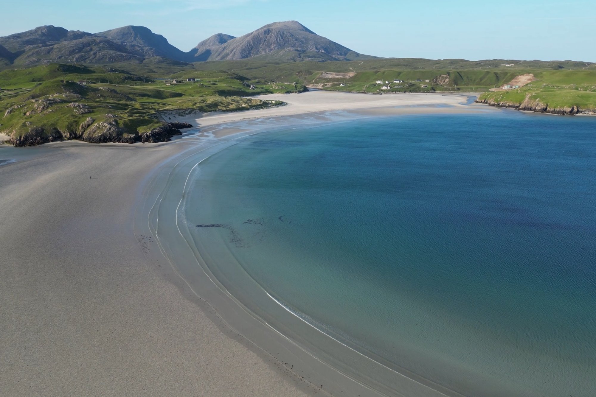
Sprawling across the rugged western coastline of the Isle of Lewis, Uig Sands—natively recorded in Scottish Gaelic as Tràigh Uige and frequently called Ardroil Beach—stands as one of the most topographically monumental and surreal coastal environments in the Outer Hebrides. This is no ordinary maritime strip; it is an immense, mountain-rimmed wilderness of fine white shell-sand that mimics the vast scale of a desert basin rather than a typical North Atlantic shoreline. At low tide, the marine retreat exposes a colossal, shimmering plain that requires a sustained overland march just to reach the true breaking surf. Framed by the dramatic, quartzite-streaked peaks of the Uig hills and the steep rock walls of the surrounding glens, this raw landscape offers independent wilderness walkers, history purists, and coastal navigators an unmatched sense of absolute geographic isolation.
The Structural Blueprint: The Lewis Chessmen and Intertidal Geometry
The physical footprint of Uig Sands is defined by monumental space, historical Viking maritime routes, and unique riverine dynamics, dividing the basin into distinct operational zones:
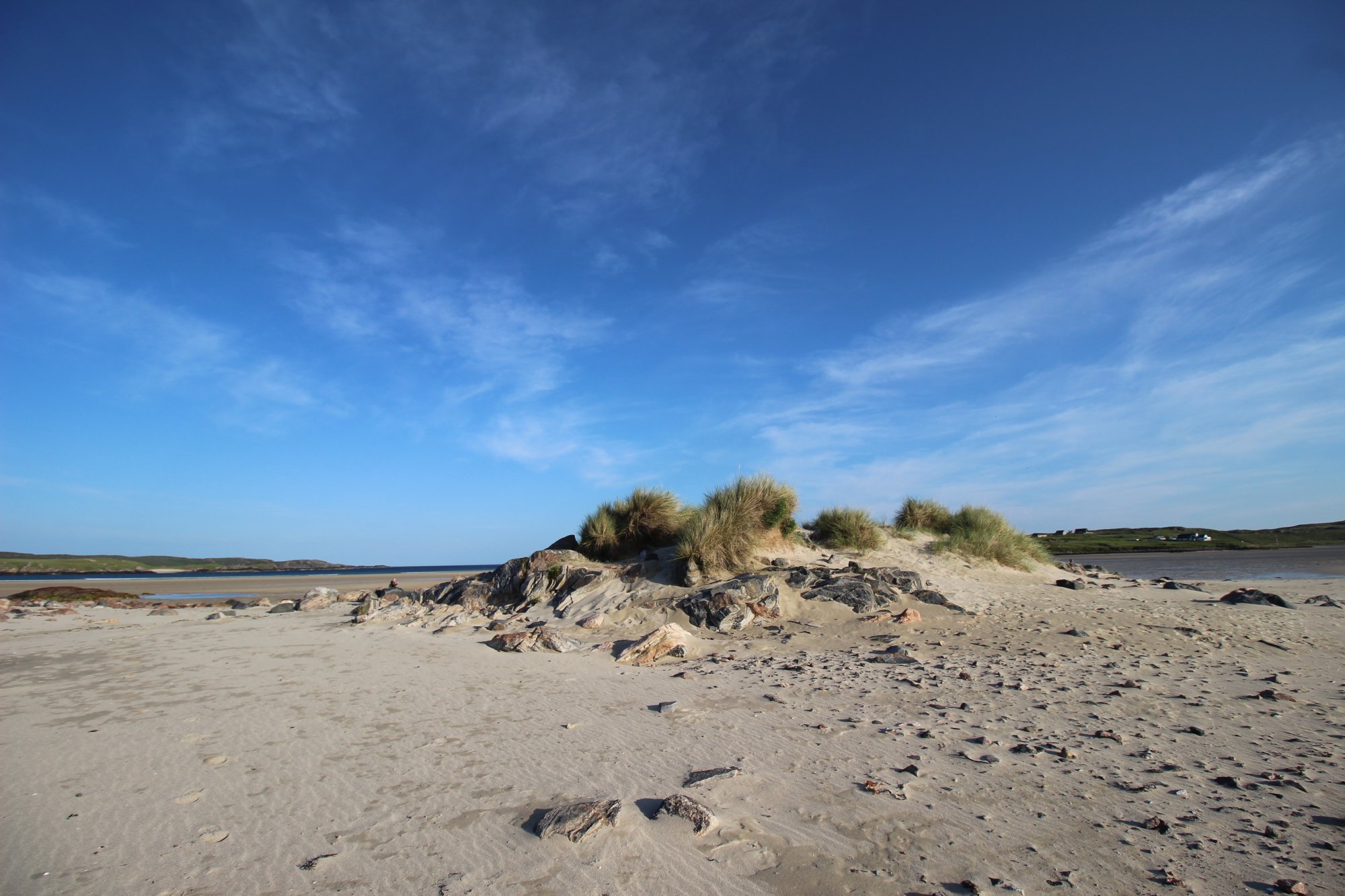
- The Archaeological Sandbanks of Ardroil: Uig Sands is etched permanently into global history as the discovery site of the world-famous Lewis Chessmen. Discovered within a stone cist hidden deep inside a storm-eroded sandbank at the edge of the beach, these seventy-eight intricately carved pieces—fashioned from walrus ivory and whales' teeth—date back to the twelfth century during the era of Norse sovereignty over the Kingdom of the Isles. While the original carvings are preserved within national museum archives, a monumental, oversized wooden sculpture of the Chessman King stands at the Ardroil perimeter, serving as a landmark over the dunes.
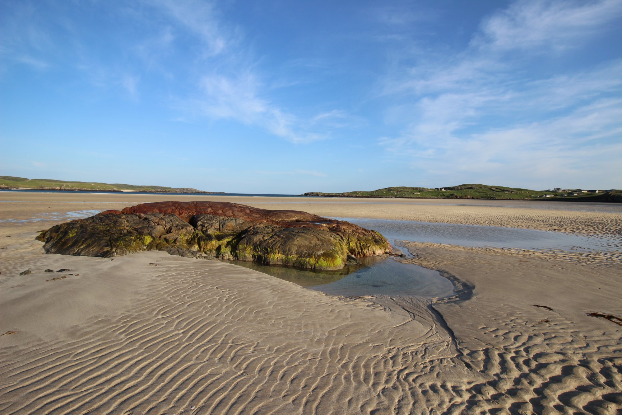
- Hydrology of the River Fhorsa and Tidal Shifts: The vast sandy plain is continually reshaped by the River Fhorsa, which snakes across the intertidal flats to discharge into the Atlantic. Depending on rainfall levels across the interior moors, the river course migrates laterally, creating a network of shifting shallow lagoons and tidal sandbars. Because the gradient of the bay is exceptionally flat, the incoming tide advances at high velocity, transforming dry sand plains into a deep marine basin within a single cycle.
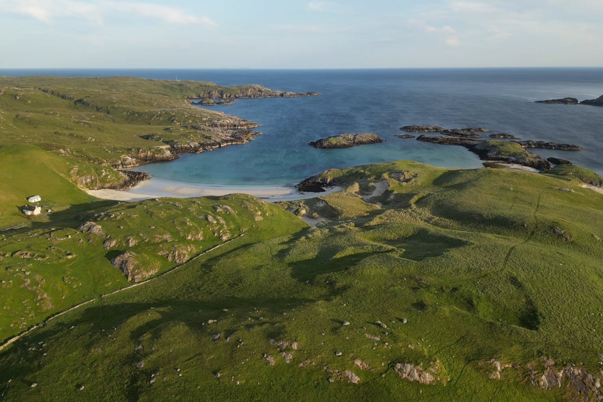
- The Topographical Divide of Carnish Beach: The complex geography of the bay is bisected by a prominent, rocky peninsula that splits the main intertidal floor. A low, machair-covered hill provides a structural boundary separating the endless Ardroil strand from the smaller, more enclosed cove of Carnish Beach to the north, which offers a more sheltered coastal environment when western gales hit the main flats.
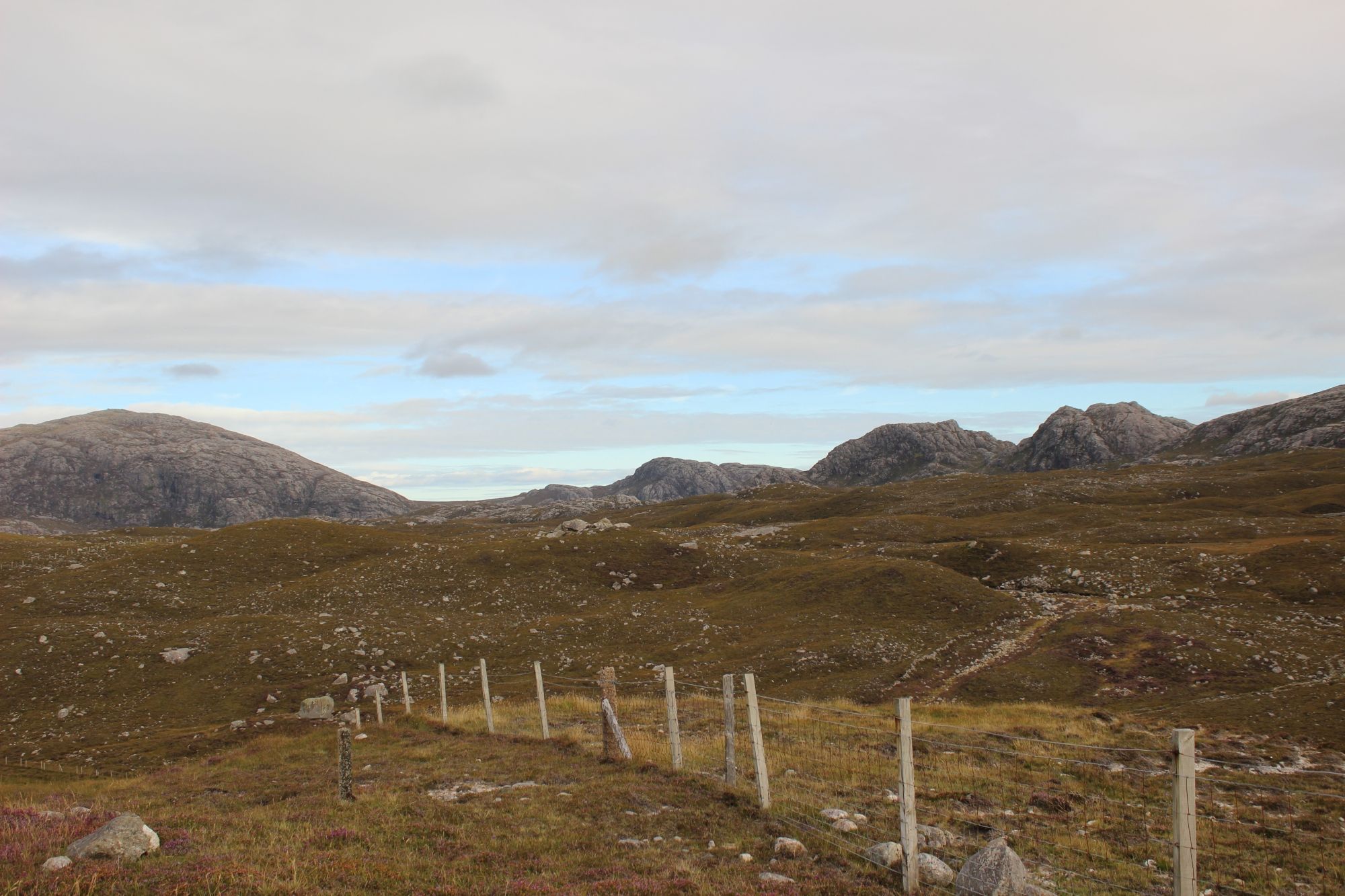
- The Gorge of Glen Valtos: The landward approach to the Uig basin functions as an intense geological prelude. Travelers must navigate Glen Valtos, a narrow, meltwater-carved gorge flanked by towering vertical rock faces. The sudden transition from this tightly enclosed, shadow-filled mountain pass to the blinding, massive openness of Uig Sands creates a profound geographic reveal.
The Trail Blueprint: Coastal Marching and Village Logistics
Exploring the vast shoreline of Uig and its hidden glens demands self-sufficient route planning and strategic staging:
- The Low-Tide Navigation: Walking to the Atlantic water line at Uig is a demanding physical trek rather than a casual stroll. The damp, saturated nature of the shell-sand creates heavy conditions underfoot, requiring supportive, waterproof footwear. Hikers must monitor local tide tables closely; the sheer distance from the upper dunes to the sea means that turning back must be timed precisely before the rapid incoming tide cuts off the outer sandbanks.
- The Ardroil Waterfall Track: Located just under a mile from the primary beach access point, a sheltered inland path cuts away into the folds of the hills to reveal the hidden waterfall of Ardroil. This minor glen provides a lush, heather-rimmed contrast to the stark wilderness of the sands, where water draining from the high moors cascades over dark Lewisian gneiss into a deep freshwater pool before joining the Fhorsa basin.
- Arrival Logistics and Parking Realities: Staging for the beach is centered around the dedicated public car park at Ardroil, which features well-maintained public toilet facilities managed by the local estate trust. A basic, community-led off-grid campsite operates nearby, catering to wilderness travelers looking for minimalist facilities. Additional provisions, fuel, and local historical exhibits are located a short distance away at the Uig Community Shop and Centre.
Marine Dynamics, Wind Shear, and Environmental Security
The exposed western aspect of Lewis creates a high-energy maritime environment where environmental factors directly dictate visitor safety:
- Aeolian Sand Drifts and Exposure: Due to the immense width of the bay, Uig Sands is highly vulnerable to severe wind shear. Strong westerly or northerly Atlantic winds cause massive sand-blowing events, lifting the dry upper layers of shell-sand into high-velocity horizontal drifts. Under these conditions, visibility across the flats can drop significantly, and exposed walking becomes hazardous without protective eyewear. Seeking days with light easterly winds provides the calmest, most stable conditions for exploring the intertidal zone.
- Saturated Sands and River Forcing: Wading through the channels of the River Fhorsa requires caution following heavy upland storms. Increased water velocity from the moors can deepen the river channels across the beach unexpectedly, creating soft, unstable sandbeds along the margins that can trap unsuspecting walkers.
- Digital Communication Realities: The massive metamorphic ridges surrounding Uig create a severe barrier to cellular networks. Mobile digital signals drop completely across large portions of the beach and within the deep cut of Glen Valtos. Walkers tracking along the coastal headlands must maintain self-sufficiency using traditional physical topographic maps and magnetic compasses for route security.