


The Northern Gateway: Navigating the Marine Infrastructure, Trotternish Geology, and Coastal Routes of Uig, Skye
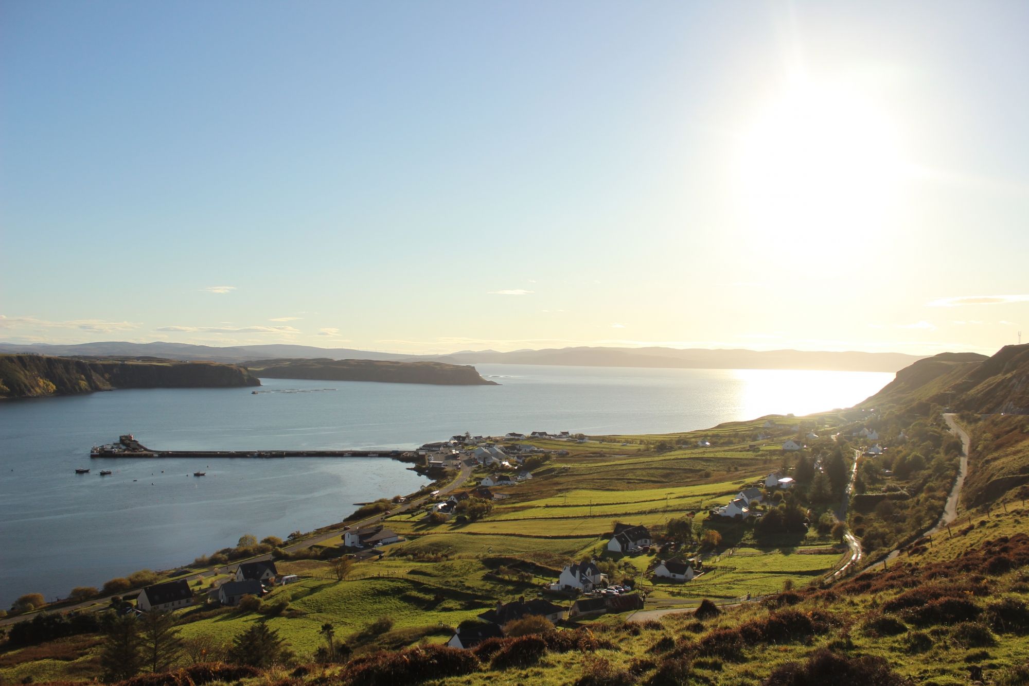
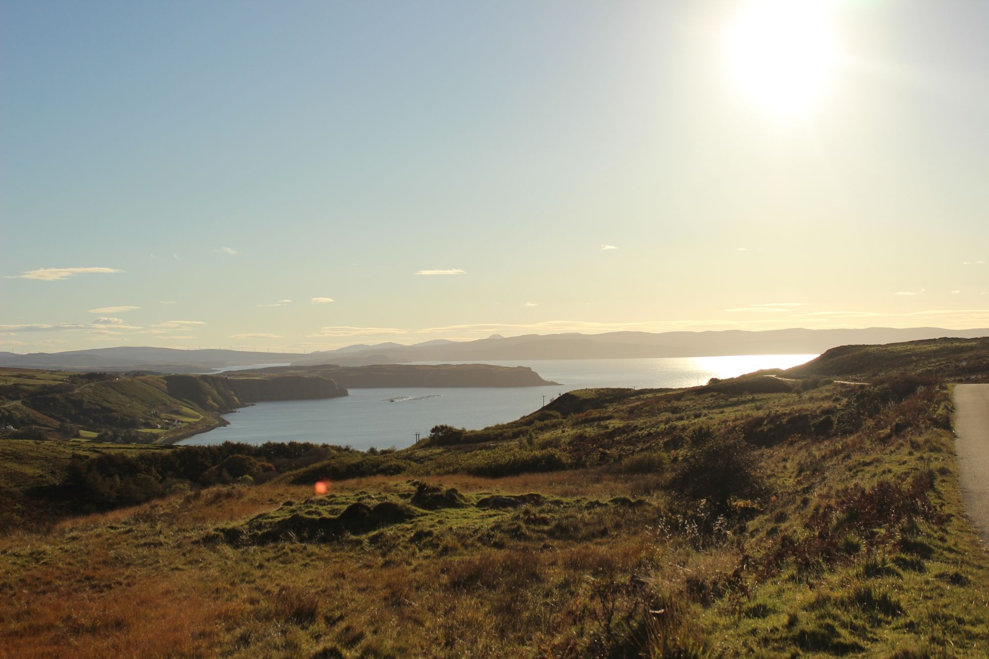
Situated at the heart of a deep, indented bay on the northwestern coast of the Isle of Skye, Uig serves as a vital marine gateway and geological staging point for the Trotternish Peninsula. Unlike the exposed, basaltic western cliffs of the island, Uig occupies a protected amphitheater of terraced hillsides, offering a unique micro-climate and a vital hub for regional maritime transit. The village—whose name derives from the Old Norse word for "bay"—is defined by its dual identity as a bustling ferry port connecting Skye to the Outer Hebrides and a tranquil launchpad for hikers exploring some of the most dramatic landslide topography in the United Kingdom. Navigating this region requires a clear understanding of marine logistics, high-elevation trail parameters, and the complex road geometry of the Trotternish loop.
The Structural Blueprint: Uig Bay and the Trotternish Landslide Complex
The physical footprint of Uig is shaped by ancient volcanic activity and mass-wasting events, creating a distinct topographical profile:
- The Marine Basin and Ferry Infrastructure: Uig Bay is a deep, sheltered marine inlet that provides the essential deep-water access required for the CalMac ferry terminal. This terminal acts as the primary logistical artery for the "Triangle Route," facilitating transit to Tarbert (Harris) and Lochmaddy (North Uist). The bay’s sheltered nature allows for consistent operations even during periods of heavy Atlantic swell, though tidal navigation requires strict adherence to seasonal schedules.
- Trotternish Escarpment and Slip Topography: Rising directly behind the village is the Trotternish Escarpment, a massive volcanic plateau prone to massive, ancient landslides. This complex geological zone has created the unique, chaotic rock formations that define northern Skye. Uig serves as the southern access point to these landforms, sitting at the base of the steep ridge that leads toward the Quiraing and the Old Man of Storr.
- Uig River and Coastal Strands: The River Rha and the River Conon converge at the floor of the bay, creating a fertile, green riparian corridor that cuts through the dark basaltic landscape. The shoreline consists of a mix of rocky tidal flats and sand-strewn coves, providing a protected marine zone that contrasts sharply with the high-energy, vertical cliffs found further north along the coast.
The Trail Blueprint: Escarpment Access and Geomorphology
Exploring the northern reaches of Skye from a Uig base requires advanced planning regarding elevation changes and localized mountain terrain:
- The Fairy Glen (An t-Seana Bhaile): Located in the hills immediately south of Uig, this area features highly localized, miniature conical hills and moss-covered rock stacks formed by ancient landslips. The terrain here is deceptive; while it appears visually gentle, the ground is extremely uneven, boggy, and prone to rapid erosion. Hikers must remain on established paths to preserve the fragile turf covering these unique basaltic mounds.
- Ascent Routes to the Escarpment: Uig offers several non-official but well-trodden access lines to the higher Trotternish ridge. These are not maintained footpaths but rather steep, direct sheep-tracks that gain hundreds of meters of elevation over short distances. Due to the high risk of low-cloud (fog) entrapment and sudden weather shifts, these routes should only be attempted by hikers with high-level navigation proficiency and magnetic compass capability, as GPS signal reliability can drop in the deep shadow of the ridge.
- Arrival Logistics and Village Transit: The village is serviced by the A87 and the A855 coastal loop. The road geometry in Uig is notoriously tight, particularly near the harbour and the primary ferry slipway. Heavy transit traffic during ferry boarding windows can lead to significant bottlenecks. Visitors should stage vehicles in designated lots away from the active ferry terminal to avoid disrupting commercial transit flows.
Marine Hazards, Atlantic Weather, and Terrain Safety
The coastal position of Uig creates a volatile environment where atmospheric factors and marine energy dictate visitor safety:
- Atmospheric Funneling: The deep Uig bay acts as a natural funnel for westerly winds. High-velocity gusts frequently sweep down from the Trotternish plateau, creating localized wind-shear conditions at the harbour. For those launching small craft or kayaking within the bay, these katabatic winds can emerge with zero warning, pushing watercraft toward the open Firth of Lorn.
- Basaltic Rockfall Risk: The cliffs forming the southern boundary of the bay are primarily composed of weathered basalt and soft sedimentary inter-beds. These faces are subject to constant freeze-thaw weathering. Walking directly at the base of the cliffs is discouraged, as sudden rockfall, particularly during the transition from winter to spring, is a documented hazard in the Trotternish region.
- Tidal Constraints and Marine Navigation: While the harbour is protected, the northern and southern approach channels are littered with submerged volcanic reefs that are only visible at the lowest ebb tides. Local marine knowledge is required for any off-shore navigation. Shore-based walkers should treat all coastal rocks as extremely high-risk surfaces due to the rapid accumulation of slick, salt-hardened algae.