


Where Crowns Were Born: Tracing the Volcanic Horizons, Robert the Bruce Trail, and Coastal Splendor of Turnberry Beach
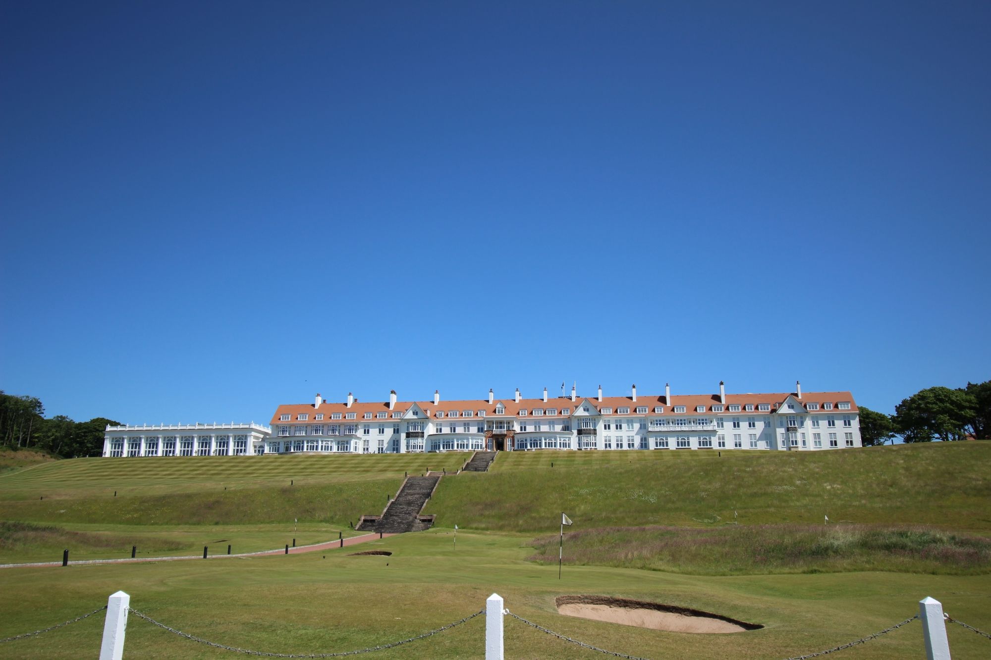
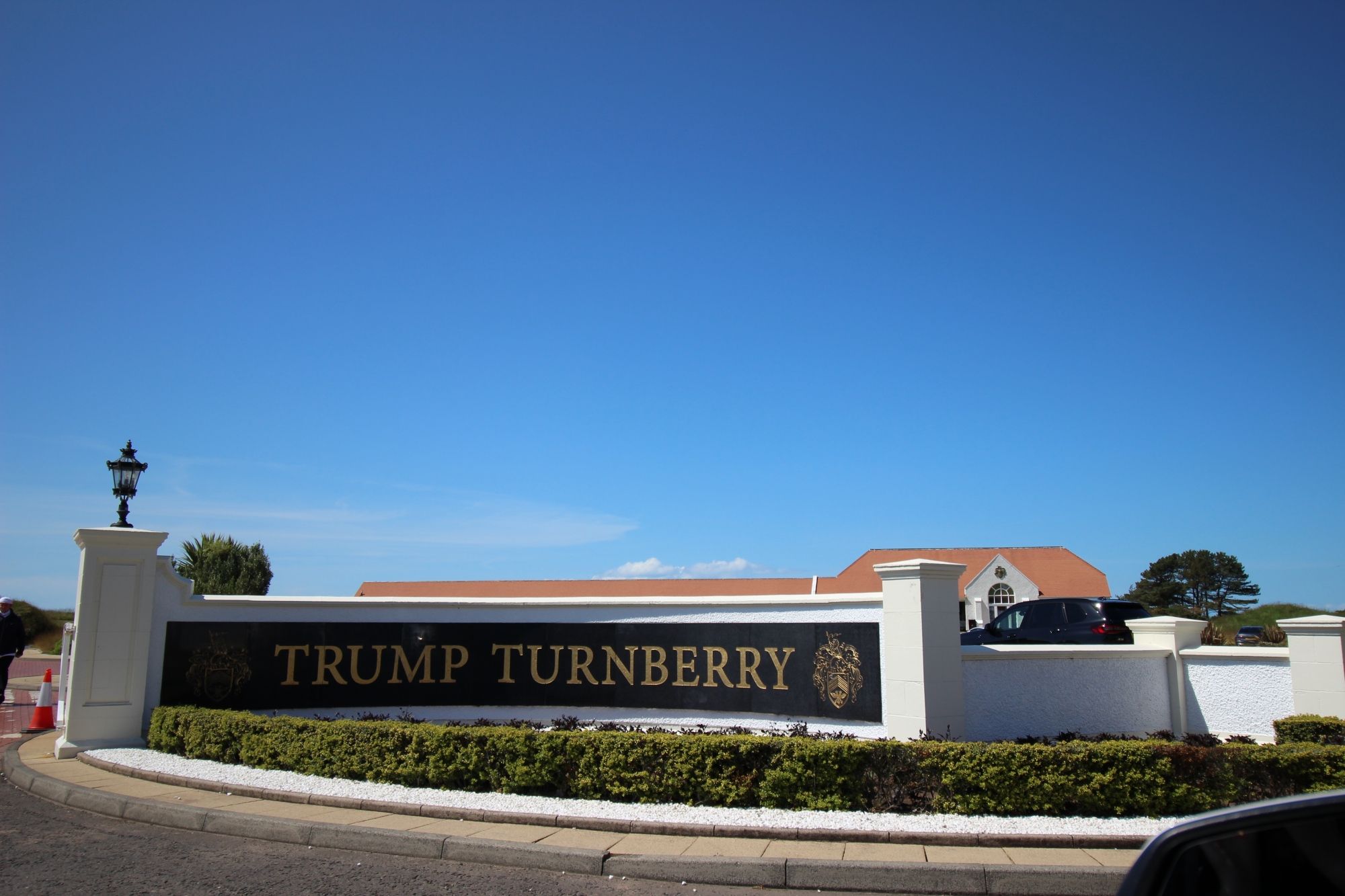
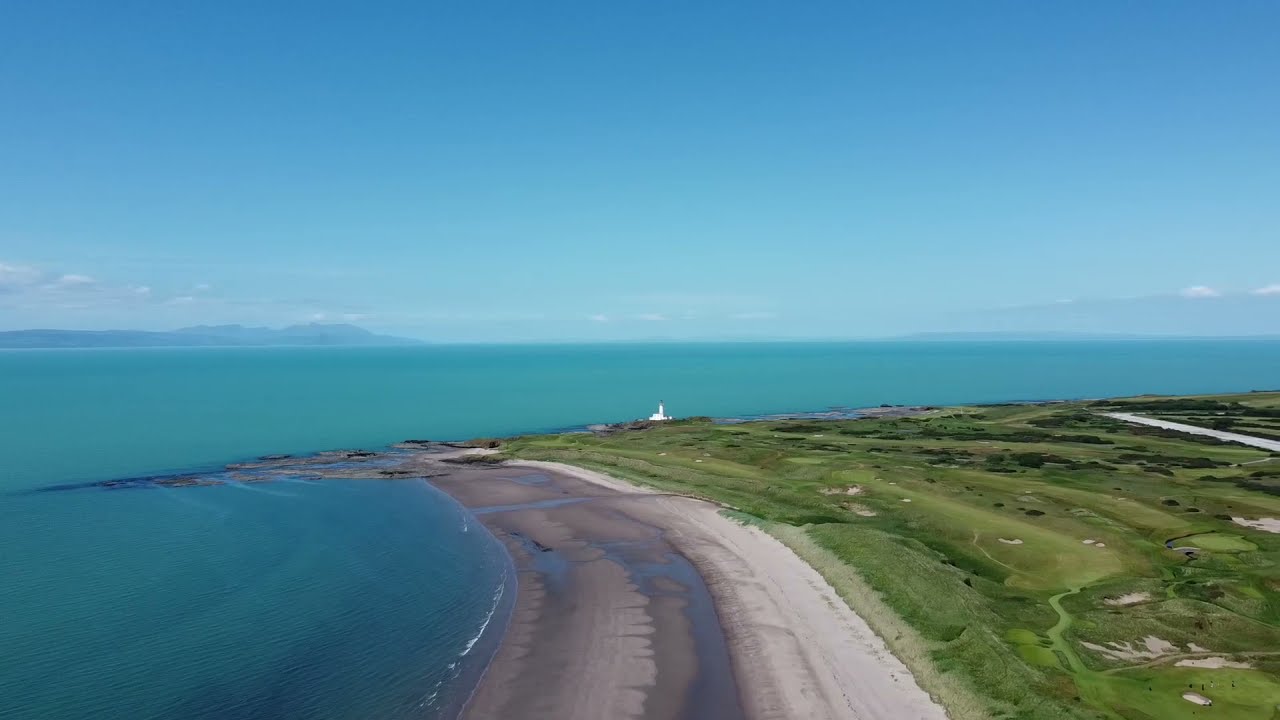
Stretching along the wave-swept coastline of South Ayrshire, Turnberry Beach stands as a scenic and historically rich coastal environment in southwest Scotland. Facing the open waters of the Firth of Clyde, this expansive strip of golden sand and rugged rocky fingers is defined by its commanding, panoramic views across the sea to the iconic volcanic plug of Ailsa Craig and the dramatic mountainous outline of the Isle of Arran. The beach borders the world-renowned Trump Turnberry golf resort, sharing a perimeter with manicured championship links while retaining its raw, public coastal identity. Situated just off the main A719 coastal road near the village of Maidens, this tranquil destination offers independent coastal walkers, long-distance hikers, and heritage enthusiasts an authentic encounter with the maritime elements of the Ayrshire shoreline.
Granite Outposts and Royal Ruins: The Landmarks of Turnberry Point
The physical footprint of Turnberry Beach is characterized by a mix of soft sand bays, low-lying volcanic rock shelves, and towering maritime engineering, dividing the shoreline into three key sectors:
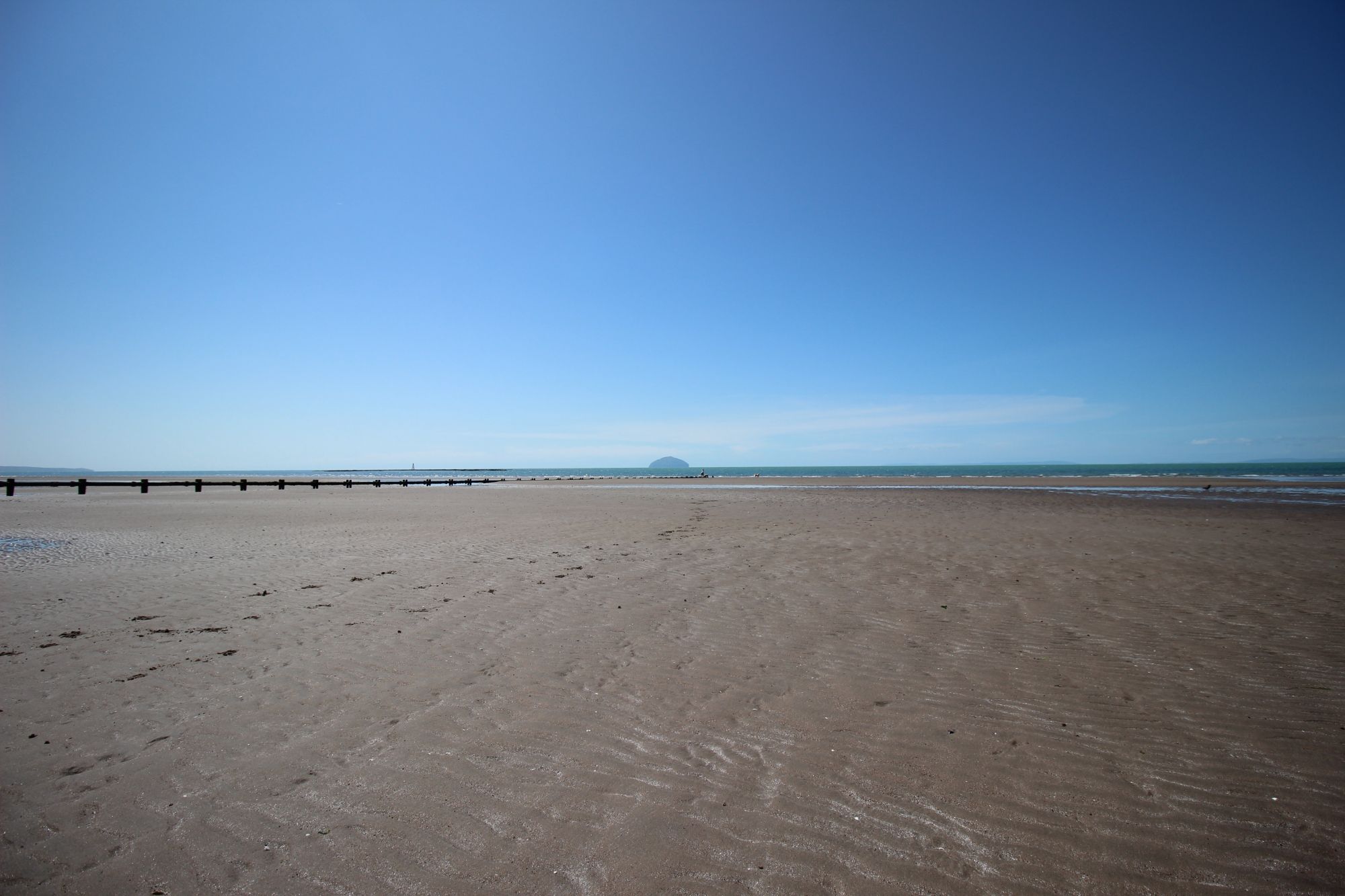
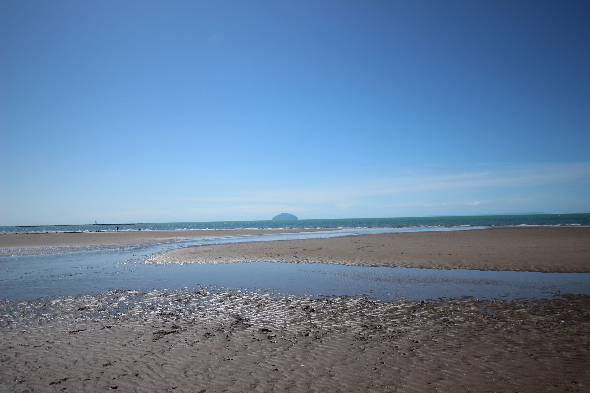
- The Sandy Intertidal Bay: The primary beach consists of fine, firm sand that gently slopes into the shallow waters of the Firth of Clyde. Sheltered in part by the rocky headland of Turnberry Point to the south, the beach experiences varying wave energy depending on Atlantic weather systems funneling up the channel, making it a peaceful walking route during low-tide cycles.
- Turnberry Point and Lighthouse: Guarding the southern edge of the sands sits Turnberry Point, a jagged promontory composed of dark volcanic rock. Perched directly atop these crags is the historic Turnberry Lighthouse. Built by the famous Stevenson engineers, the white tower stands over 24 meters ($79 ext{ feet}$) high and marks the ancient structural remains of Turnberry Castle—the legendary thirteenth-century birthplace of Robert the Bruce, King of Scots.
- The Maritime Panoramas: The defining feature of any visit to the shoreline is the unobstructed maritime view. Rising abruptly from the sea 10 miles ($16 ext{ km}$) offshore is Ailsa Craig, a massive, uninhabited micro-island famed for its unique micro-granite formations. To the northwest, the jagged granite ridges of the Arran hills form a colossal backdrop, creating an intense sense of scale across the open water.
The Highway of Long-Distance Walkers: Path Mechanics and Access Realities
Exploring Turnberry Beach and its surrounding headlands requires a clear understanding of public access rights, trail connections, and local staging points:
- The Ayrshire Coastal Path Connection: Turnberry Beach forms a vital, scenic link along the Ayrshire Coastal Path—a long-distance trail running 100 miles ($161 ext{ km}$) along the county's shore. Hikers can track north from the Turnberry sands toward the sweeping bay of Maidens and the forested estate of Culzean Castle, or follow the trail south toward Girvan. The path transitions between sandy strands, grassy dunes, and hard tarmac paths.
- Public Access and Golf Course Perimeters: Under the Land Reform (Scotland) Act, public access rights apply fully to the foreshore and the established coastal paths bordering the golf courses. However, walkers must exercise strict safety awareness when tracking alongside the active fairways of the Ailsa course. Pedestrians must stay on the designated shoreline tracks and watch for low-flying golf balls when passing near the greens.
- Arrival Logistics and Parking Options: Staging for the beach can be managed via two primary locations. Visitors looking for immediate access can utilize the public roadside lay-bys along the A719 near the entrance to the resort estate. Alternatively, hikers can park at the nearby village of Maidens, which features a spacious coastal car park and public amenities, before embarking on a short 1.5-mile ($2.4 ext{ km}$) walk south along the continuous sandy shoreline to reach Turnberry.
Untamed Waters: Sea Surges, Algae Flats, and Dune Integrity
The coastal micro-climate of South Ayrshire creates a changing environment where natural factors dictate visitor safety along the shoreline:
- Slippery Rock Strata and Tidal Inundation: The rocky promontories at Turnberry Point are heavily covered in slippery bladderwrack seaweed and kelp. When exploring the rock pools or walking near the base of the lighthouse at low tide, visitors must wear sturdy footwear with reliable rubber grip to avoid slips on the wet, algae-coated stone surfaces.
- Firth of Clyde Weather Swells: While the Firth of Clyde offers more shelter than the fully exposed Atlantic coast of the Outer Hebrides, severe autumn and winter gales can cause rapid sea surges. High winds funneling from the south can push large waves directly over the low-lying rock shelves at Turnberry Point, making it hazardous to stand near the shoreline edges during storm cycles.
- Preserving the Coastal Dune Integrity: The thin strip of sand dunes separating the beach from the golf links is highly susceptible to wind erosion. Walkers are encouraged to utilize established access gates and gravel pathways to cross between the shore and the roads, helping to protect the delicate marram grass root networks that stabilize the coastal boundary.