




The Outposts of North Harris: Traversing the Coastal Headlands of Tràigh Mheilein and the Huisinis Peninsula
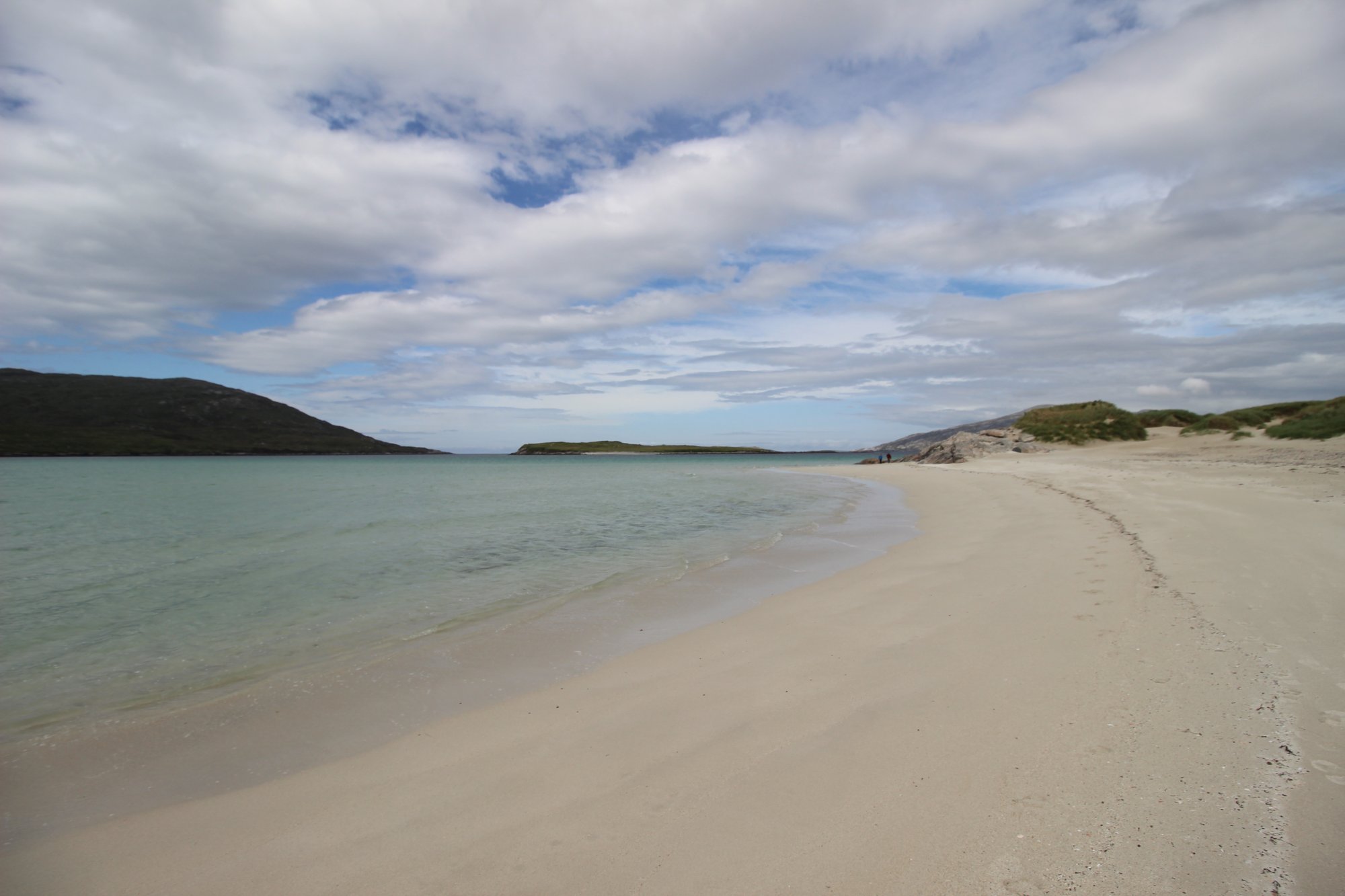
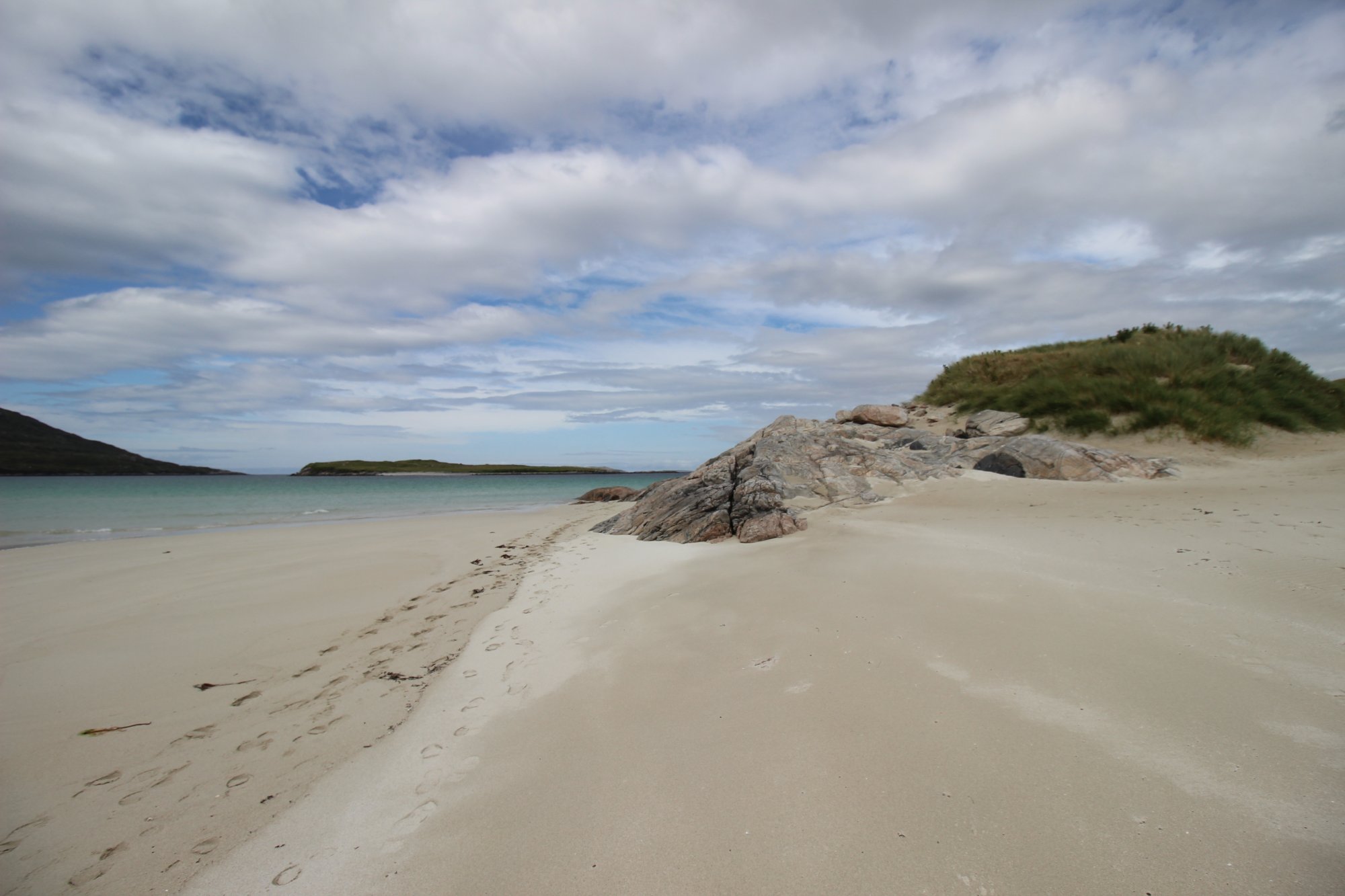
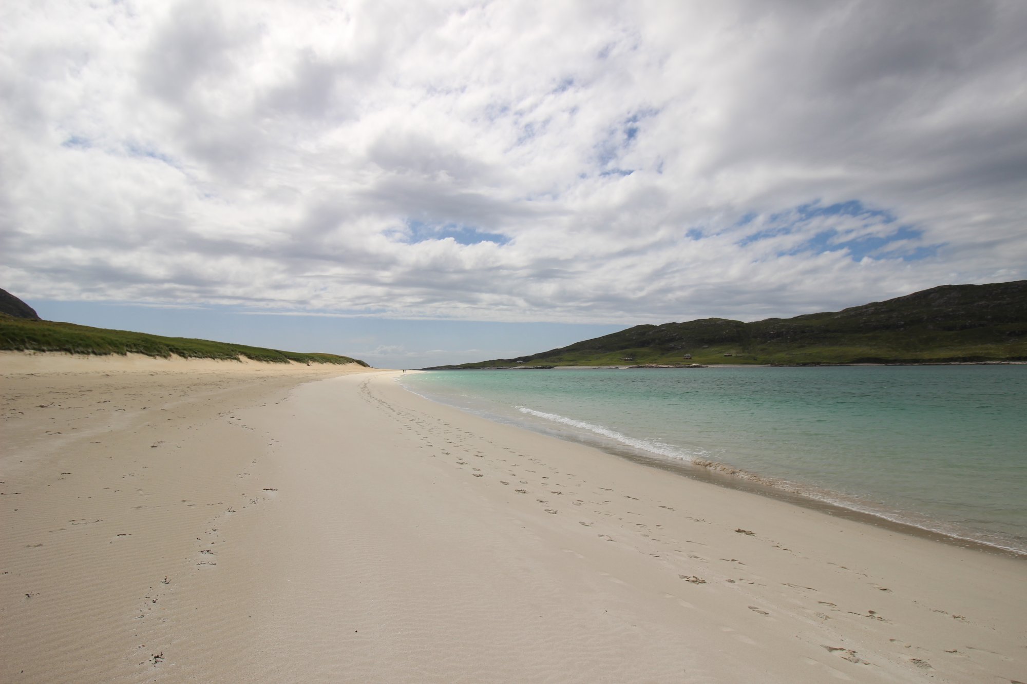
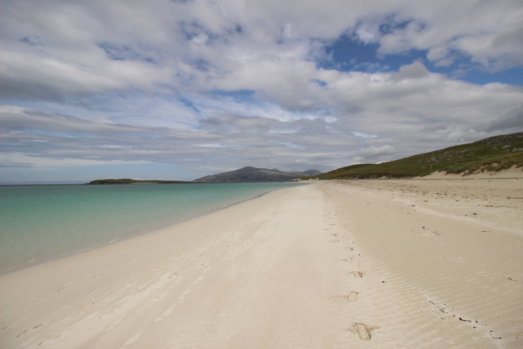
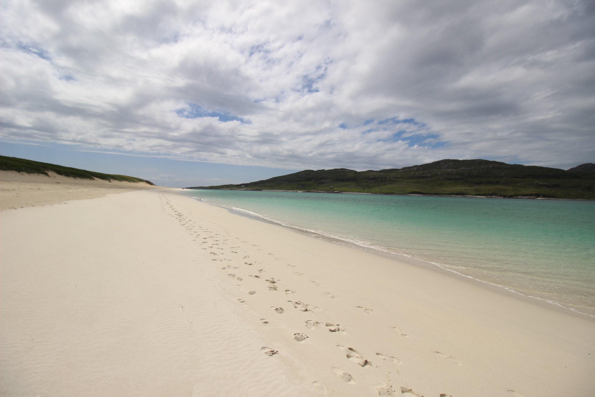
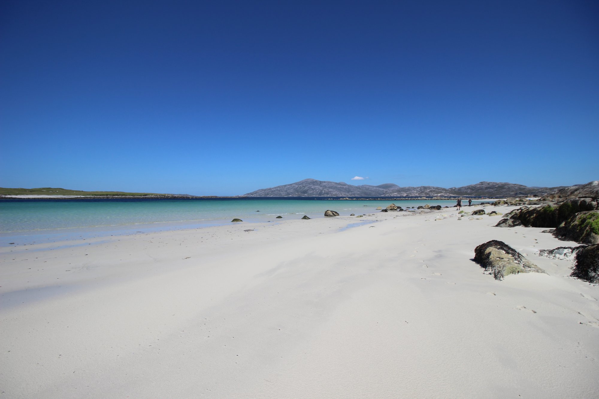
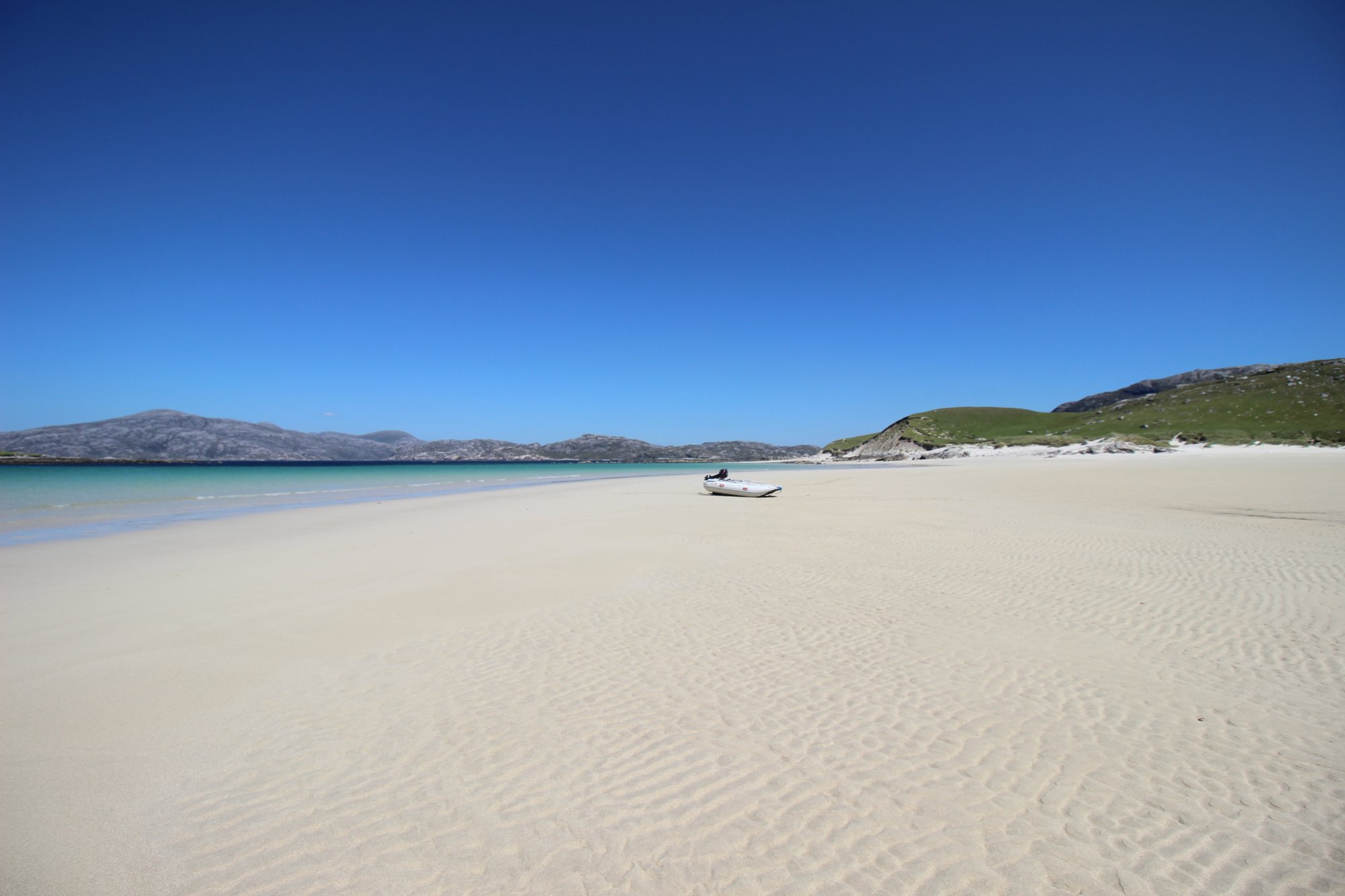
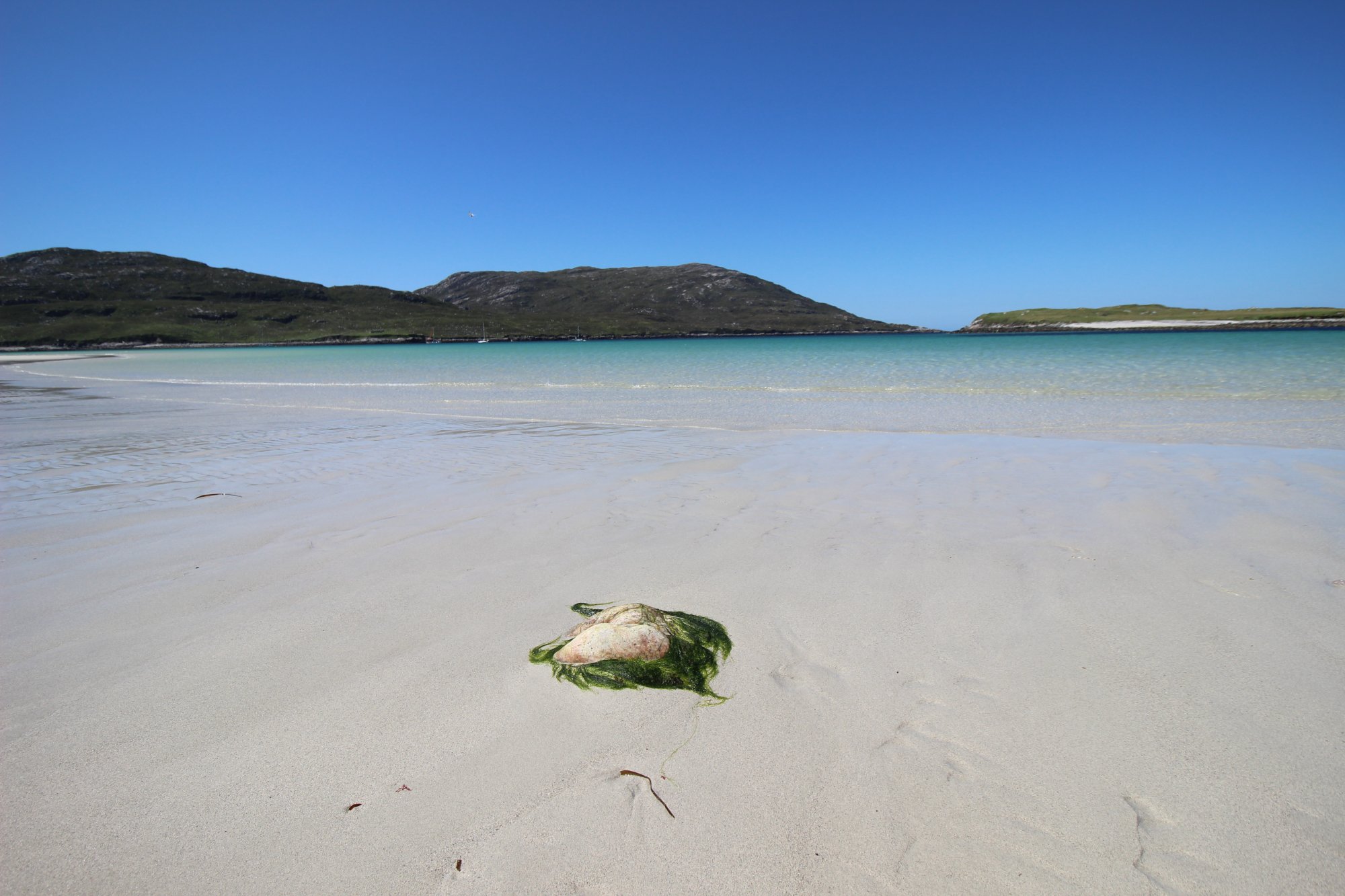
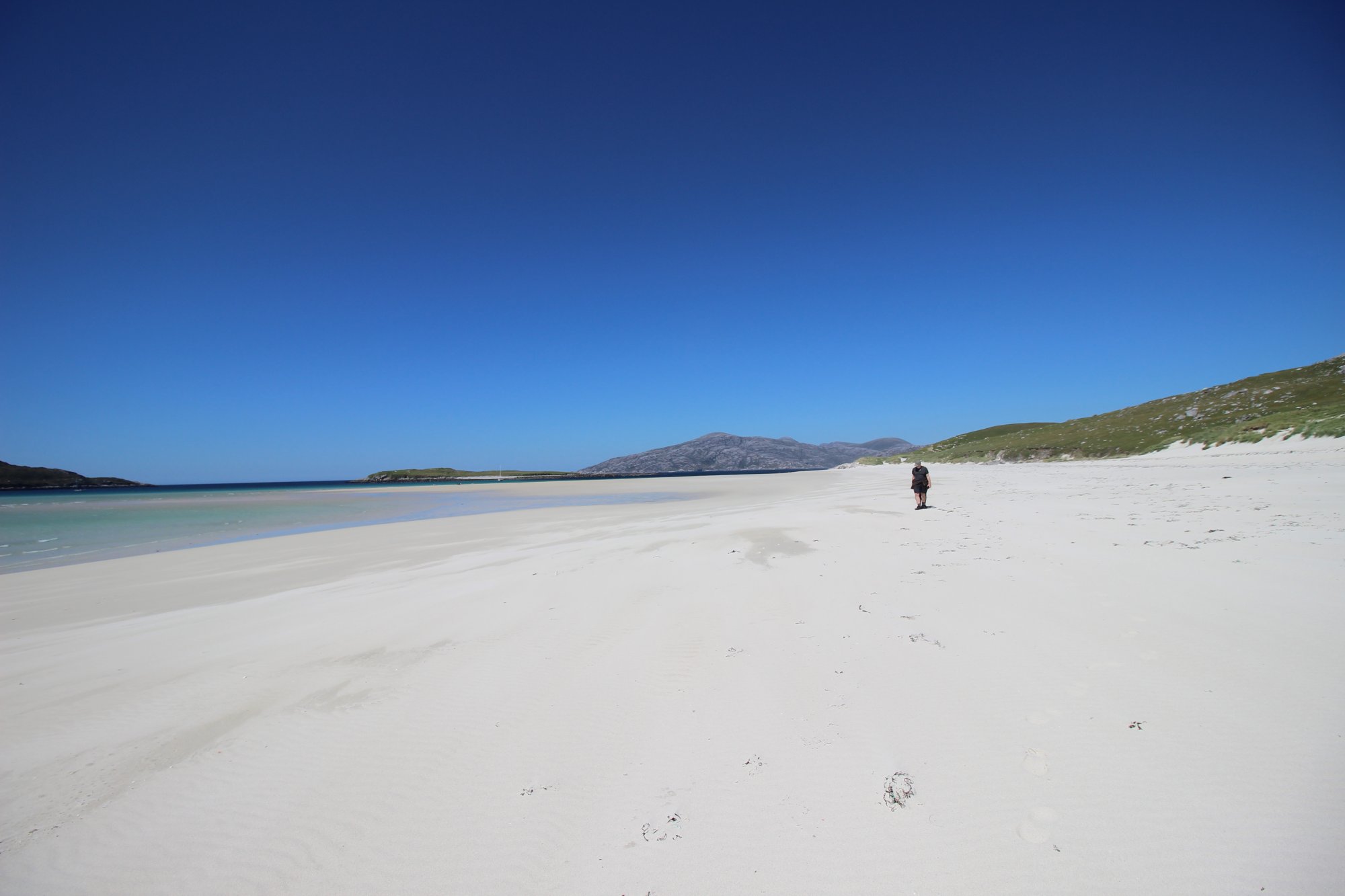
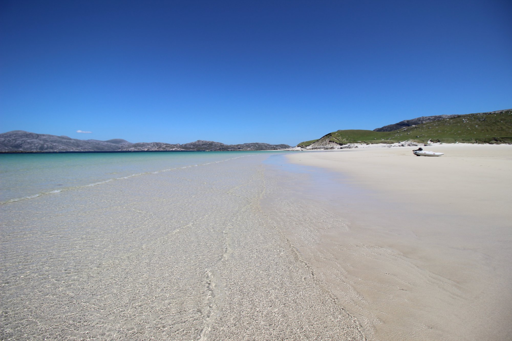
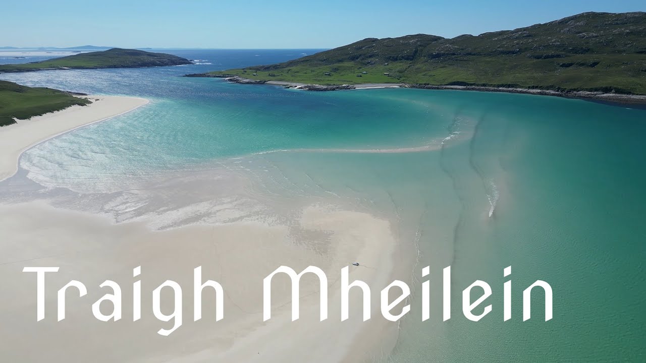
Tucked away at the absolute northwestern edge of the Isle of Harris, Tràigh Mheilein and Huisinis Beach represent two of the most remote, wild, and topographically dramatic coastal environments in the Outer Hebrides. Facing the Atlantic Ocean and the isolated island of Scarp, this rugged peninsula transitions sharply from the rocky, monolithic mountains of North Harris into pristine stretches of fine white shell-sand and vibrant machair meadows. Reaching this isolated outpost requires navigating a long, single-track mountain road that tracks past historic estates and rushing cascades, cutting off the peninsula from the more frequented southern coast of Harris. While the main bay at Huisinis provides immediate, level access to the shore, the journey to the hidden sands of Tràigh Mheilein requires an advanced foot traverse across steep, exposed maritime cliffs, offering wilderness purists and long-distance hikers an unparalleled encounter with the raw elements of the Hebridean edge.
The Structural Blueprint: The Sound of Scarp and the Cliff Traverse
The physical footprint of the northwestern Harris coastline is defined by extreme glacial scouring, severe maritime exposure, and powerful tidal channels, dividing the peninsula into distinct topographical zones:
- The Accessible Reach of Huisinis Bay: Serving as the termination point for the overland mountain road, Huisinis Beach is a sweeping, westward-facing arc of pale sand. The bay is framed by low-lying headlands and extensive machair dunes. Because it is partially sheltered by the larger landmass of Scarp to the northwest, the water entry here is remarkably progressive and calm compared to the open Atlantic strands, making it the primary safe swimming zone on the peninsula.
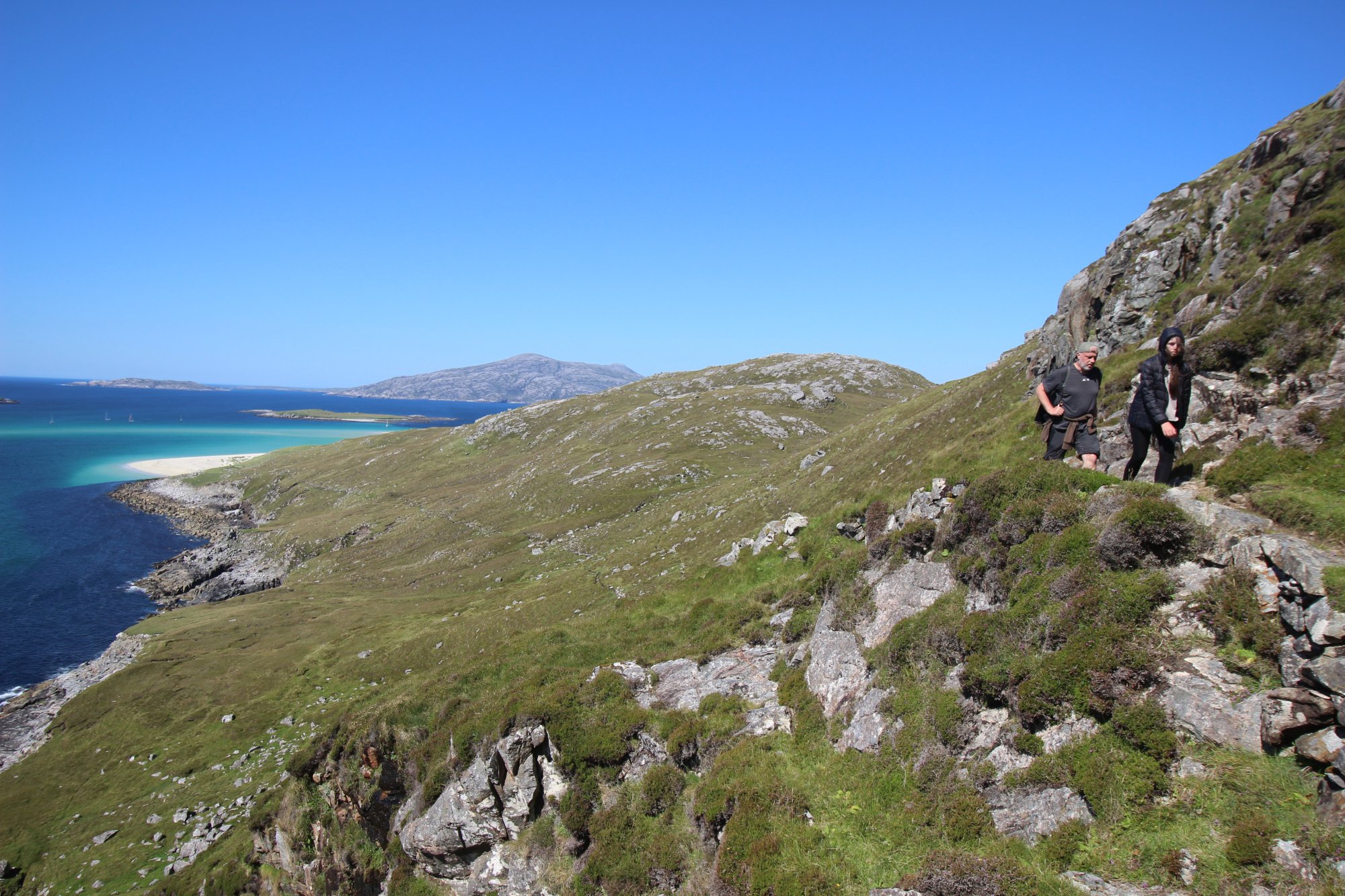
- The Exposed Traverse to Tràigh Mheilein: Located roughly a mile and a half north of the road end, Tràigh Mheilein sits completely hidden from view behind the mass of Cleit Huisinis. Accessing this pristine strand requires a demanding foot path that climbs high onto the hillside and traverses a steep, severely exposed coastal slope. The trail narrows to a thin track carved into the rock, where sheer vertical drops plunge straight down into the sea, requiring steady footing and careful route-finding.
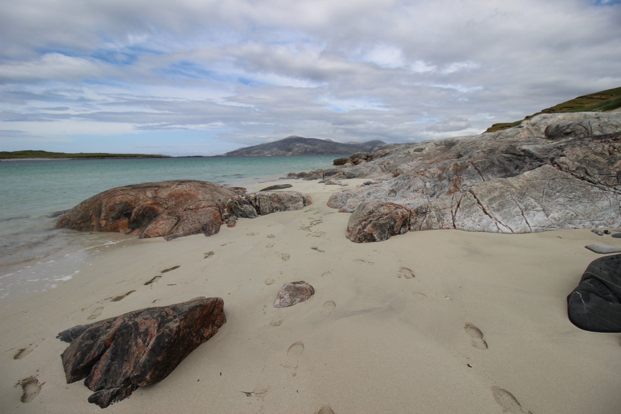
- The Sound of Scarp and Alpine Backdrops: Tràigh Mheilein directly faces the dramatic, abandoned island of Scarp across a narrow, half-mile marine channel. To the east, the beach is framed by the massive, rocky peaks of the North Harris hills, creating an extraordinary natural amphitheater where high alpine mountain topography drops vertically into crystal-clear turquoise waters.
The Trail Blueprint: Mountain Road Logistics and Peninsula Staging
Conquering the trails of the Huisinis peninsula requires careful vehicle management, awareness of terrain conditions, and self-sufficient planning:
- The B887 Single-Track Mountain Access: The journey to the peninsula is an adventure in itself. The 15-mile single-track road twists through a lunar landscape of Lewisian gneiss, scaling steep gradients and tracking directly through the coastal courtyard of the historic Amhuinnsuidhe Castle. Drivers must be highly proficient in utilizing passing places, particularly when encountering local estate traffic or delivery vehicles along the winding, unfenced mountain passes.
- The Huisinis Gateway and Campsite Facilities: At the road’s end sits the Huisinis Gateway, a modern, community-led infrastructure hub. This sustainable facility operates off-grid, utilizing local wind power to provide essential amenities, sheltered seating, and designated parking bays for overnight campervans and day hikers alike. It serves as the vital staging point before launching onto the wilderness paths.
- The Wild Path to Cravadale: For hikers extending their journey beyond the shores of Tràigh Mheilein, a rugged, trackless wilderness line continues north toward the isolated inlet of Loch Cravadale. This extended route tracks over saturated peat hags and trackless moorland rock, requiring waterproof mountain boots with deep rubber lugs and excellent map-and-compass navigation skills to bypass deep bog basins.
Marine Hazards, Atlantic Weather, and Environmental Safety
The remote maritime position of North Harris creates a highly volatile environment where natural factors directly impact visitor safety on the shore and hills:
- Unpredictable Currents in the Sound of Scarp: While the white sands of Tràigh Mheilein look deceptively peaceful, swimming or wading deep into the water is highly discouraged. The narrow channel separating Harris from the Isle of Scarp acts as a powerful tidal choke point, funneling massive volumes of Atlantic water back and forth during tidal shifts. These underwater currents are invisible from the surface and can easily overwhelm the strongest swimmers.
- Cliff Edge Instability and Exposure: The high traverse path leading to Tràigh Mheilein is highly vulnerable to coastal erosion and severe wind gusts funneling off the Atlantic. During periods of heavy rain or high winds, the muddy paths and wet grass slopes become exceptionally slick. Walkers must exercise extreme caution along the exposed cliff sections, checking weather forecasts beforehand to avoid being caught on the narrow ledges during sudden sea gales.
- Remote Navigation Security: Mobile digital signals are highly unreliable across the northwestern valleys of Harris, with reception dropping completely behind the mass of the mountain ridges. Anyone exploring the paths toward Tràigh Mheilein or Cravadale must carry traditional physical topographic maps and a magnetic compass, rather than relying entirely on digital devices for route security.