



The Twin Strands of Eoligarry: Navigating the Tidal Runway of Traigh Mhòr and the Atlantic Surf of Traigh Eais
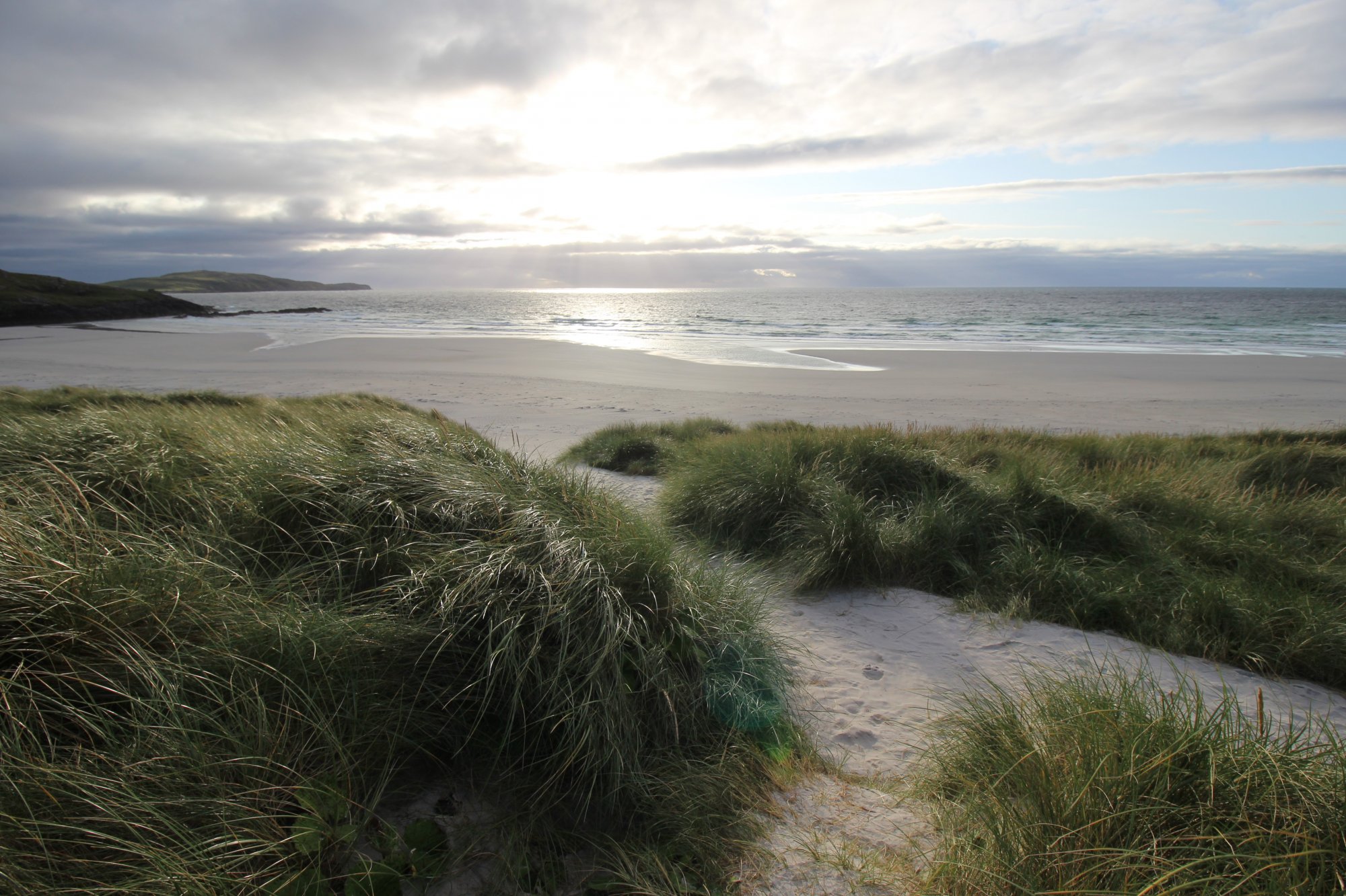
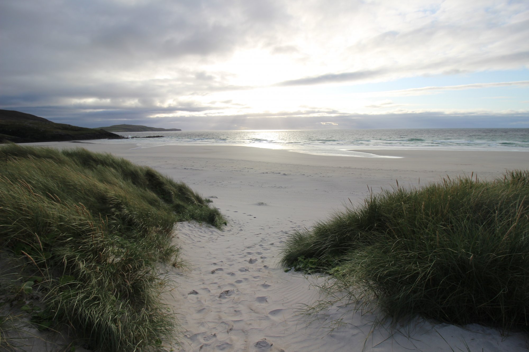
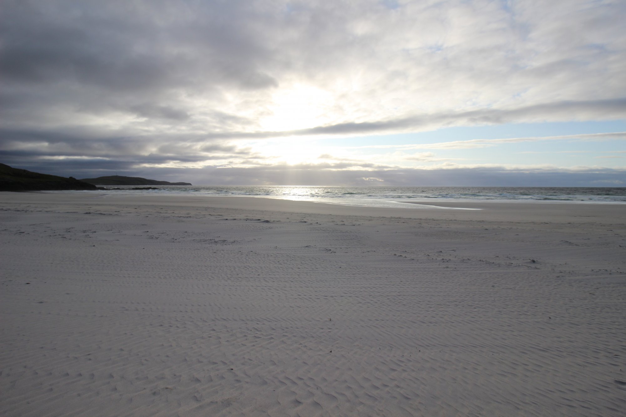
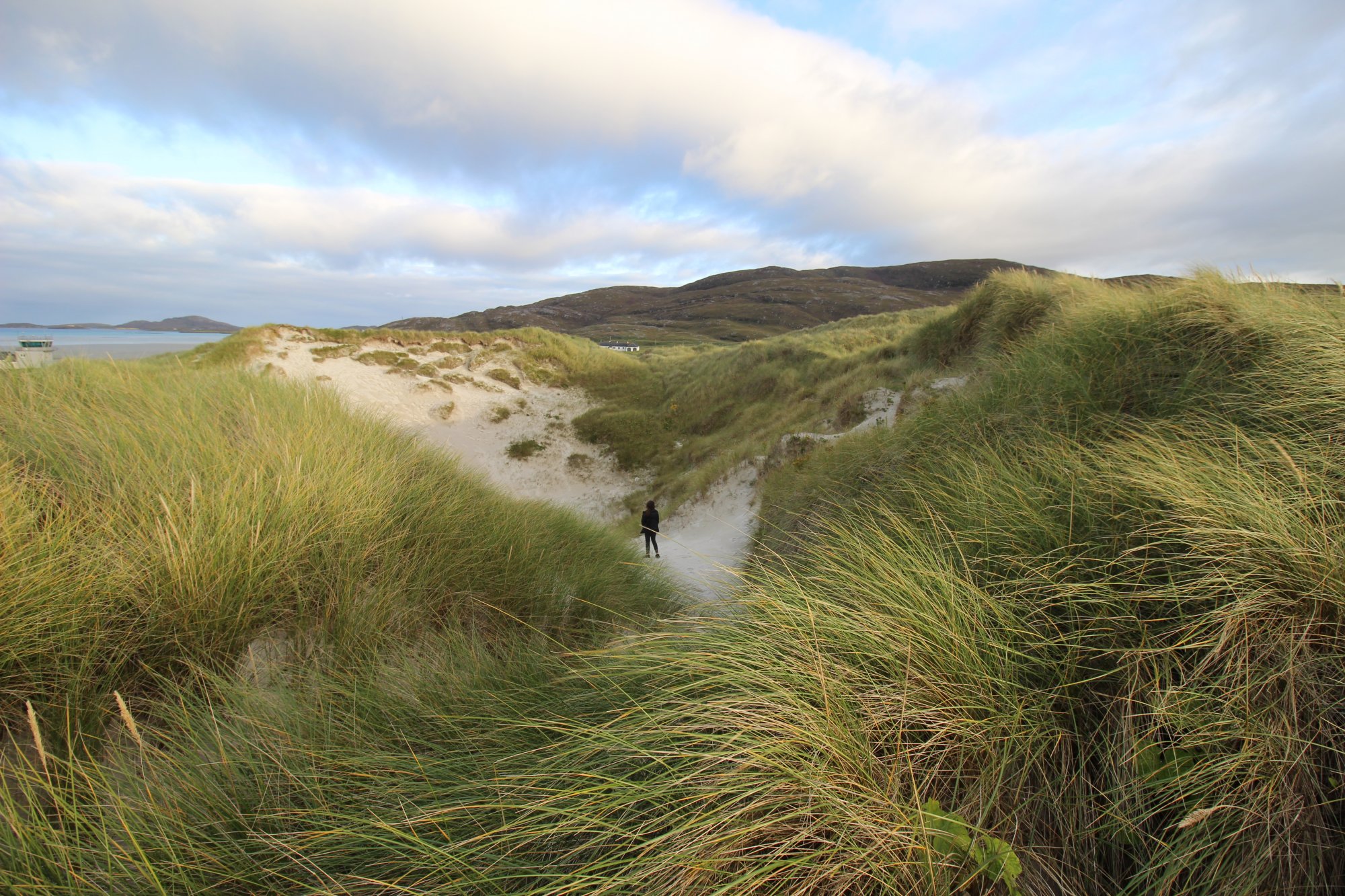
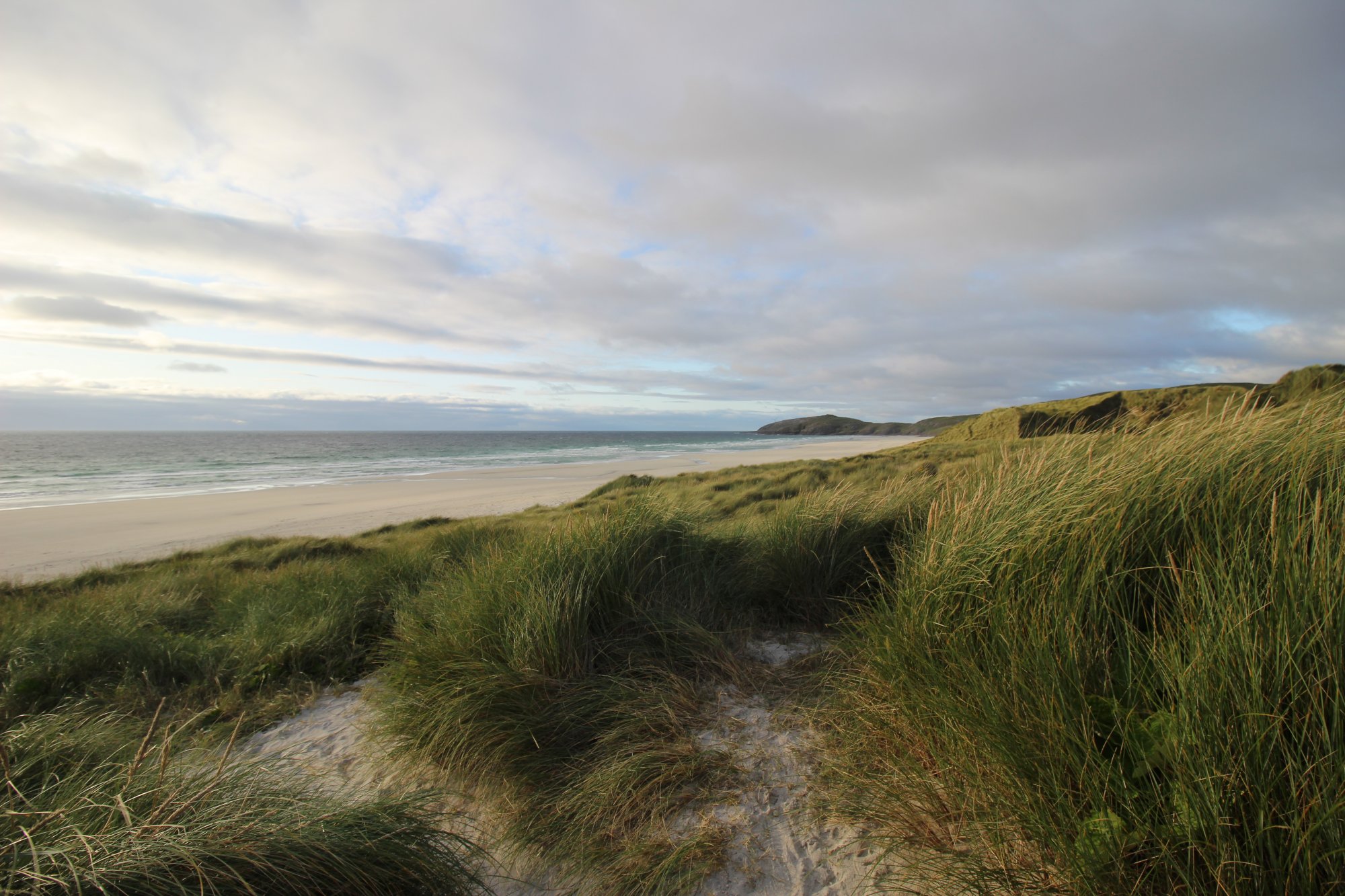
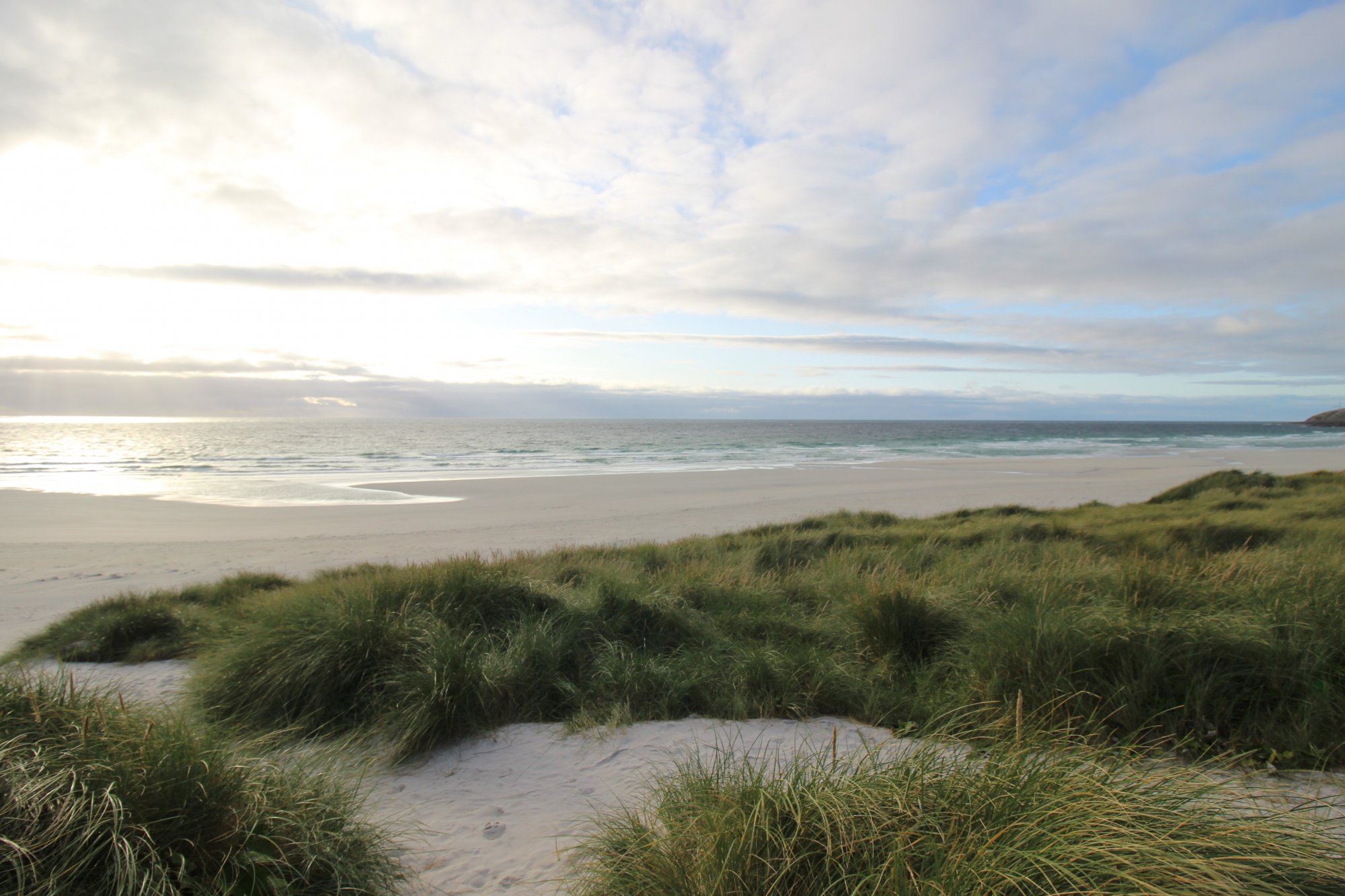
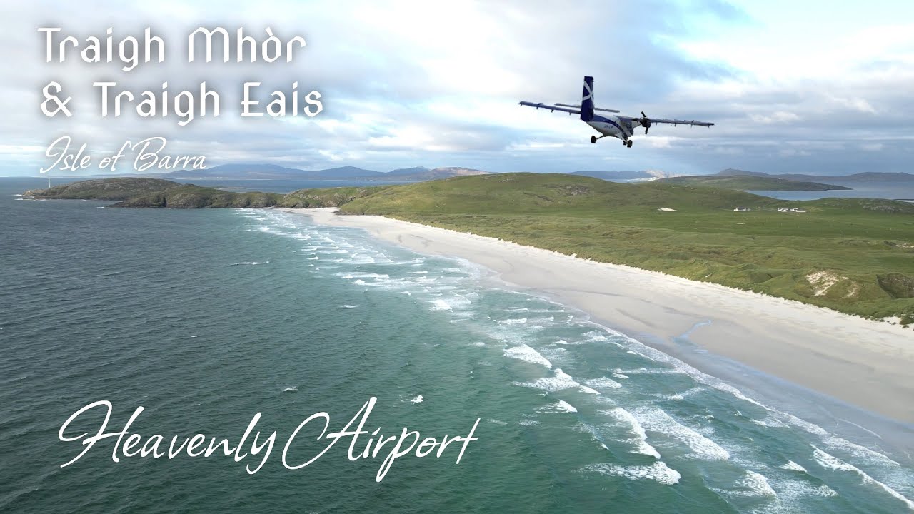
Separated by a mere ribbon of shifting sand dunes on the northern tail of the Isle of Barra, Traigh Eais and Traigh Mhòr stand as one of the most geographically extraordinary and dynamic coastal pairings in the Outer Hebrides. Occupying the narrow isthmus that connects the main body of Barra to the northern Eoligarry peninsula, these two immense beaches present a radical study in environmental contrast. To the east lies Traigh Mhòr (The Big Beach), a vast, intertidal expanse of white cockleshell sand that stays protected from open ocean swells by the surrounding islands of the sound. To the west, across a 200-meter ($650 ext{ feet}$) threshold of high machair hills, lies Traigh Eais—a wild, mile-long arc of sand completely exposed to the unyielding force of the North Atlantic. Together, these strands form a world-class geographic landscape where marine topography, maritime wilderness paths, and unique aviation infrastructure collide.
The Coastal Blueprint: The Beach Runway and the Atlantic Wall
The physical footprint of the Eoligarry isthmus is defined by its split personality, balancing a globally unique aviation hub against a raw, high-energy surf ecosystem:
- The Intertidal Runway of Traigh Mhòr: Traigh Mhòr is world-famous as the home of Barra Airport, the only destination globally where scheduled commercial flights land directly on a tidal beach. The shallow, sheltered bay creates a perfectly level plain of hard-packed cockleshell sand. Three distinct runways are marked out on the sand by wooden stakes, allowing Twin Otter aircraft to land into the wind from any direction. Because the entire airfield is swallowed twice a day by the rising tide, flight timetables are completely dictated by the lunar cycle rather than rigid clock hours.
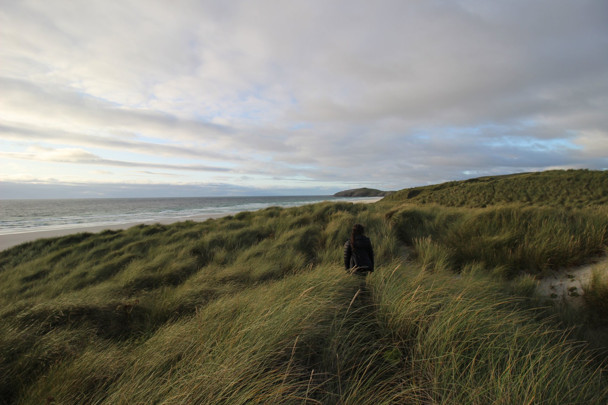
- The Exposed Surf Arc of Traigh Eais: In stark contrast to the calm shallows of the eastern flats, Traigh Eais catches the full momentum of the Atlantic Ocean. Even during periods of light summer breezes, massive groundswells break continuously along its shoreline. This high-energy wave action has carved a deep, sloping beach profile backed by an imposing wall of maritime dunes. These grassy hills are among the highest sand structures in the region, shaped by fierce winter gales that funneled sand straight across the narrow neck of the island.
- Eoligarry Sands (Traigh Cille Bharra): Located roughly half a mile north of the airfield terminal, this secondary sheltered strand faces northeast. It offers a tranquil alternative to the active runways and the heavy Atlantic surf, characterized by shallow turquoise waters and rich machair meadows that bloom with wildflowers during the summer months.
The Trail Blueprint: Runway Closures, Cycling Logistics, and Safety Paths
Exploring the northern peninsula of Barra requires careful attention to active aviation boundaries, tide tables, and local transport frameworks:
- Airfield Access and Drone Safety Windows: While Traigh Mhòr is a public beach, it functions as an active, strictly regulated airport during operating hours. Walking across the sands, searching for cockles, or swimming is strictly prohibited while the airport's orange windsock is raised, signaling incoming or departing aircraft. Once flight operations conclude for the day and the windsock is lowered, the beach reverts to a public space. Unmanned Aerial Vehicle (drone) operators must strictly adhere to these operating windows, ensuring no flight activity takes place while the airspace restriction zone is active.
- Island Transport and Bike Logistics: Because Barra is compact, exploring the Eoligarry peninsula is highly manageable without a car. Visitors arriving via the scheduled flights from Glasgow can step directly from the sand runway into the terminal building, where bicycle rentals provide an efficient, self-sufficient means to tour the island’s single-track loop roads.
- Arrival Logistics and Staging Areas: Staging for both beaches is managed via the main airport terminal parking field or a smaller coastal lay-by located at the northern edge of the isthmus near the historic ruins of Cille Bharra. Both points offer immediate foot access to the sand. While Barra's remote Hebridean location prevents mass tourist overcrowding, parking spaces near the terminal can fill steadily during flight arrival windows, making it wise to timing visits outside of scheduled landing times if looking for absolute solitude.
Marine Hazards, Topographic Vulnerabilities, and Environmental Safety
The contrasting marine environments of the isthmus create localized safety challenges that walkers and swimmers must respect:
- Rip Currents and Undercurrents at Traigh Eais: Due to its fully exposed western aspect, Traigh Eais is prone to severe, high-velocity rip currents and strong undertows. The heavy shorebreak can easily knock over wading walkers, and swimming is highly discouraged for anyone without advanced open-ocean training and cold-water gear.
- Rapid Tidal Flooding on the Runway Flats: When walking out onto the vast sand flats of Traigh Mhòr during low tide, visitors must maintain constant situational awareness. Because the beach is exceptionally flat, the incoming tide does not advance as a slow wave; instead, it floods the shallow channels rapidly, which can easily cut off unaware walkers from the main shoreline.
- Dune Conservation and Sand Displacement: The massive dune system separating the two beaches is highly fragile. Walking up the steep, sandy faces of the dunes causes rapid displacement of the sand and destroys the marram grass roots that prevent the entire isthmus from eroding away. Visitors must strictly utilize the established gaps and designated livestock paths to cross between the two coastlines safely.