



The Fortress of Kintail: Traversing the Forcan Ridge, Glacial Hanging Valleys, and Alpine Exposure of The Saddle
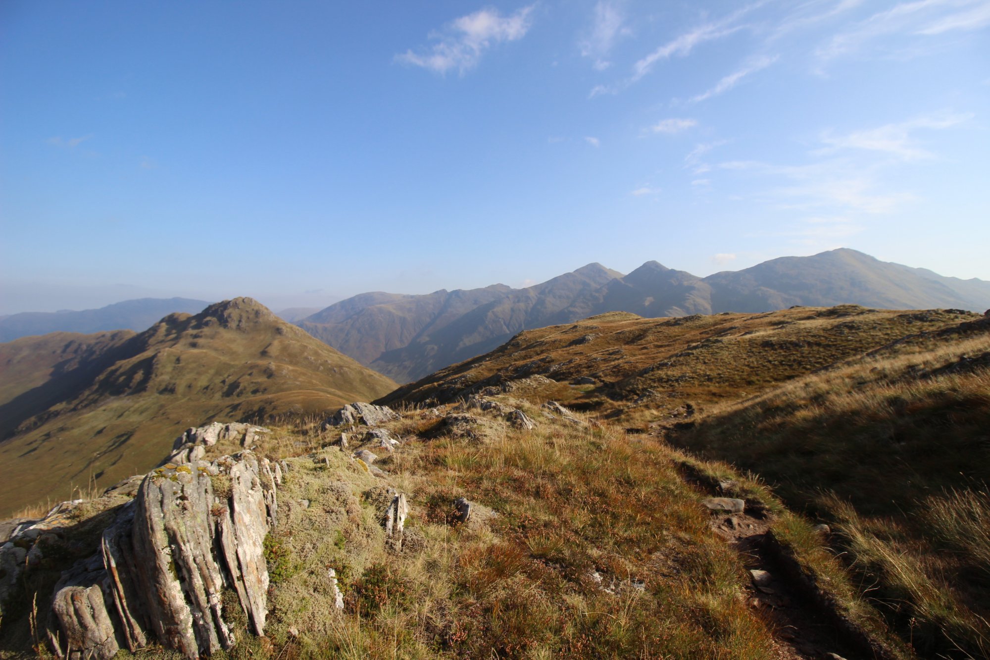
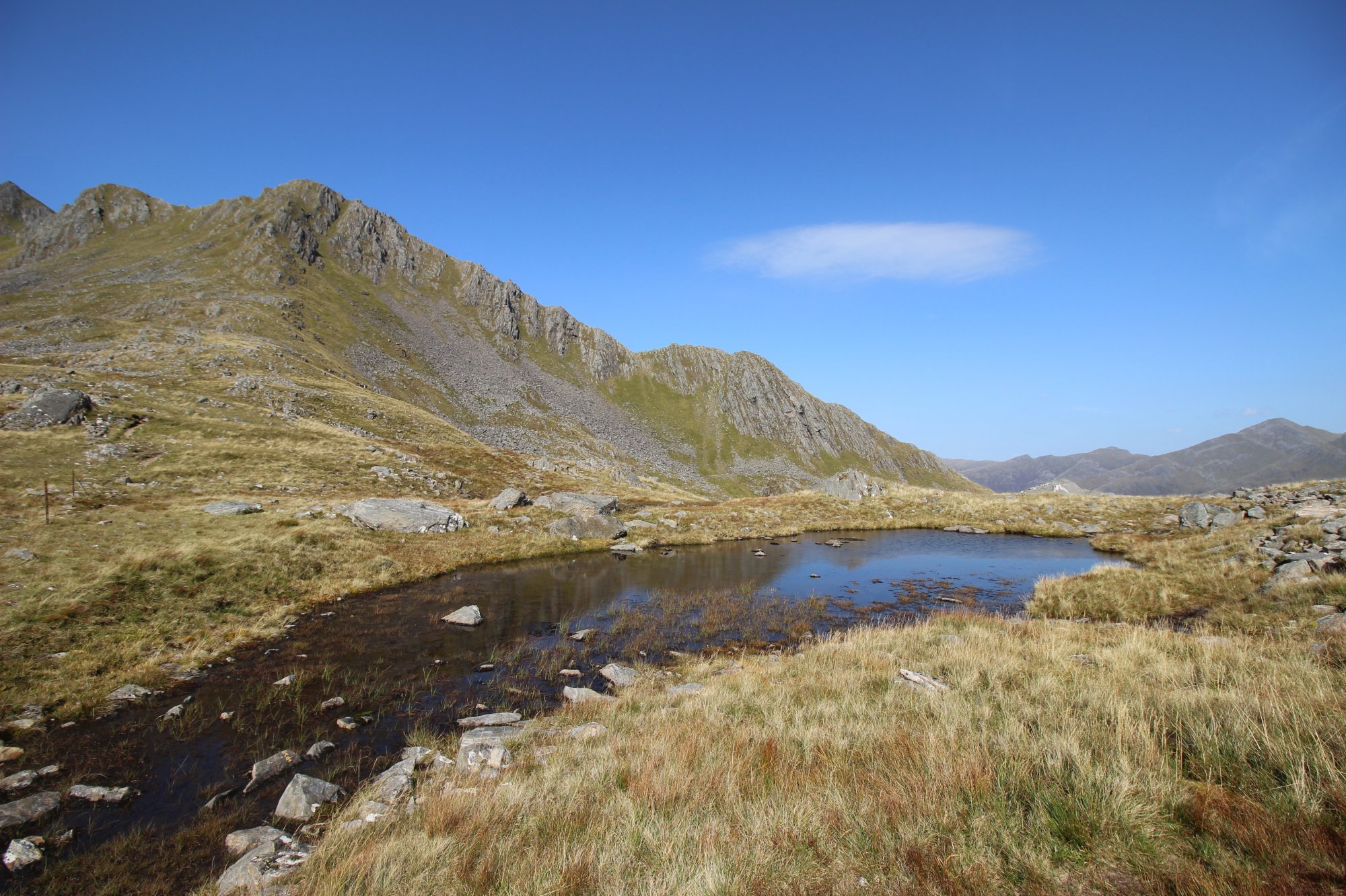
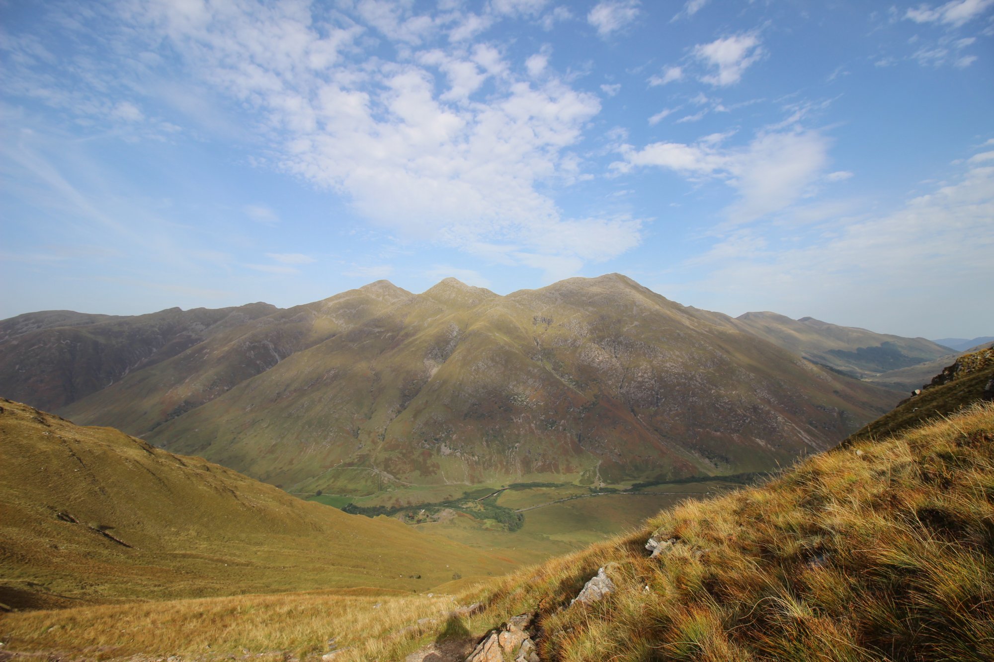
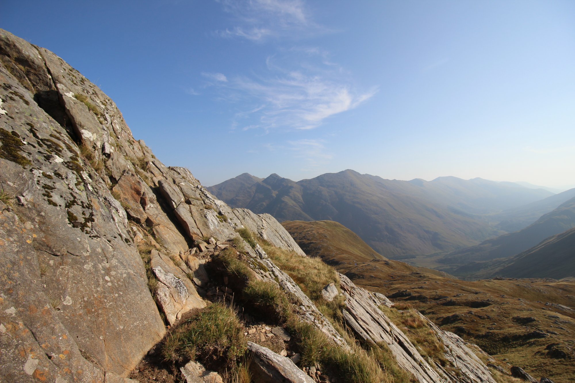
Towering as an impregnable wall of shattered rock above the deep glacial trough of Glen Shiel, [The Saddle](http://googleusercontent.com/map_location_reference/0) stands as one of the most formidable and architecturally magnificent mountaineering objectives in the Northwest Highlands. Rising to an absolute elevation of 1,010 meters ($3,314 ext{ feet}$), this legendary Munro dominates the western skyline of [Kintail](http://googleusercontent.com/map_location_reference/2). Its distinctive name is derived from the sweeping, saddle-shaped high plateau suspended between its twin summit crests. Unlike the smoother, grassy slopes found in the southern Highlands, the eastern approach to this mountain is guarded by the infamous Forcan Ridge—a razor-sharp, exposed rock arete that demands sustained technical scrambling, steady nerves, and an absolute head for heights. The route offers fell walkers and traditional mountaineers a high-altitude arena defined by complex scrambling obstacles, steep drops, and wilderness isolation.
The Structural Blueprint: The Forcan Ridge and the Double Summits
The physical footprint of The Saddle is characterized by intense post-glacial fracturing and massive vertical exposure, dividing the mountain circuit into three high-intensity sectors:
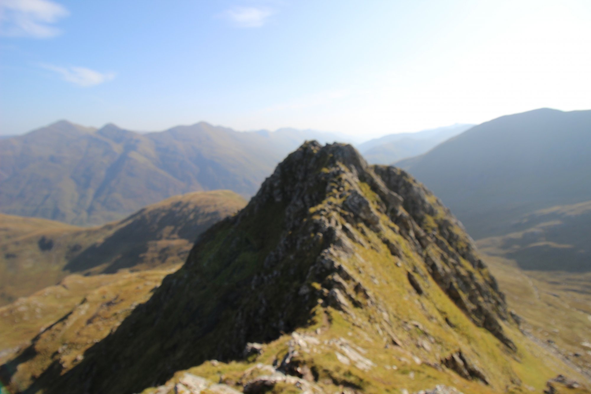
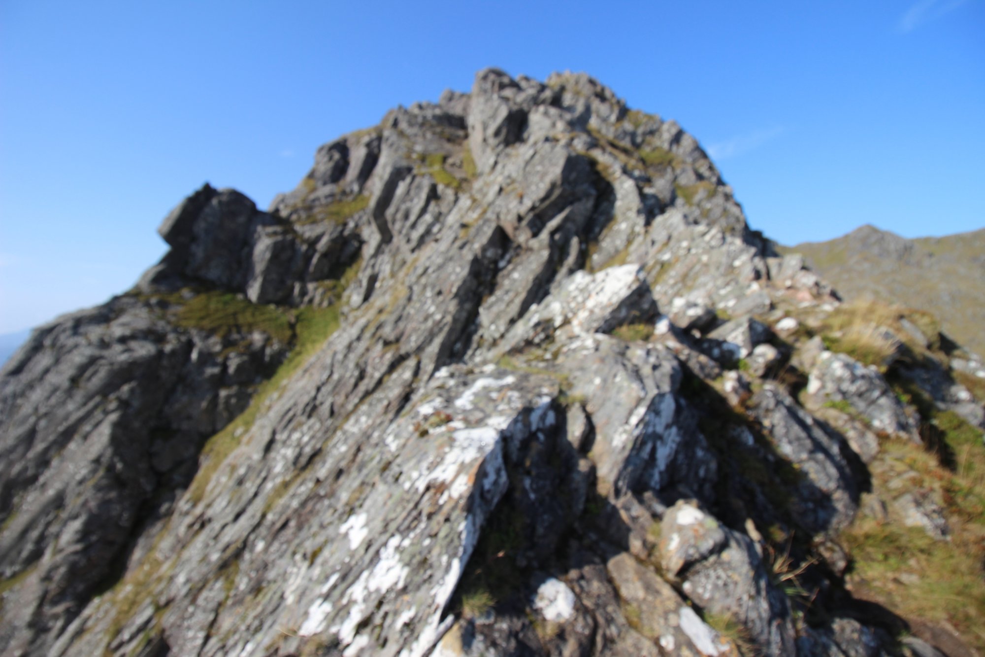
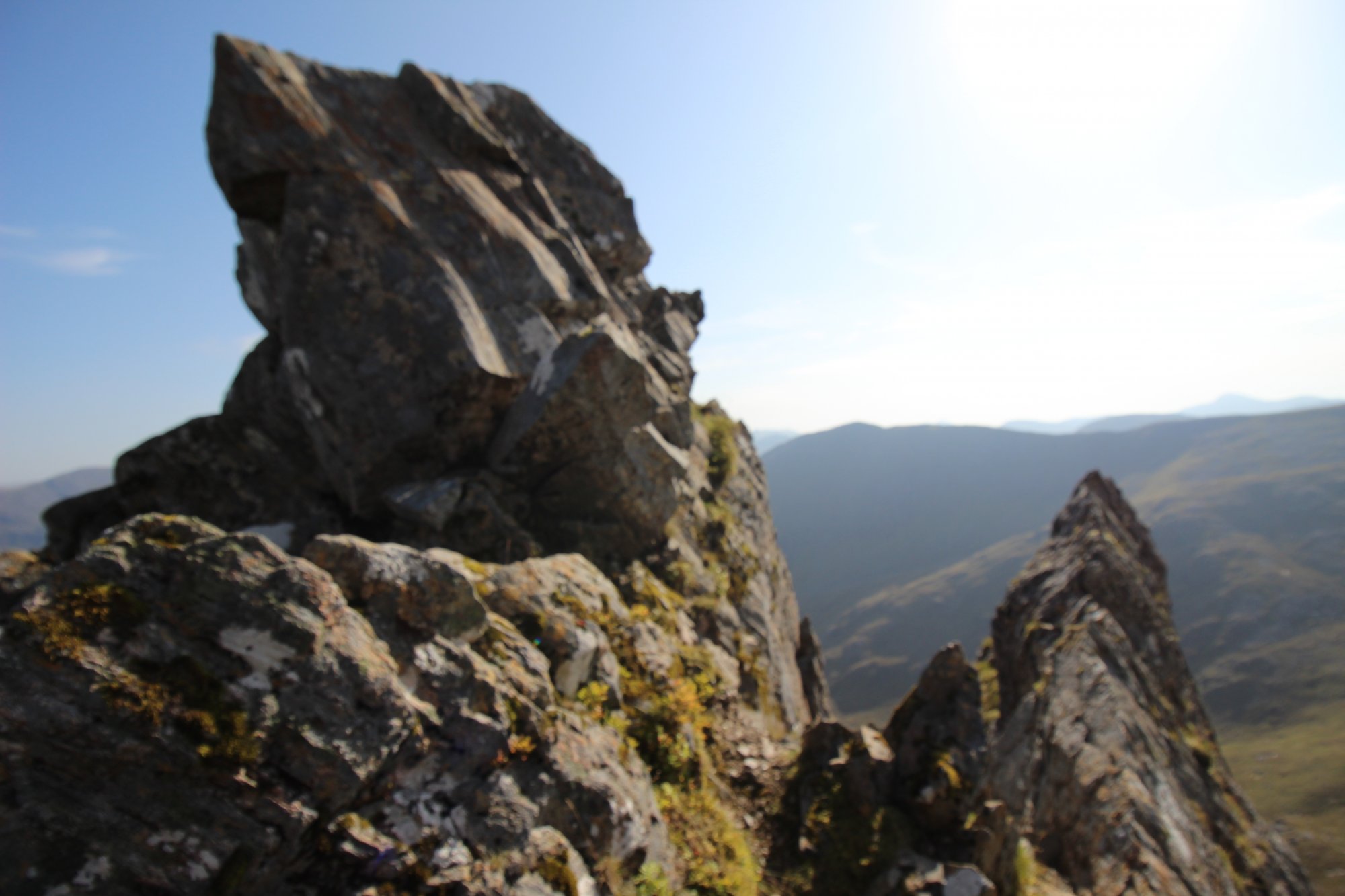
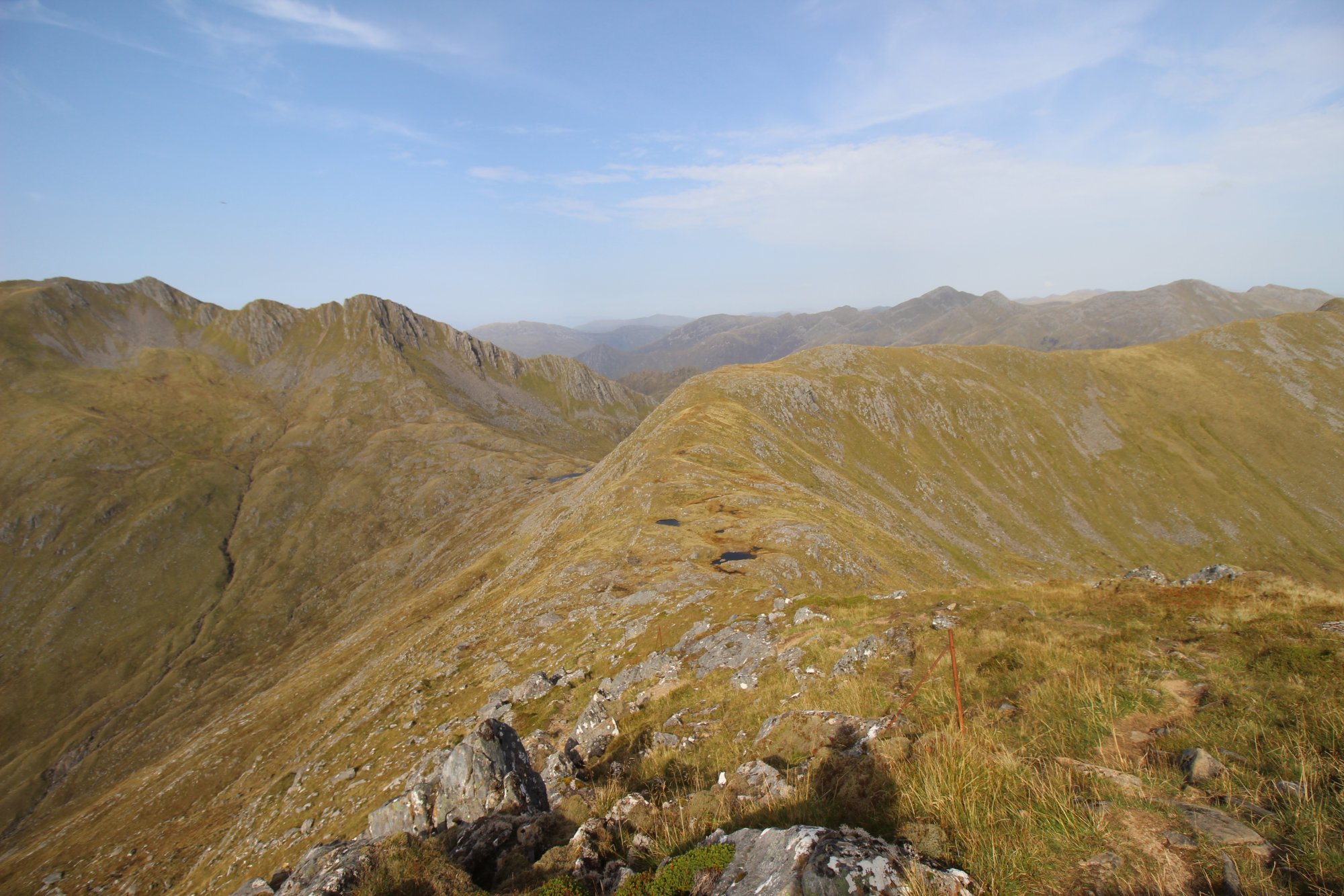
- The Technical Scramble of the Forcan Ridge: The defining feature and physical crux of the ascent is the Forcan Ridge. This narrow, jagged spine of rock tapers to a true knife-edge arete with near-vertical drops plunging hundreds of feet into deep corries on either side. Navigating the ridge requires sustained Grade 1 scrambling over exposed stone ribs, culminating in a nerve-testing, 10-meter ($33 ext{ feet}$) vertical downclimb known as the "bad step," which demands precise foot placement and absolute calm.
- The Twin-Peaked Crown: Beyond the technical scrambling sections, the route breaks out onto the elevated high-altitude plateau. The mountain features two distinct high points: the true western summit, marked by a substantial stone cairn and an ancient trig pillar, and the secondary eastern summit. These twin bastions are connected by a sweeping, high-level ridge line that serves as an exceptional natural viewing platform over the surrounding sea lochs.
- Northwest Highlands Geomorphology: The rock structures of the Shiel ranges are predominantly composed of ancient Lewisian gneiss and heavily contorted schists. This geological matrix creates a highly textured, high-friction surface when bone-dry, but it transforms into an exceptionally slick, grease-like hazard when subjected to typical Atlantic mountain rain, heavy marine mists, or localized winter frosts.
The Trail Blueprint: Glen Shiel Logistics and Staging Areas
Conquering The Saddle requires a sustained, full-day mountain effort, demanding meticulous planning and absolute self-sufficiency regarding transport lines and valley access points:
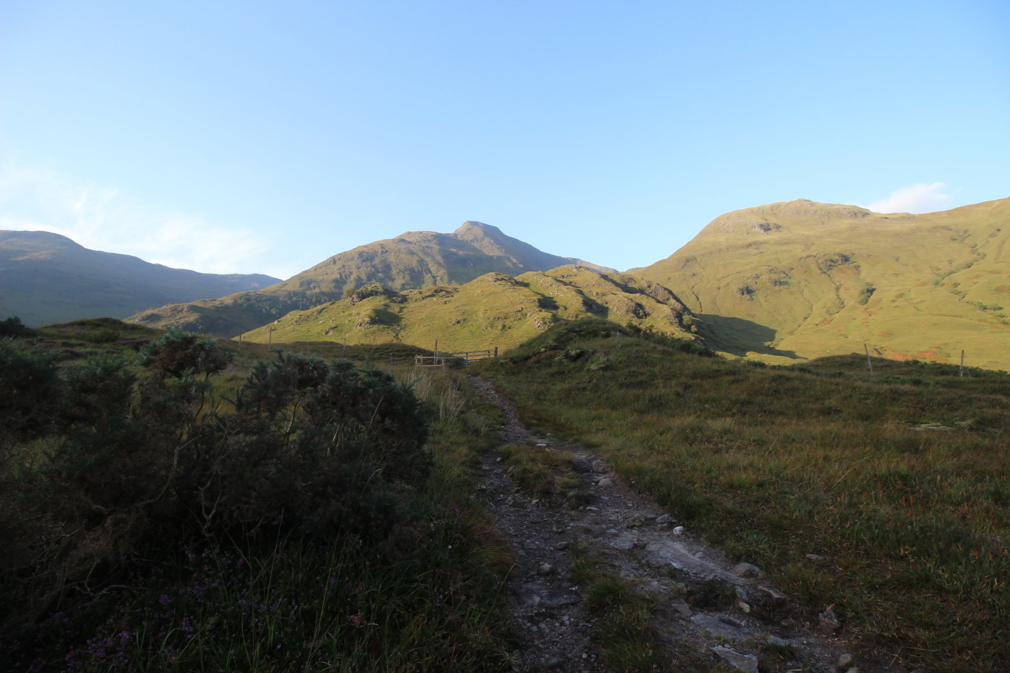
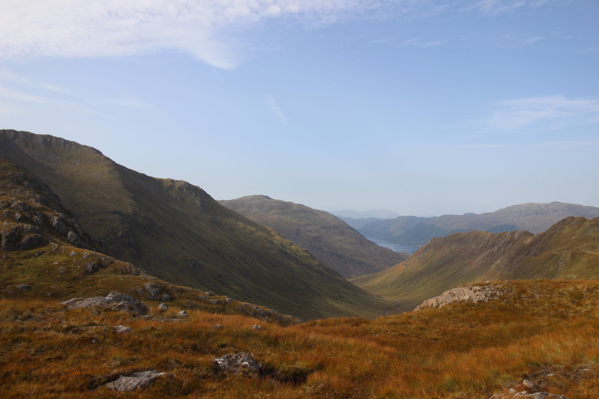
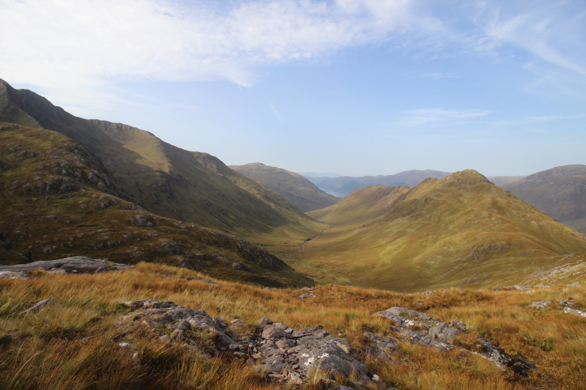
- Route Overview and Ground Conditions: The classic horseshoe circuit covers approximately 8.5 miles ($13.5 ext{ km}$) with a demanding total vertical ascent of 1,300 meters ($4,265 ext{ feet}$). Most experienced hillwalkers require 6 to 8 hours to complete the traverse. The trail begins with a steep, unpaved stalker's path that climbs relentlessly up the rugged slopes of Meallan Odhar before launching directly onto the crest of the Forcan Ridge. The descent route typically tracks through the wild corrie of Choire Chaoil, which features boggy, saturated peat hags and loose scree slopes that require careful navigation.
- Arrival Logistics and Parking Realities: The primary staging hub is a dedicated stone lay-by situated directly along the single-carriageway A87 trunk road in Glen Shiel, located near the historic site of the Battle of Glen Shiel. Because this single valley corridor serves as the primary artery for tourist traffic to the Isle of Skye and provides the gateway for the famous Five Sisters of Kintail, parking spaces are heavily limited. Mountain groups are strongly advised to execute dawn departures to guarantee a parking space and maximize daylight hours for the technical ridge crossing.
Alpine Hazards, Mountain Navigation, and Weather Dynamics
The extreme topography of the Kintail peaks creates a demanding environment where weather shifts and route-finding choice directly impact safety on the hill:
- Wind Shear and Venturi Effects: The open, exposed crest of the Forcan Ridge acts as an uninterrupted aerial barrier, catching high-velocity Atlantic wind gales moving directly off the west coast. The hollow rock vaults and vertical cliffs accelerate these winds, meaning that even moderate valley breezes can manifest as dangerous gusts on the exposed arete, destabilizing a scrambler's balance.
- Navigating the Escape Routes: For walkers encountering sudden summer storms, icing, or a loss of nerve at the foot of the scrambling sections, a steep bypass path skirts below the southern flank of the Forcan Ridge. However, this bypass line tracks over eroded, loose scree and steep grass that can be highly treacherous when wet, making careful foot placement mandatory.
- Compass Traps on the Suspension Plateau: Once the ridge is cleared and the suspension plateau is reached, the terrain turns expansive and disorienting. In heavy mist or sudden whiteouts, navigating between the twin summits requires strict compass bearings. The western drop-offs into Choire Uaine are precipitous, and failing to maintain a precise bearing during the descent toward the stalker's path can easily lead walkers onto dangerous crag steps.