



The Sandstone Spine: Mastering the Ridge Scrambling, Tidal Light, and Technical Trails of Stac Pollaidh
Rising like a jagged, prehistoric spine from the sweeping, lochan-studded moorlands of the Inverpolly wilderness, Stac Pollaidh stands as one of the most visually arresting and geologically significant peaks in the Northwest Highlands of Scotland. Though it stands at a modest elevation of 612 meters ($2,008 ext{ feet}$), disqualifying it from Munro or Corbett status, this Torridonian sandstone monolith punches vastly above its weight in terms of character, technicality, and architectural grandeur. Managed within the spectacular Coigach and Assynt living landscape, the mountain’s highly weathered pinnacles offer some of the finest, high-exposure scrambling in the British Isles. The trail transitions efficiently from a well-engineered circular path into a confusing labyrinth of loose scree and vertical rock towers, creating a high-stakes arena for hillwalkers, mountaineers, and digital travel storytellers.
The Geological Blueprint: Torridonian Sandstone and Pinnacle Labyrinths
The unique, ruiniform topography of Stac Pollaidh is the result of deep time geomorphology, offering a stark contrast to the surrounding Lewisian gneiss platform:
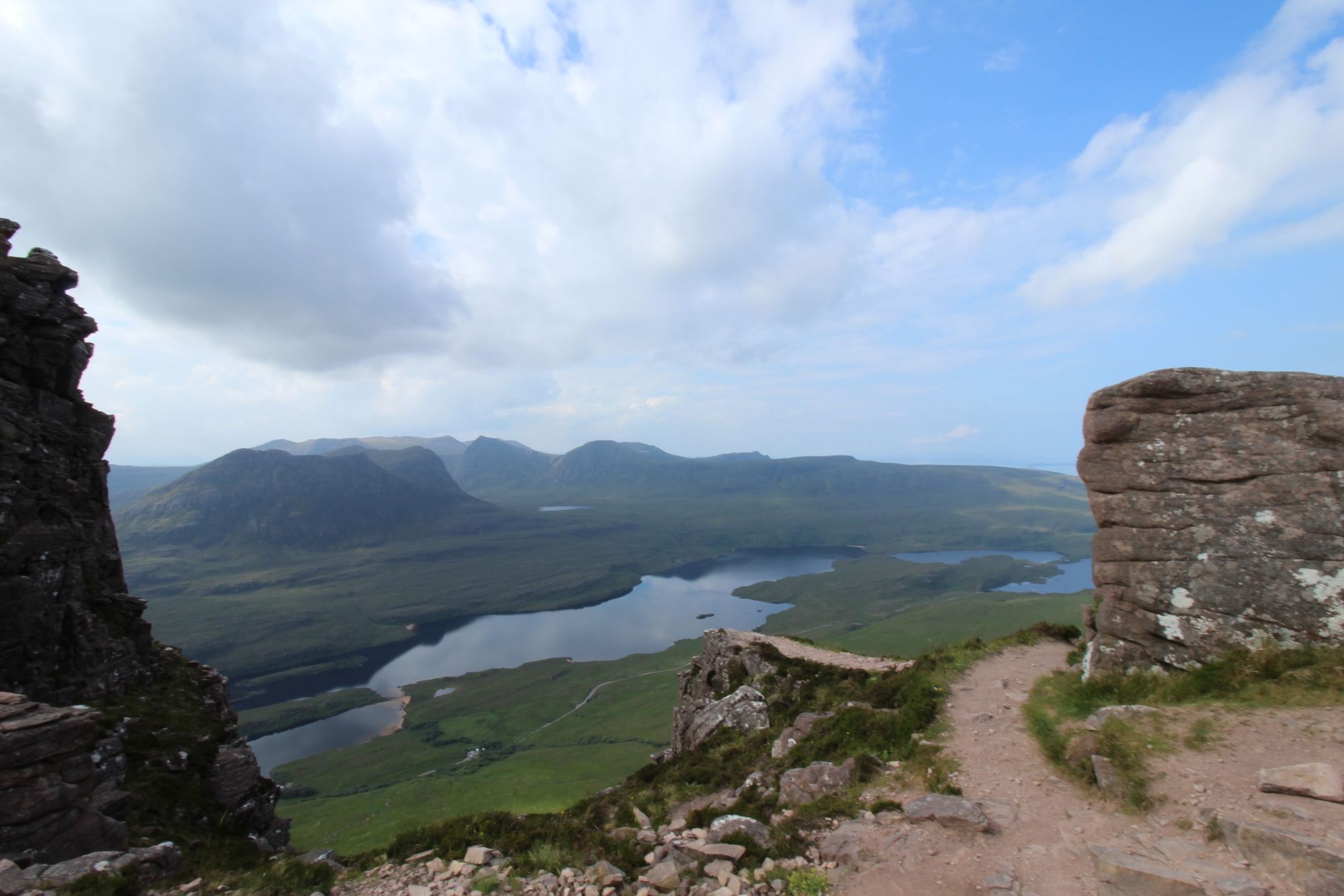
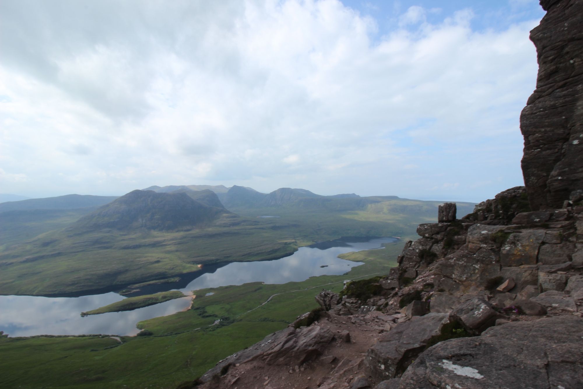
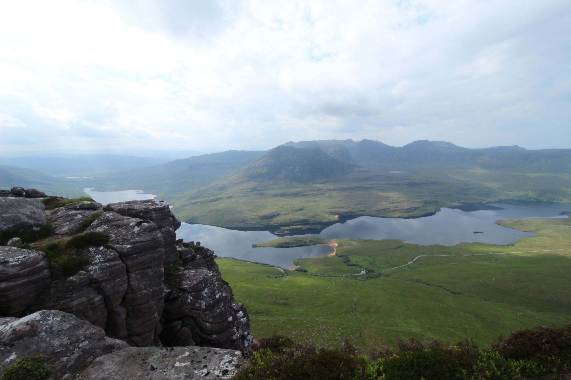
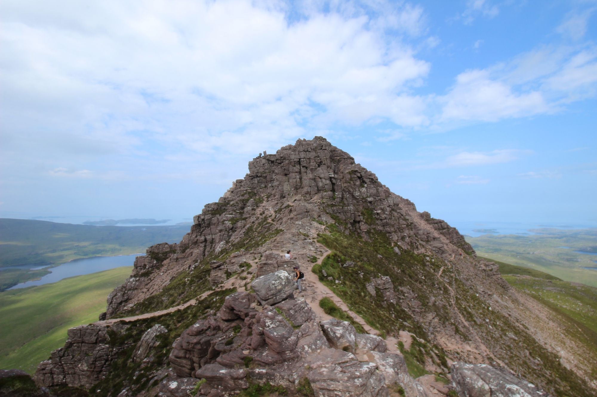
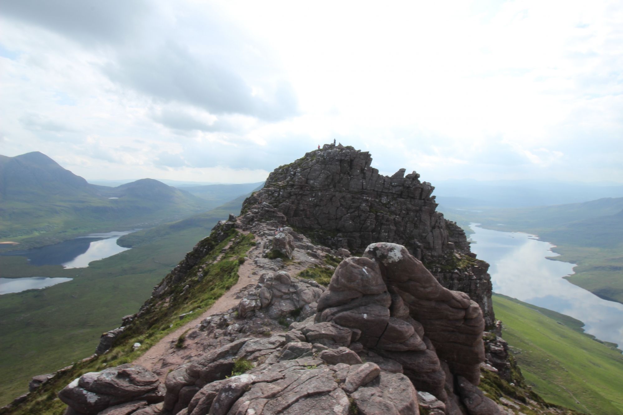
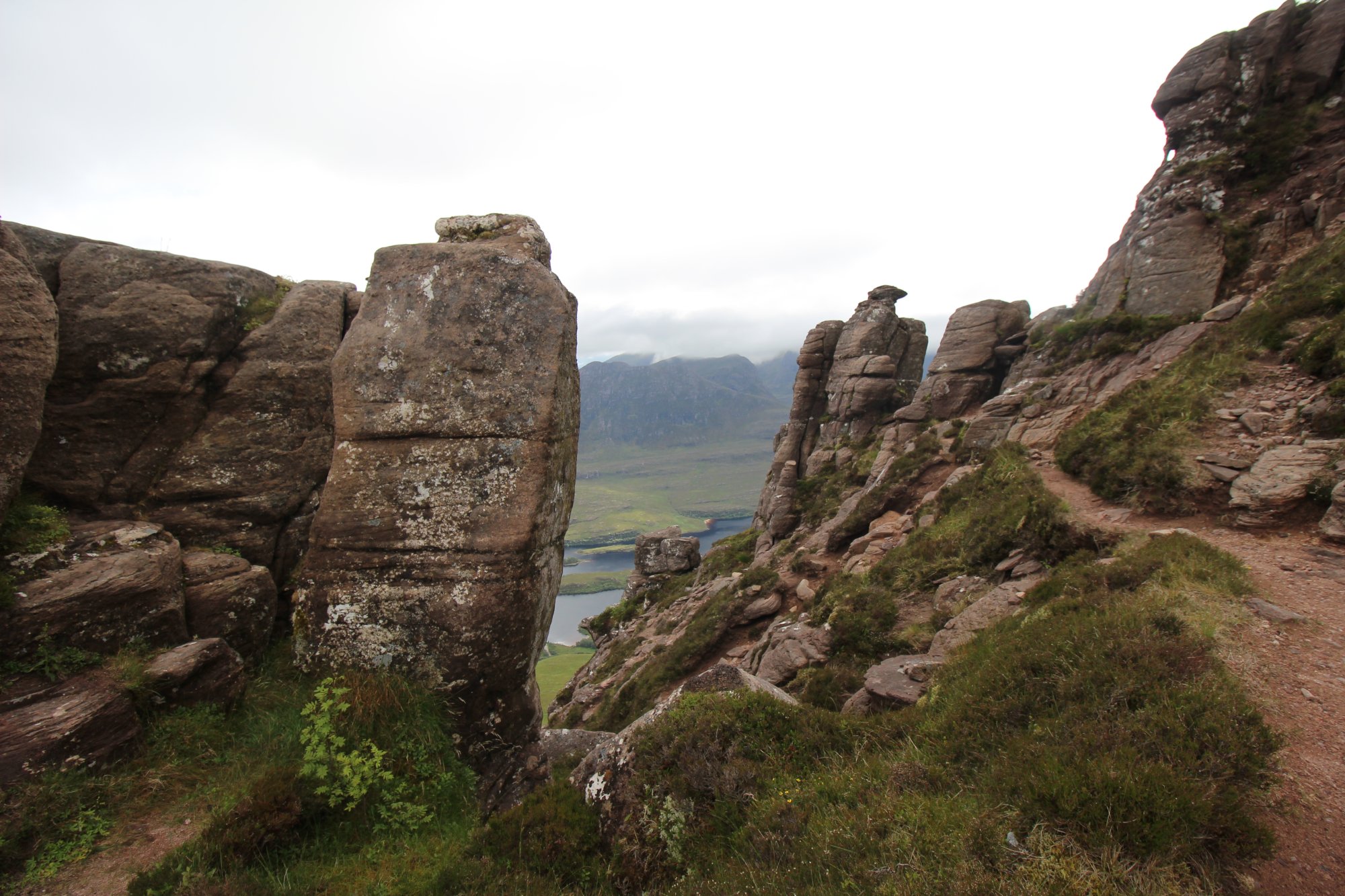
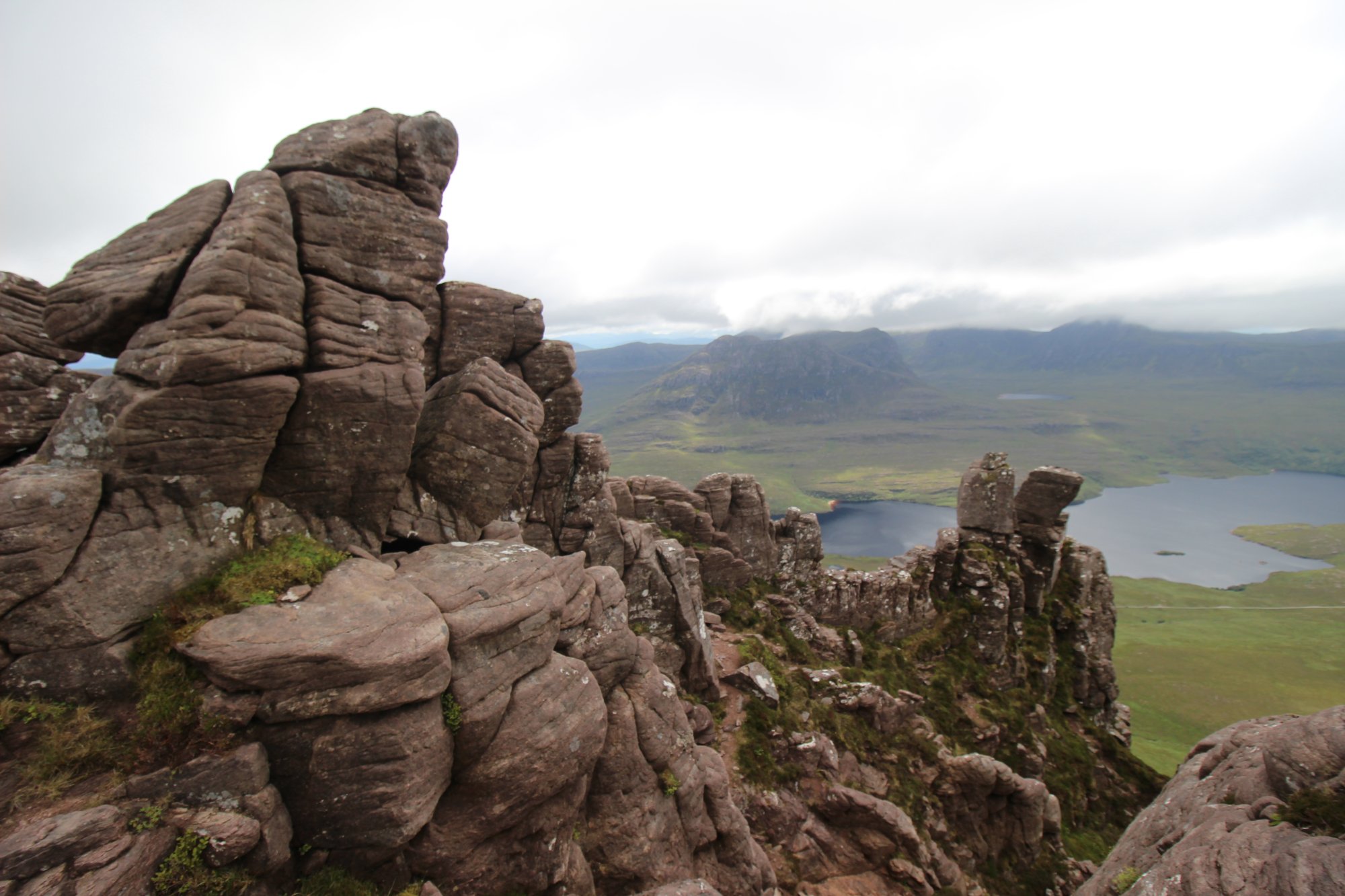
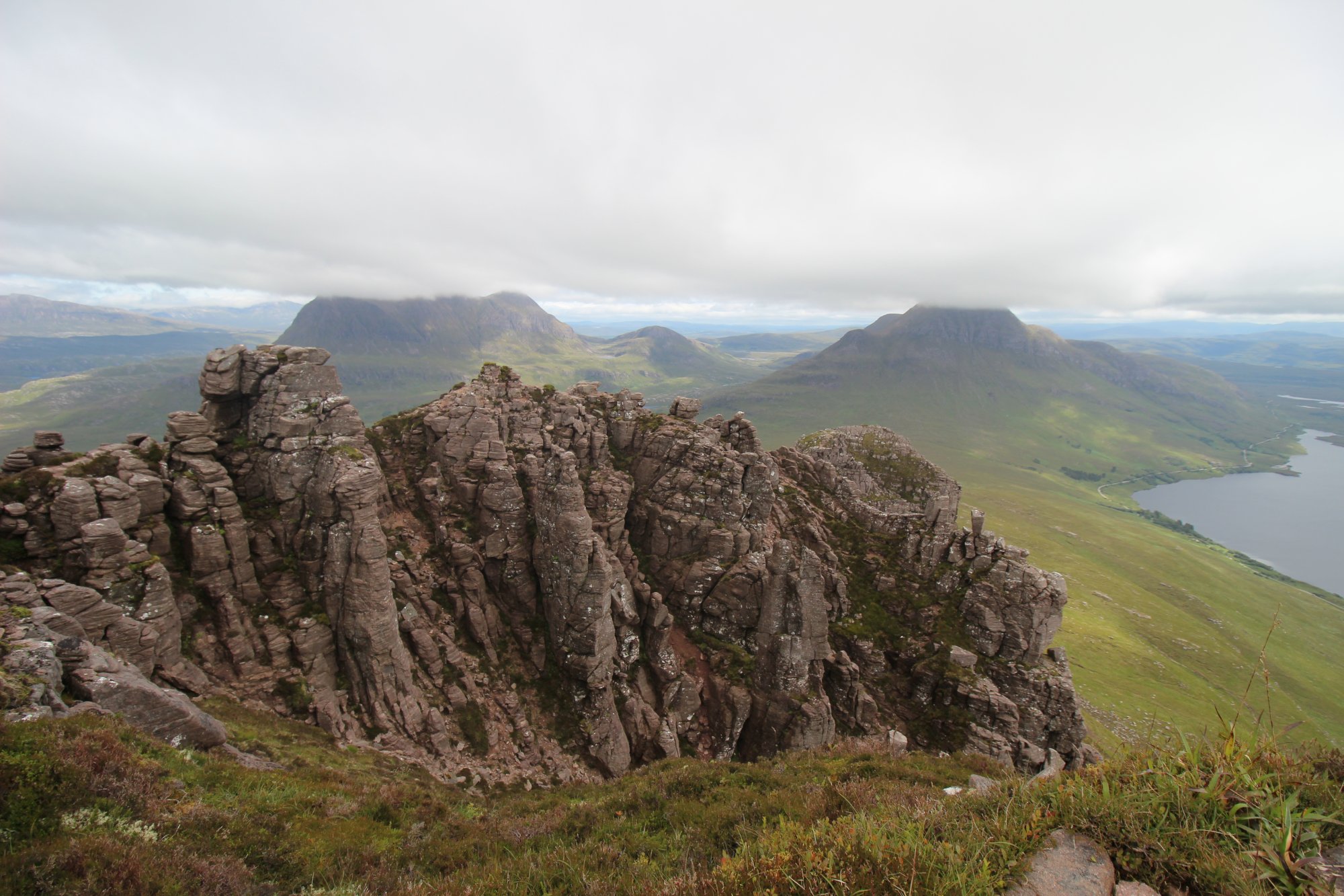
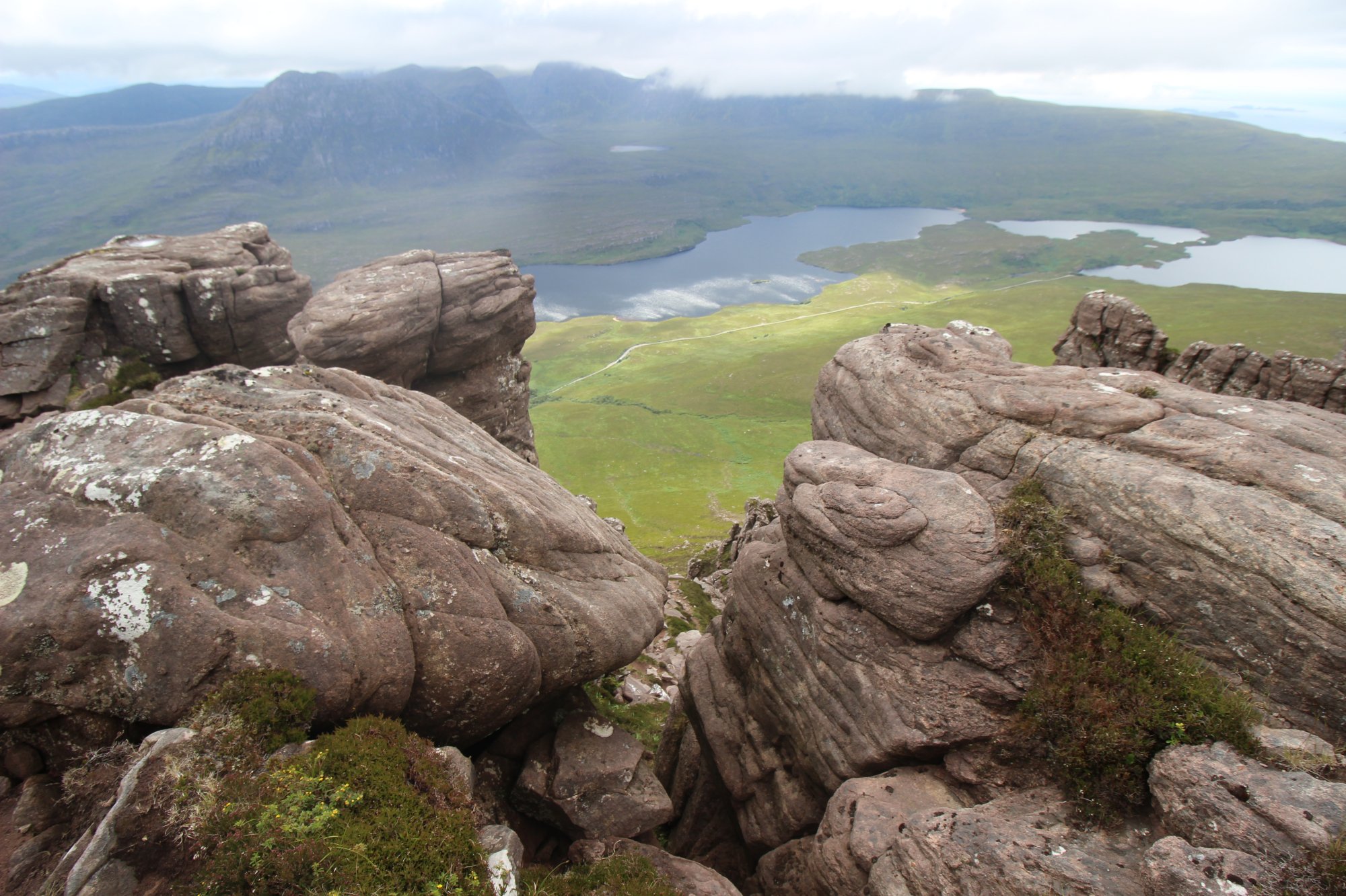
- The Torridonian Sandstone Layering: Composed of ancient, coarse-grained red and brown sandstone deposited over a billion years ago, the mountain is a remnant of a vast sedimentary plateau. Because the sandstone is heavily bedded and cross-fractured, thousands of winters of frost-shattering have carved the upper ridge into an array of isolated towers, minarets, and steep ravines known as "goes."
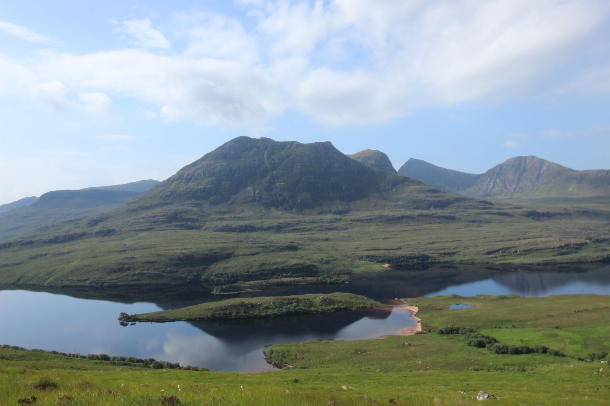
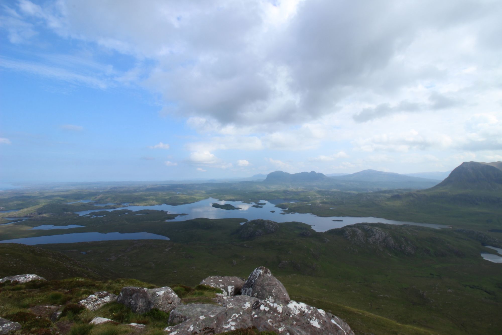
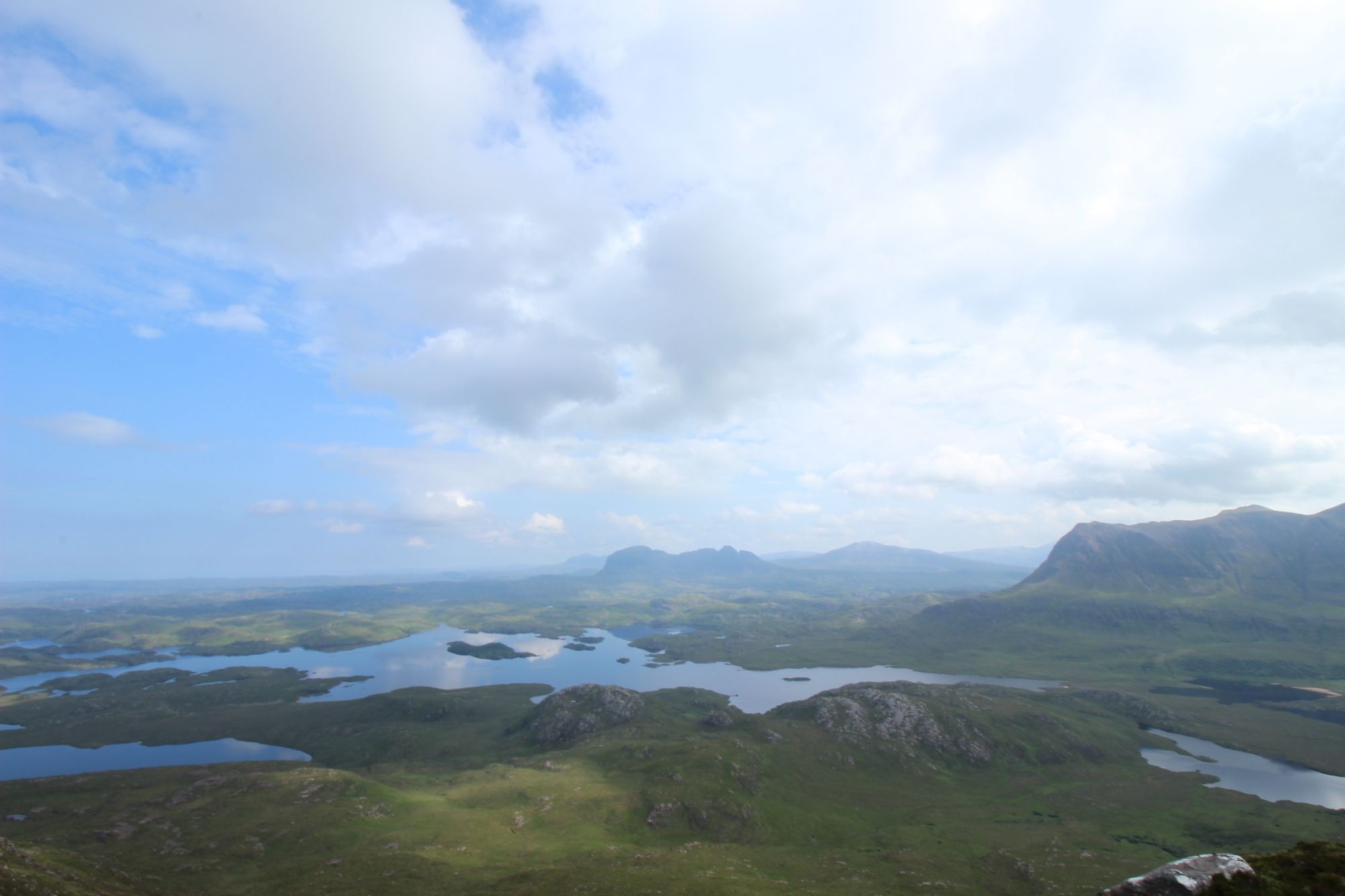
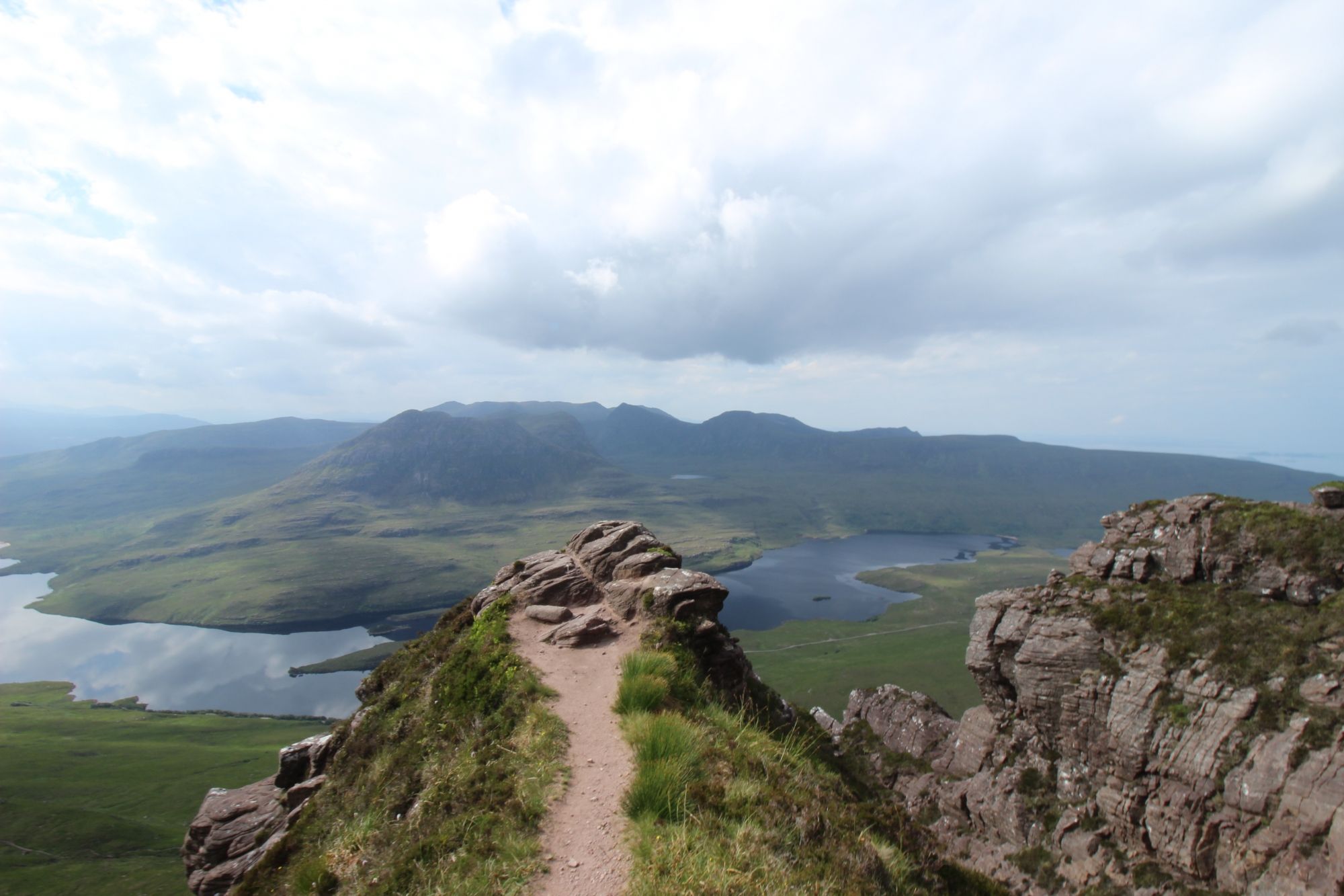
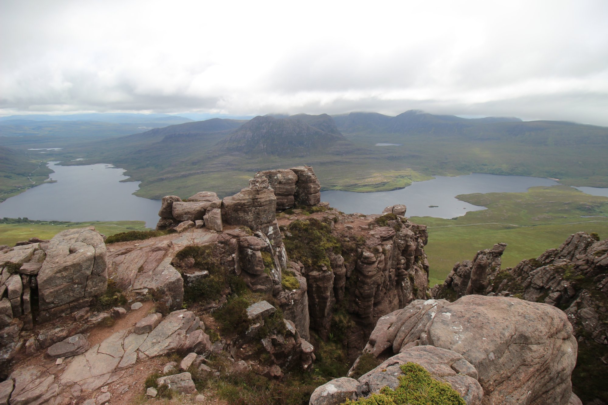
- The True Summit vs. The Eastern Peak: The ridge features a distinct split in technical difficulty. The Eastern Summit is easily accessible via a worn mountain path, providing a world-class vantage point looking across a maze of freshwater lochans toward the sail-like profile of Suilven and the massive bulk of Cùl Mòr. Conversely, the western True Summit is protected by a technical, high-exposure crest where false trails frequently dead-end over vertical chasms.
- The Bad Step Gatekeeper: Reaching the absolute highest point demands a steady head and moderate scrambling capability ($Grade ext{ }1/2$). The ultimate obstacle is a massive sandstone block wedged tightly into a notch on the ridge. Ascending requires climbing directly over its exposed face—demanding positive high-steps and confident handholds—or executing a claustrophobic crawl through a tight, slippery tunnel beneath its base, mere inches from a sheer drop-off.
The Trail Blueprint: Route Logistics and Mountain Realities
The circuit of Stac Pollaidh is highly efficient, though the extreme disproportion between its short approach and its technical ridge requires strict preparation:
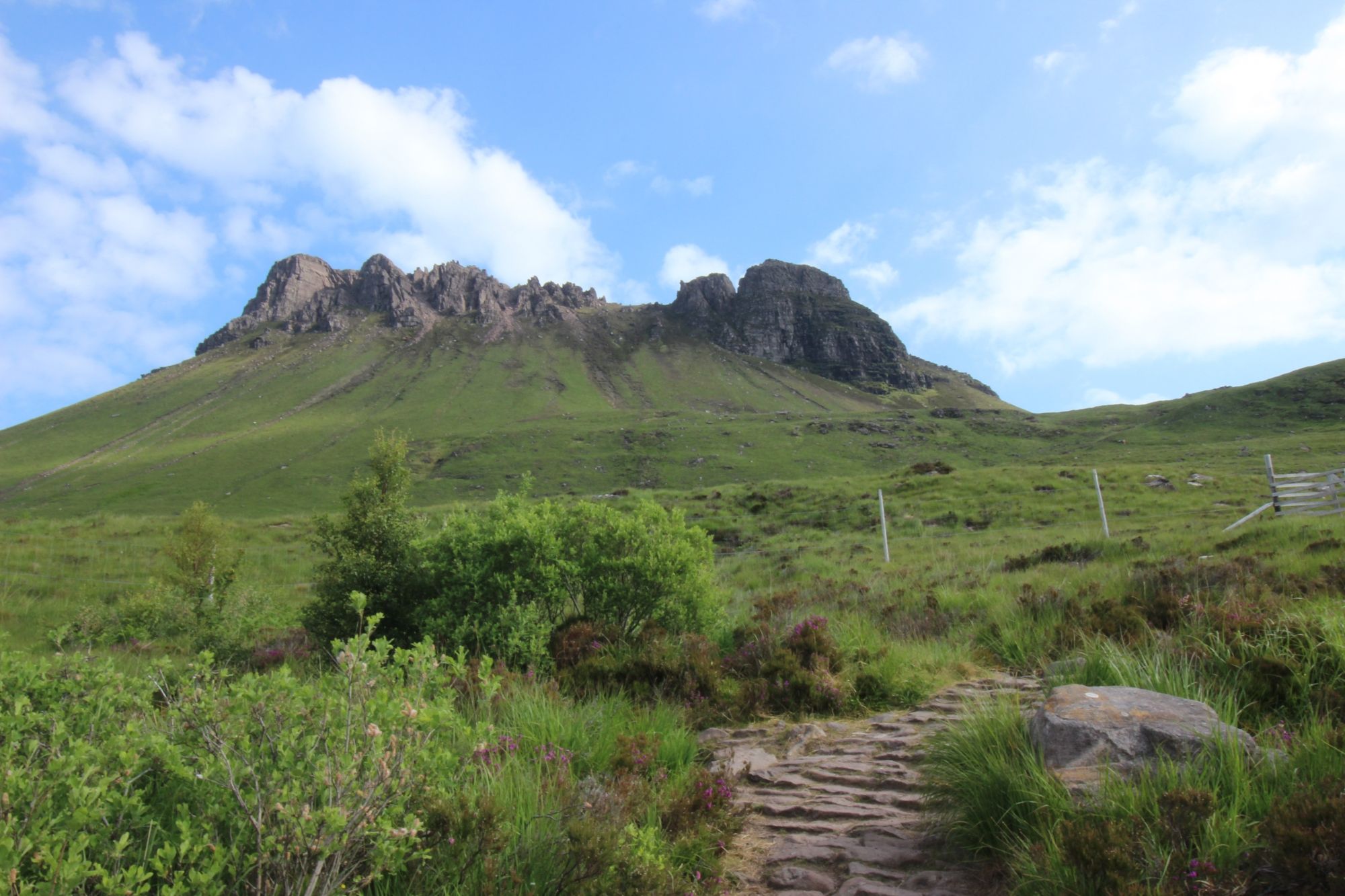
- Trail Grading and Circuit Walk: The standard route is a 2.75-mile ($4.4 ext{ km}$) circular loop that takes approximately 2 to 3 hours to complete. Maintained in partnership with local conservation trusts, the path ascends via the eastern flank using beautifully laid stone pitched steps before wrapping around the northern side for the descent. The terrain transitions rapidly from hard-packed gravel into loose, mobile sandstone scree near the ridge line, making rigid mountain boots with deep tread absolutely mandatory.
- Infrastructure and Arrival Constraints: The dedicated Stac Pollaidh car park is located directly on the single-track road running along the northern shore of Loch Lurgainn. This parking facility is notoriously small and operates on a first-come, first-served basis. By mid-morning during optimal summer climbing conditions, the lot is routinely overwhelmed. Content creators carrying heavy camera gear are highly encouraged to plan dawn or late-evening ascents, which elegantly circumvents traffic congestion while aligning perfectly with peak lighting conditions.
Cinematography, Wind Isolation, and Technical Production Integration
For independent travel filmmakers and landscape photographers, Stac Pollaidh acts as an elite vantage point, demanding precise control over focal compression and aggressive audio protection:
- Focal Compression and Landscape Framing: To capture the epic, isolated scale of Suilven rising from the Inverpolly moorland from the ridge of Stac Pollaidh, avoid ultra-wide lenses, which flatten the topography. Instead, utilize a medium telephoto lens ($50 ext{mm}$ to $70 ext{mm}$). This focal range compresses the physical distance, making the distant peaks look incredibly imposing and rendering the jagged sandstone pinnacles of Stac Pollaidh as a dramatic foreground frame. Shoot exclusively in a 10-bit log profile to retain the deep, iron-rich ochres of the sandstone without crushing the shadows in the vertical fissures.
- Managing High Wind Shear and Ridge Audio: The exposed ridge of Stac Pollaidh is an intensely hostile acoustic environment, subject to relentless, high-velocity Atlantic tracking winds. To isolate clean voice notes or capture the atmospheric whistle of the wind through the rock pinnacles, directional shotgun microphones must be completely enclosed within a professional, multi-layered fur windjammer (deadcat). Position your recording setups on the leeward side of the massive sandstone towers, using the ancient masonry of the mountain as a physical barrier to block wind distortion from clipping your preamps.
Conclusion: The Prehistoric Ridge
Stac Pollaidh remains an unmatched jewel of the Northwest Highlands, delivering a mountaineering experience that far exceeds its physical altitude. By balancing an accessible approach path with a deeply technical, high-yield summit crest, it rewards careful navigation with some of the most dramatic vistas in Western Europe. It is a timeless monument of stone—a wild, wind-scoured sanctuary where ancient Torridonian sandstone meets the vast northern horizons, demanding respect from every hiker and creator who treads upon its steep and rugged spine.