



The Volcanic Coastline: Navigating the Cliffs, Dunes, and Tidal Havens of St Cyrus Beach
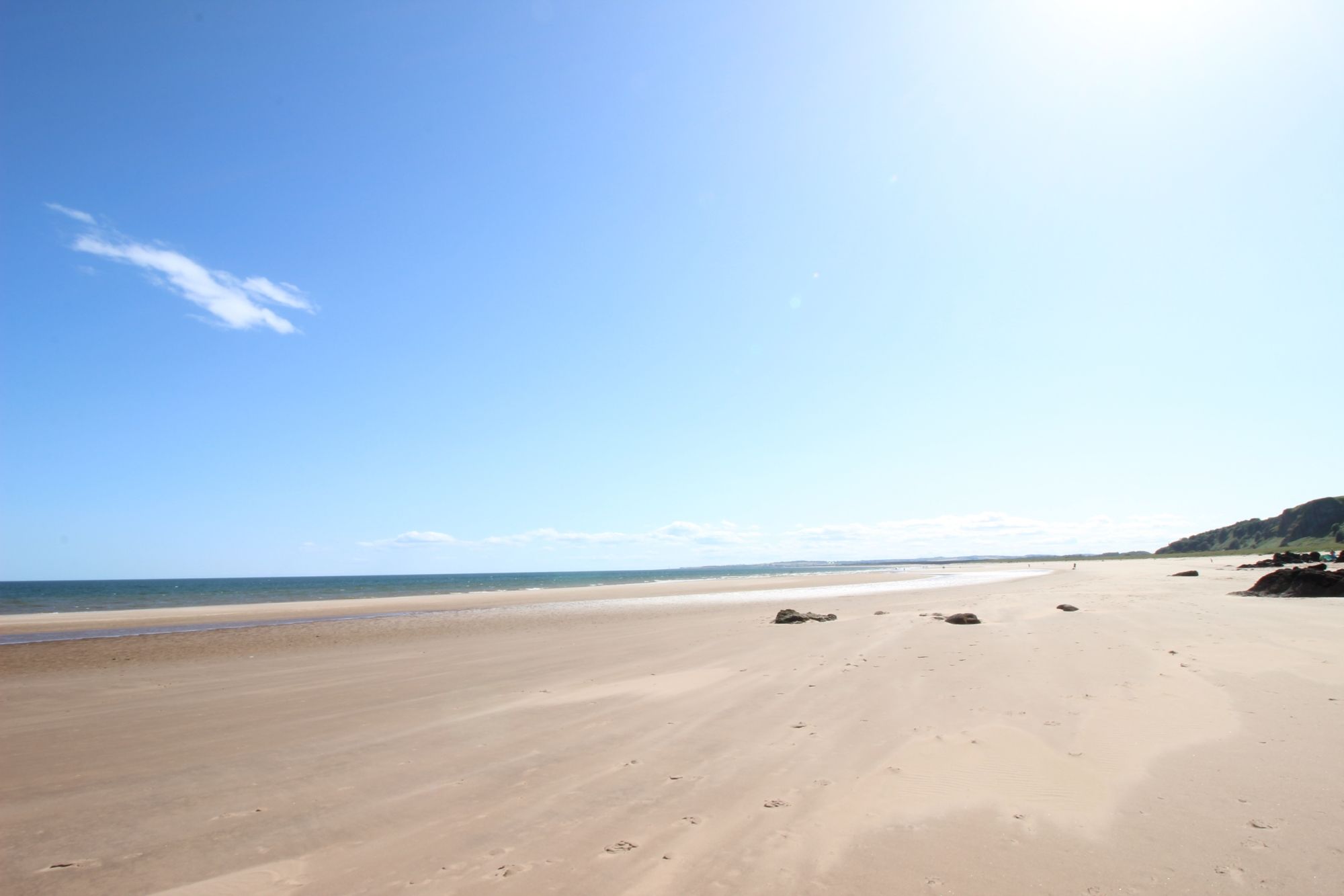
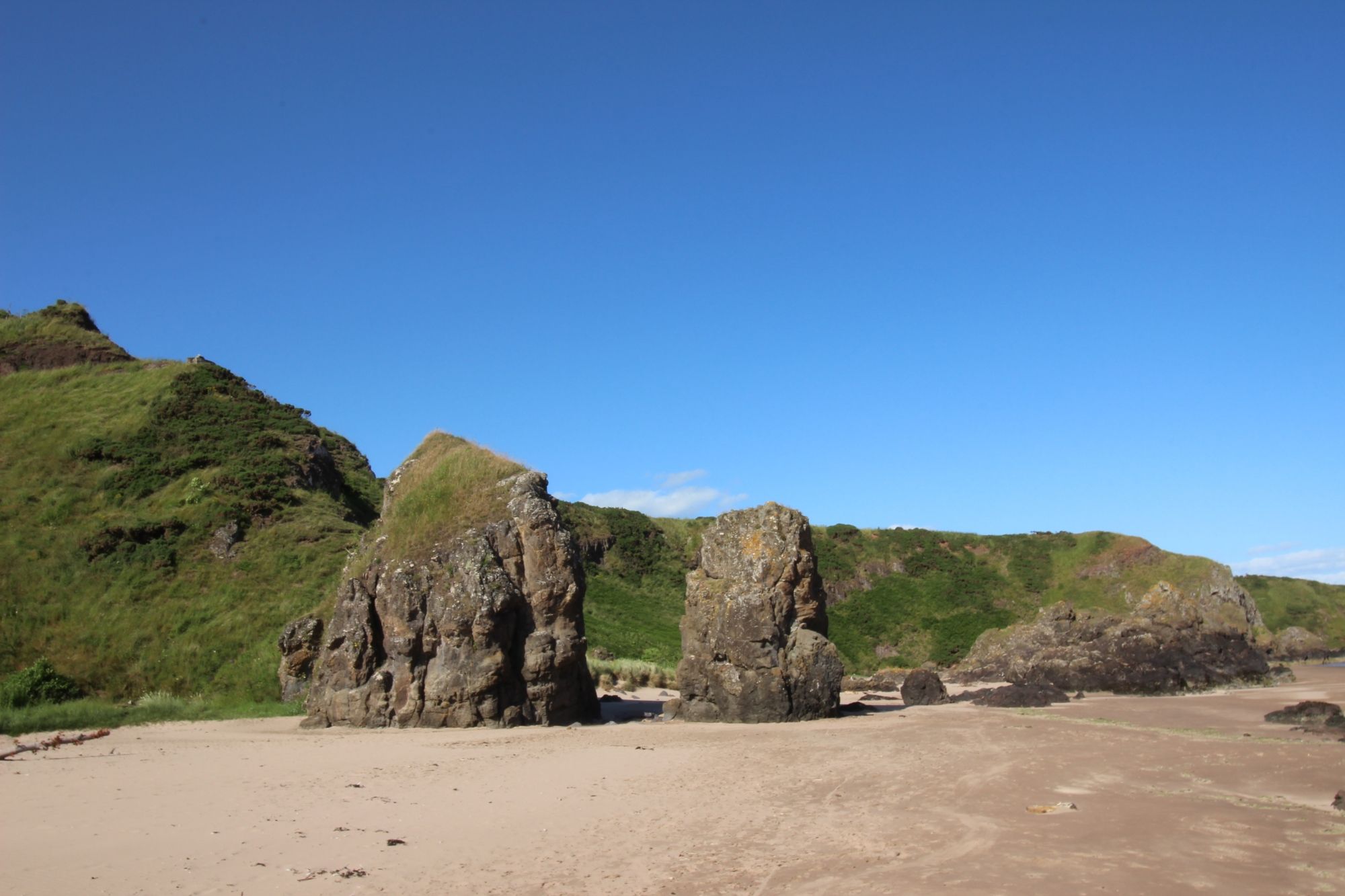
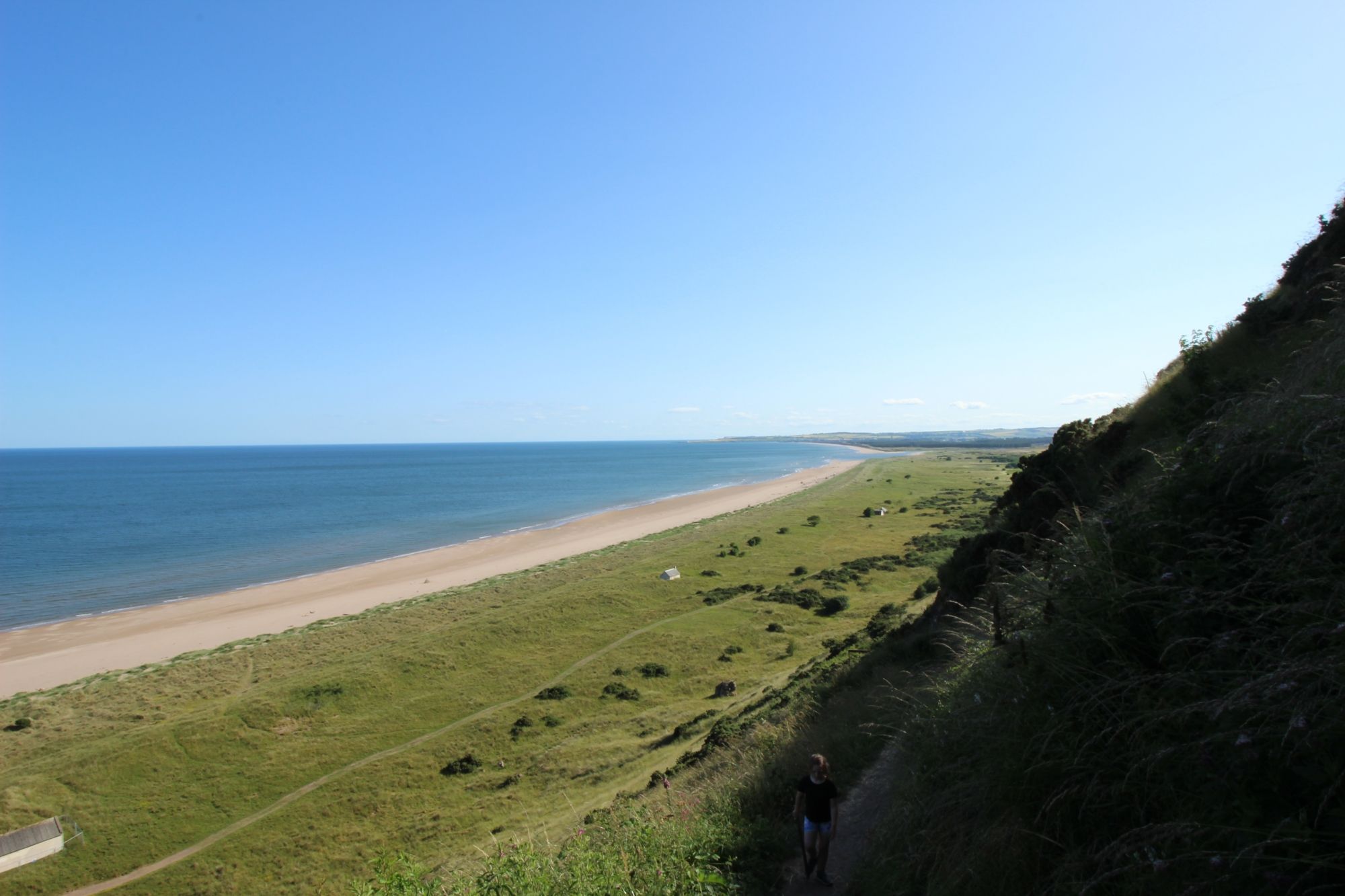
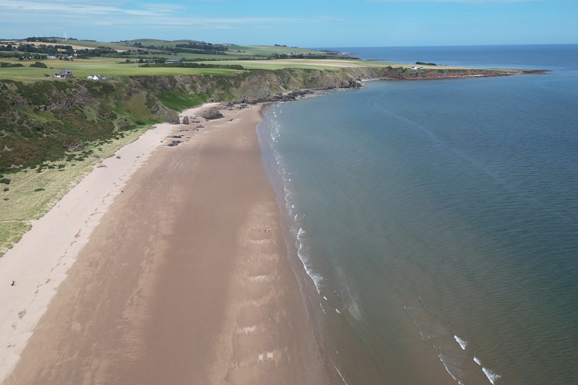
Sweeping majestically along the southern frontier of Aberdeenshire, [St Cyrus Beach](http://googleusercontent.com/map_location_reference/0) stands as one of the most ecologically diverse and geologically dramatic coastal strips in northeast Scotland. Managed as a premier National Nature Reserve by NatureScot, this expansive environment is defined by its massive, ancient volcanic cliffs that drop precipitously into a rich network of shifting sand dunes, salt marshes, and expansive intertidal flats. The primary pedestrian route cuts directly through this rugged cliff line, offering visitors a breath-taking aerial perspective of the North Sea before leading down to a pristine golden shoreline. It is a highly dynamic wilderness zone where unique micro-climates support rare wildflowers, nesting seabirds, and predatory raptors, presenting an exceptional destination for serious wilderness hikers, wildlife photographers, and digital travel storytellers.
The Geological Blueprint: Coastal Waterfalls, Sea Caves, and Estuary Limits
The physical structure of St Cyrus Beach is divided into highly distinct geographical zones, each presenting its own micro-topography and visual characteristics:
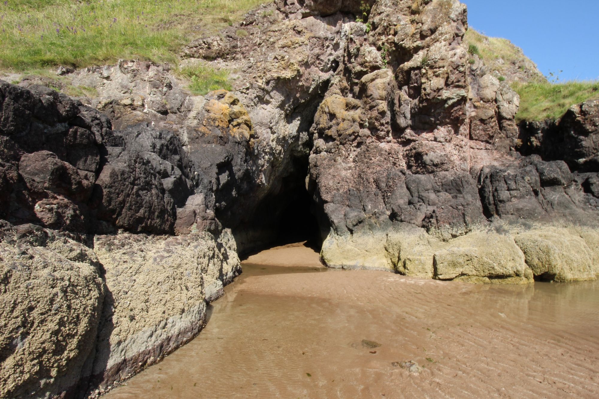
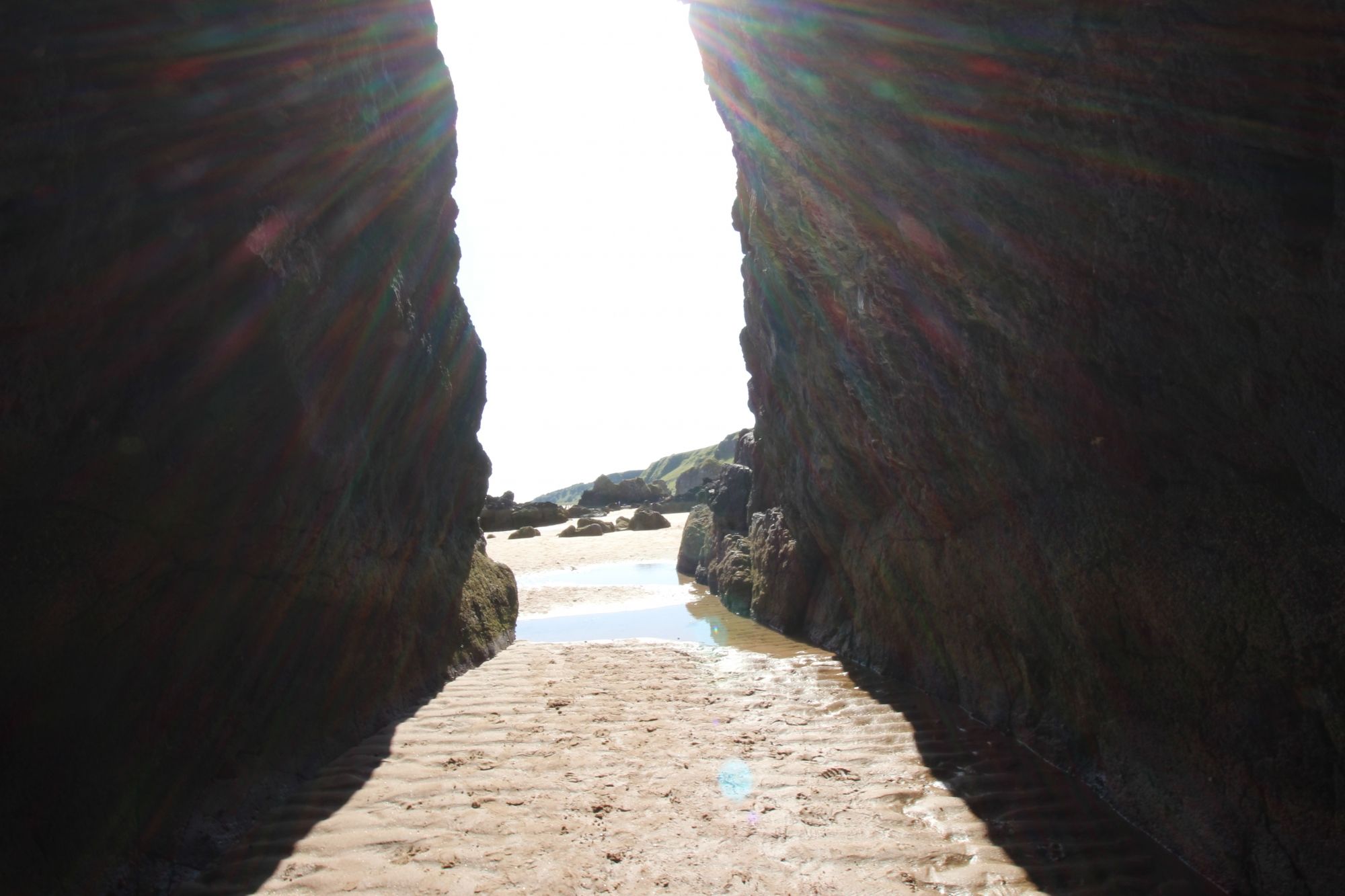
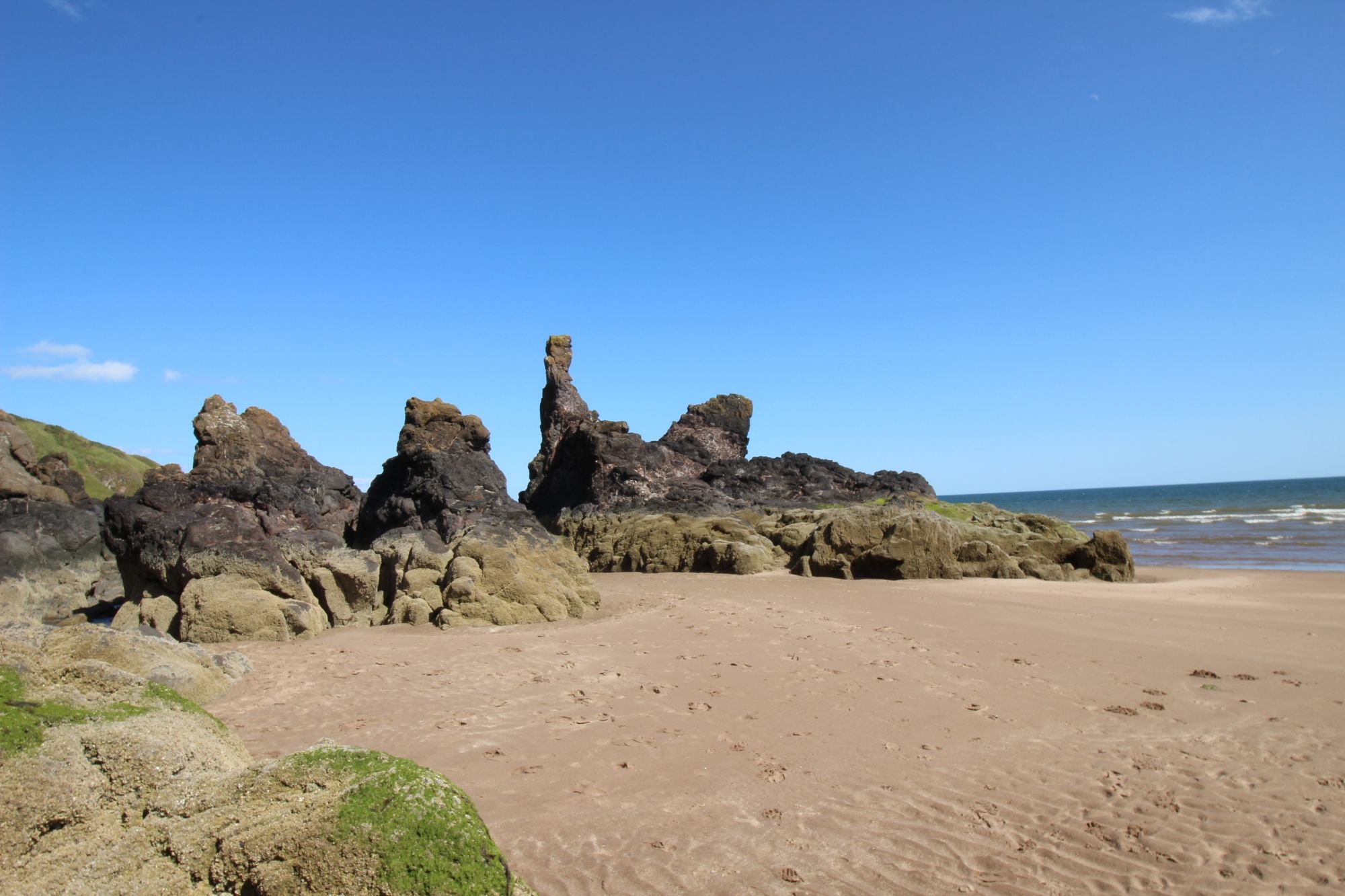
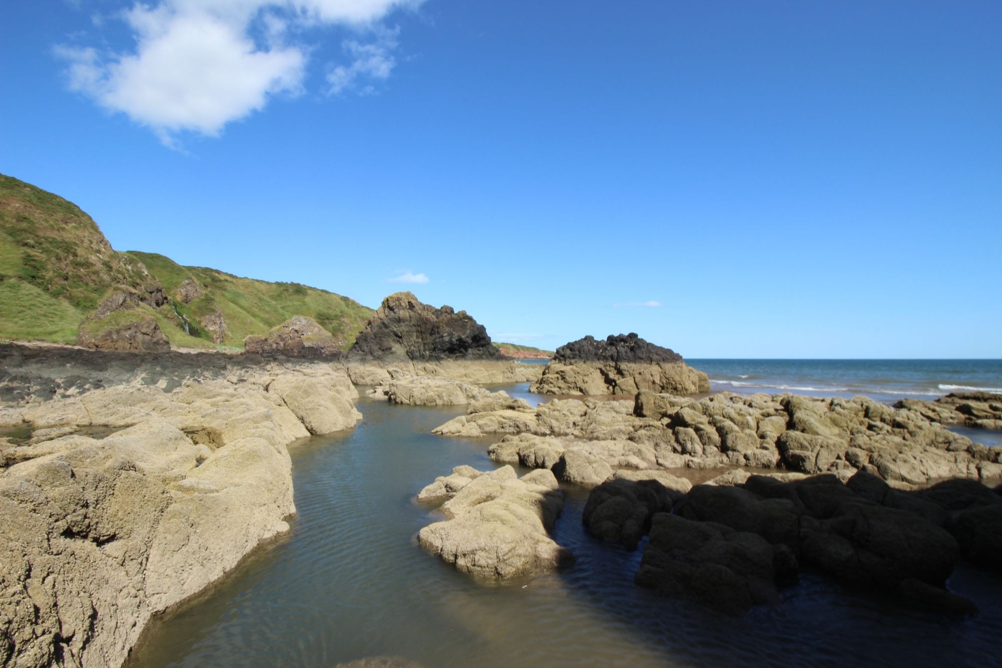
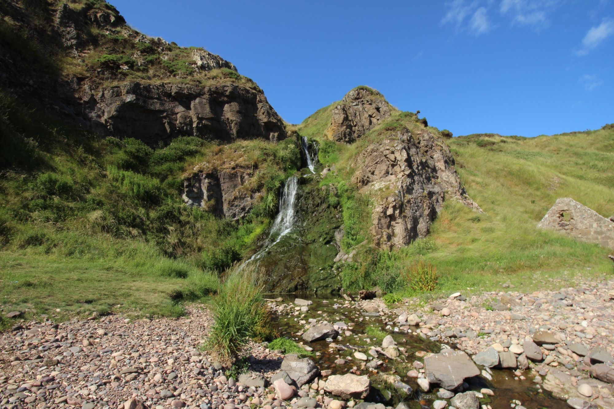
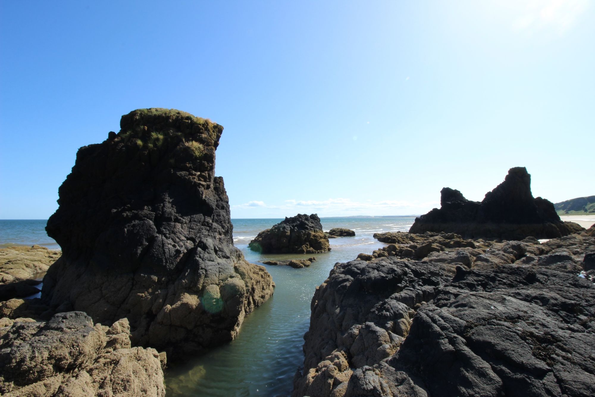
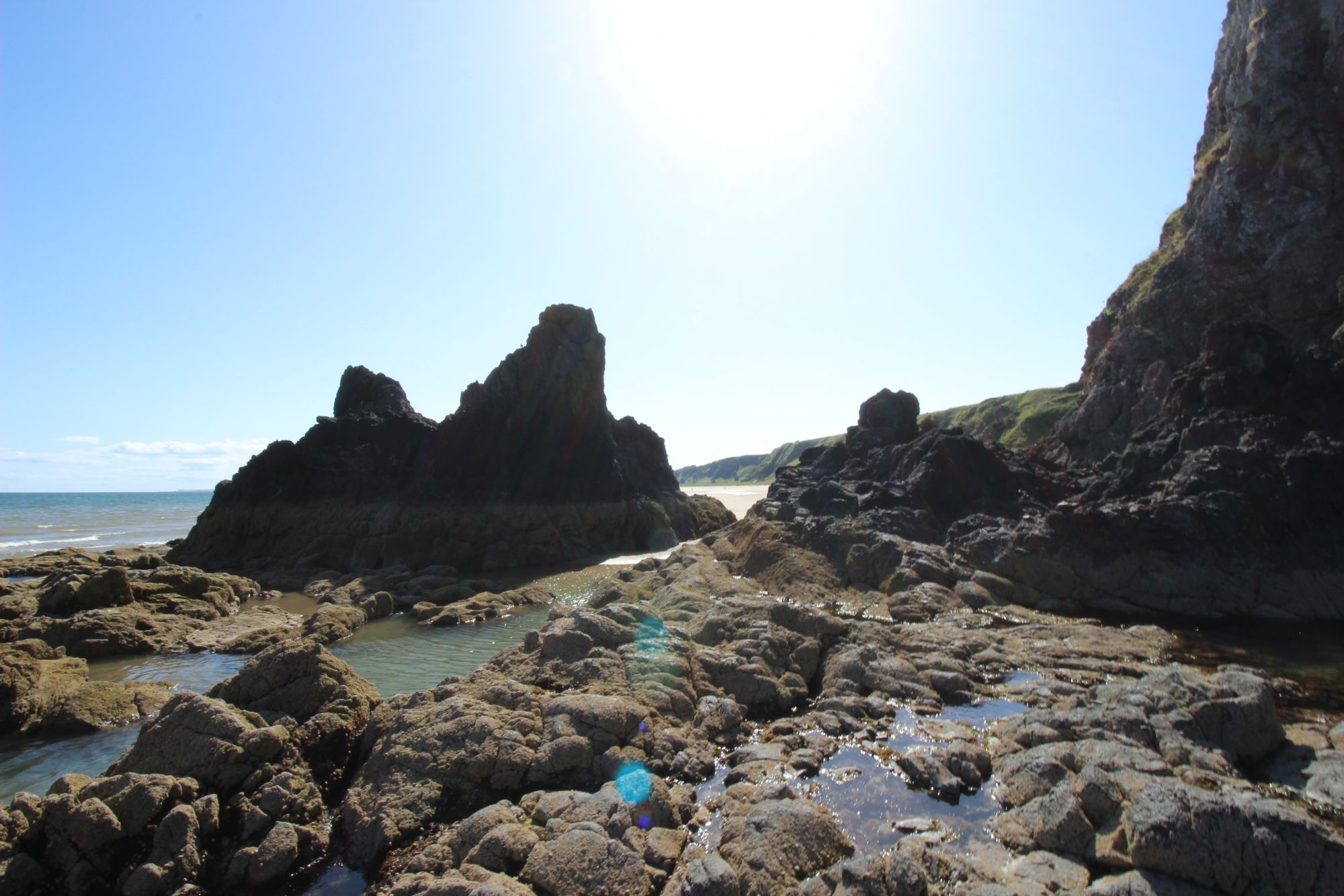
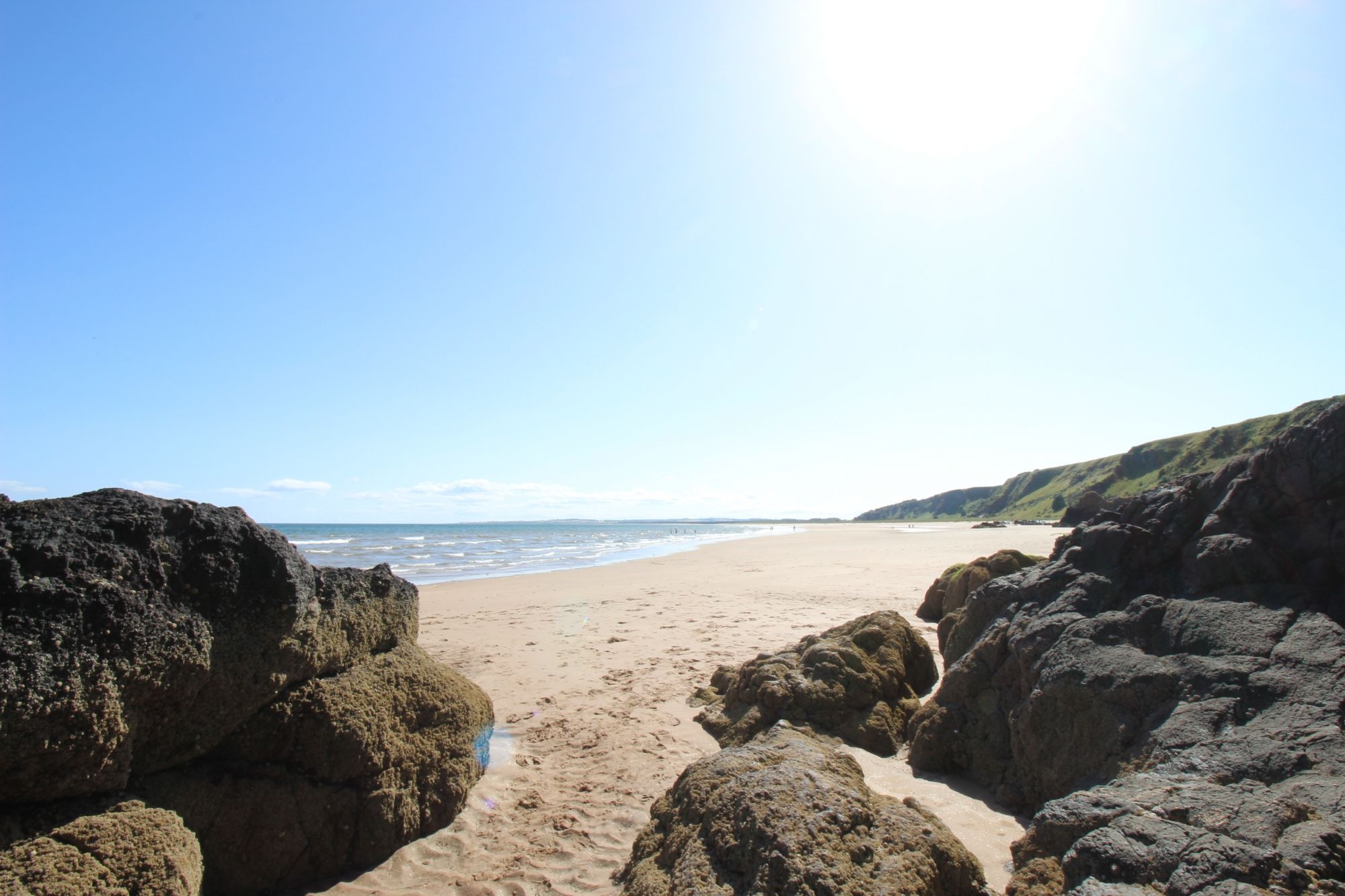
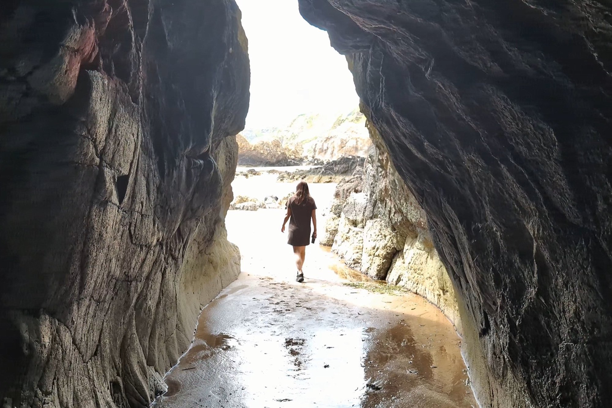
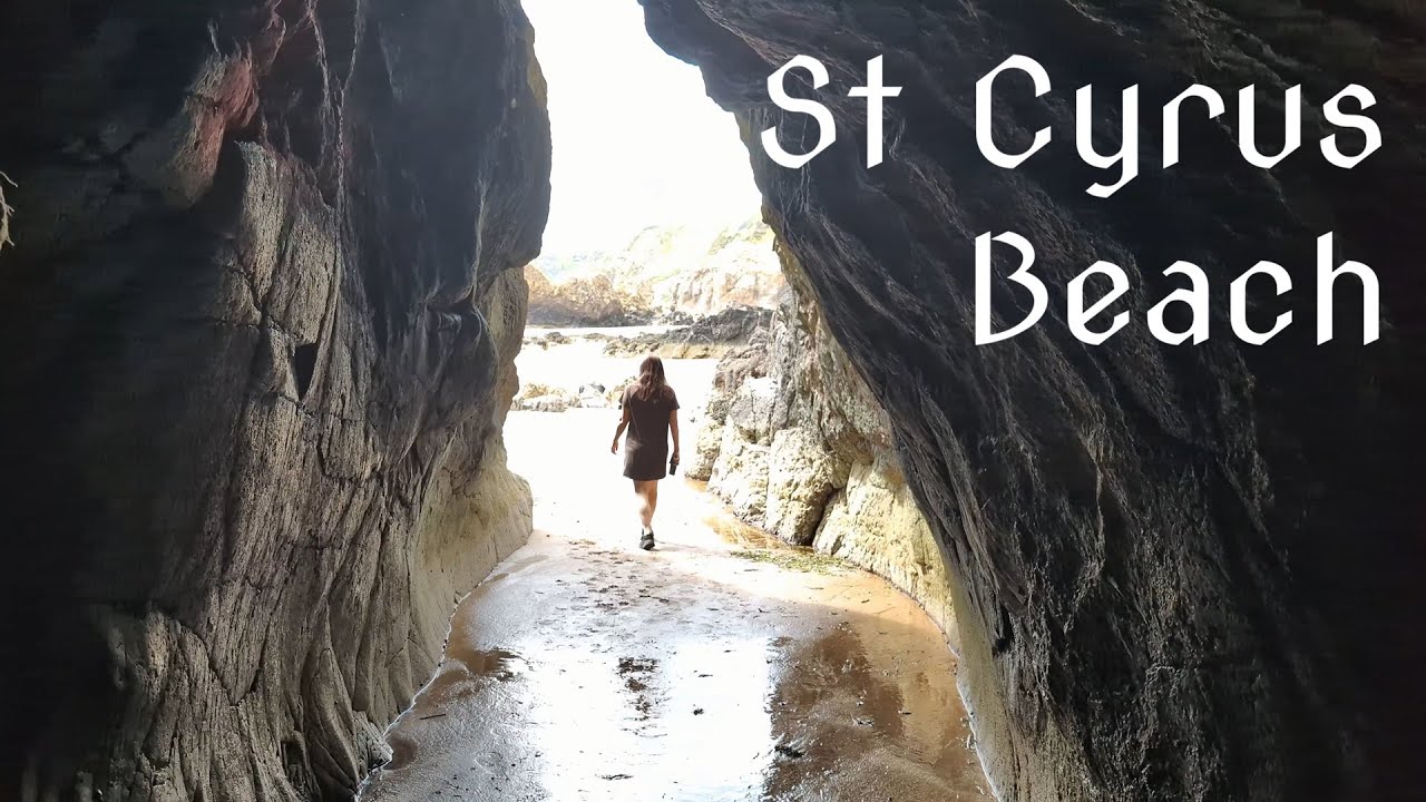
- The Rocky Northern Boundary (The Left Flank): Looking directly out toward the North Sea, the northern end of the beach terminates in a chaotic, wave-battered volcanic rock platform. Tucked tightly against the cliff face lies a natural sea cave, while just beyond the immediate boulder fields, a hidden freshwater waterfall cascades down the vertical rock wall. This zone is heavily influenced by the tide, requiring careful observation to explore safely before rising waters compress the shoreline.
- The Southern Estuary (The Right Flank): Tracking south, the golden sands extend uninterrupted for over a mile before ending abruptly at the mouth of the River North Esk. This natural river estuary forms a shifting, high-current water barrier that physically divides St Cyrus from the adjacent Montrose Beach in Angus, creating a rich feeding zone for wading birds and migratory salmon.
- The Cliff-Base Micro-Climate: The massive volcanic cliffs act as a giant solar radiator, shielding the beach and dunes from harsh northerly winds. This creates an unusually warm, sheltered micro-climate along the undercliff, allowing rare insect species and specialized flora—such as the brilliant purple clustered bellflower and wild liquorice—to thrive in abundance.
The Trail Blueprint: Route Logistics and Pedestrian Realities
Exploring St Cyrus is an exceptionally rewarding coastal walk, though the physical transition from the clifftop to the intertidal zone demands steady footwork and proper equipment:
- The Cliff Descent and Ground Conditions: The primary access path down from the main visitor center and car park is well-defined but intensely steep and narrow. Winding down the face of the volcanic cliff, the path features tight switchbacks that can become highly slippery when coated in early morning sea mist or heavy Scottish rainfall. Sturdy trekking boots with deep lug patterns are strongly recommended to maintain stable footing on the gravelly descents.
- Infrastructure and Visitor Center Access: The reserve is excellently supported by a dedicated NatureScot visitor center situated at the top of the cliff line. This hub provides clean public toilets, informative exhibits detailing the local biodiversity, and clear maps of the reserve's trail layout. The main car park is spacious and free of charge, though it can fill rapidly on clear summer weekends when optimal lighting conditions arrive.
Cinematography, Wildlife Audio, and Technical Production Integration
For independent travel filmmakers and landscape photographers, St Cyrus Beach operates as a high-yield natural studio, requiring precise exposure control across diverse geological textures:
- Managing High Contrast and Volcanic Textures: The dark, dark basalt and red sandstone of the cliffs absorb light heavily, while the sweeping white foam of the North Sea surf and the bright golden sand reflect it intensely. To capture the fine, craggy lines of the sea caves and the delicate spray of the hidden waterfall without blowing out your highlights, shoot exclusively in a 10-bit log profile. A high-efficiency Circular Polarizer (CPL) is mandatory to cut through the heavy sea-glare bouncing off the wet sand flats, deepening the emerald-green tones of the coastal shallows.
- Acoustic Isolation of the Hidden Waterfall: The sonic profile of the beach is highly complex, dominated by the roaring, low-frequency rumble of the open North Sea. To capture the crisp, musical sound of the hidden freshwater waterfall on the left flank without it being completely overwhelmed by ocean noise, position highly directional shotgun microphones close to the rock face, using the surrounding boulder structures as a natural acoustic shield. Enclosing all recording equipment within a multi-layered fur windjammer (deadcat) is non-negotiable to prevent wind shear from clipping your audio tracks.